The best hikes in Douglas County
Nevada · 51 HiiKER Hikes
View Hikes on map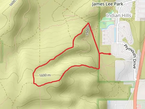
What to expect
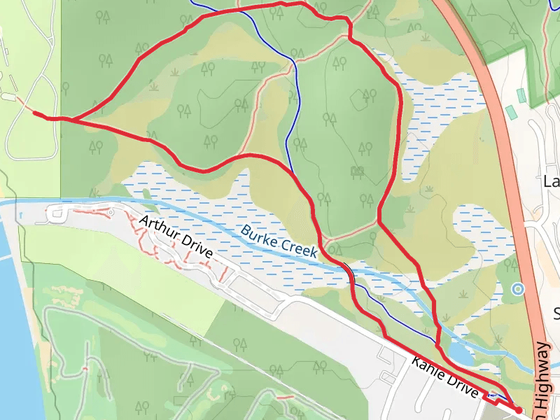
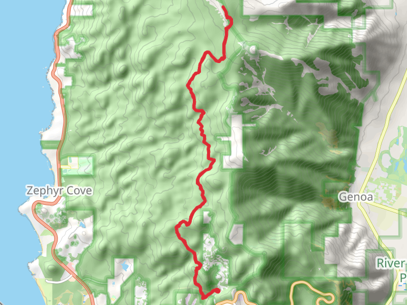
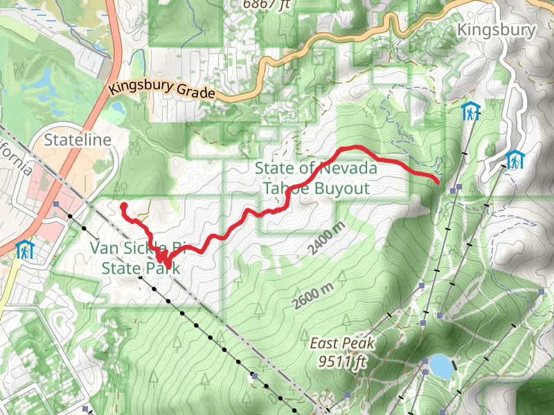
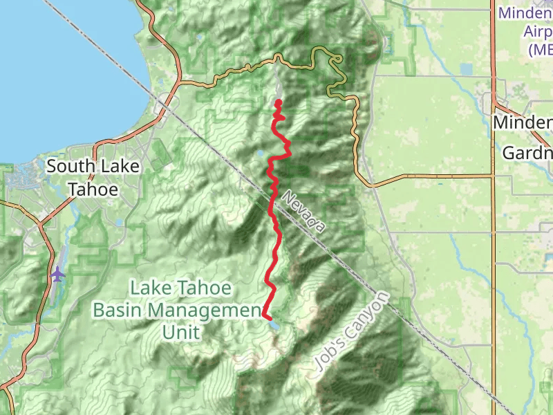
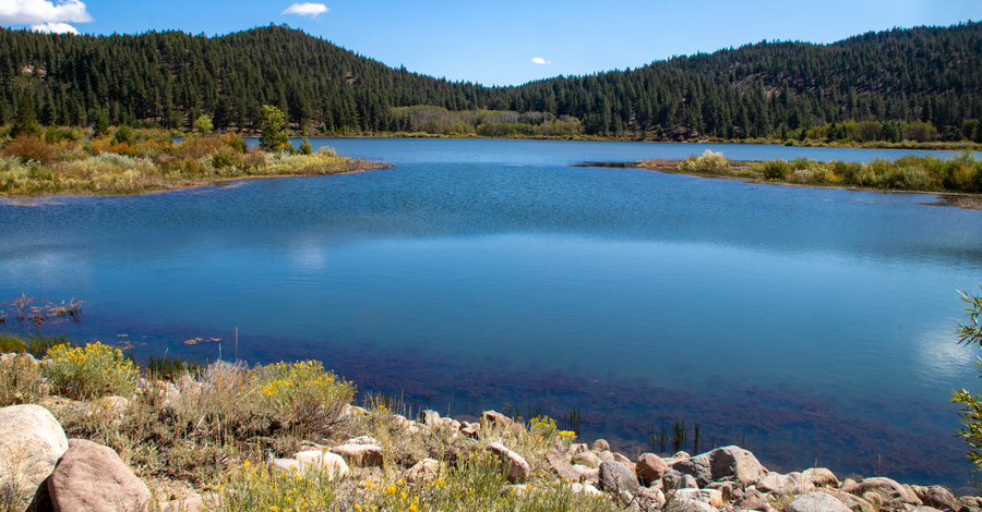
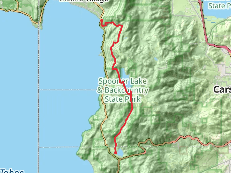
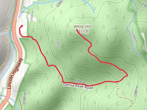
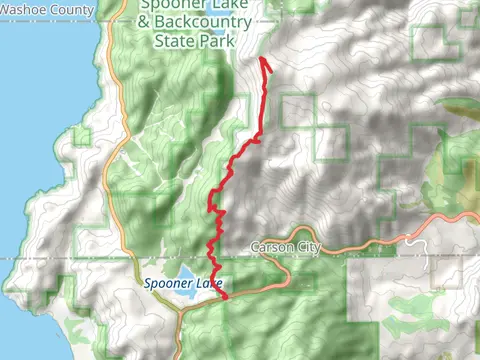
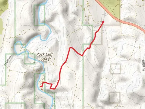
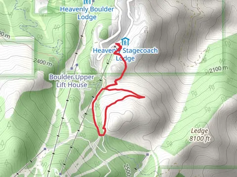
Check out some of the best hiking, walking and backpacking routes in Douglas County, Nevada. The Tahoe Rim Trail and Kingsbury South-Stagecoach Access Loop is the most popular trail. There are trails of various difficulty levels including easy and medium. The trail with the highest elevation climb is the Freel Peak and Tahoe Rim Trail and the trail with the least amount of climbing is the Johnson Lane North Loop. The longest trail is the Freel Peak and Tahoe Rim Trail at 39.4 km. For a shorter adventure you can try the Cave Rock from Winding Way at 1.3 km. Get off line access to Shop, Fastfood, Peak, and Restaurant locations and much more with a Hiiker subscription.

Be prepared for hiking in Nevada with the HiiKER app