Download
3D Flyover
Add to list
More
235.9 km
~8 days
473 m
Multi-Day
“Embark on the Hertogenpad, a captivating Dutch trail weaving history, nature, and culture into a serene hiking tapestry.”
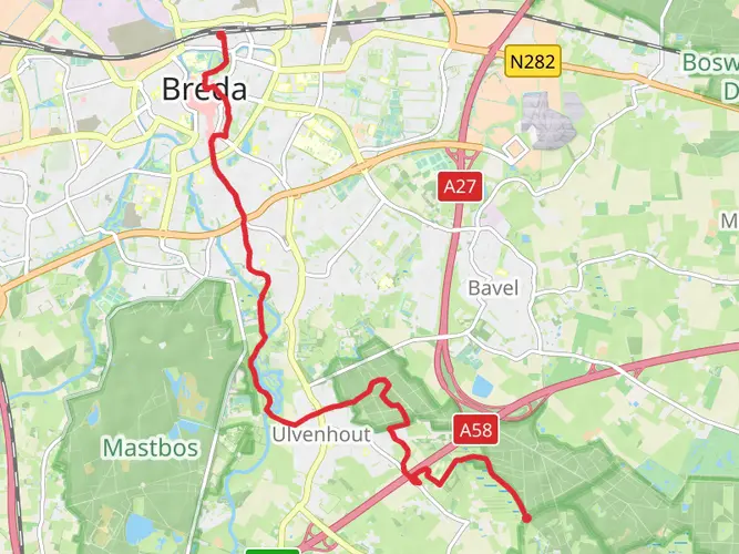
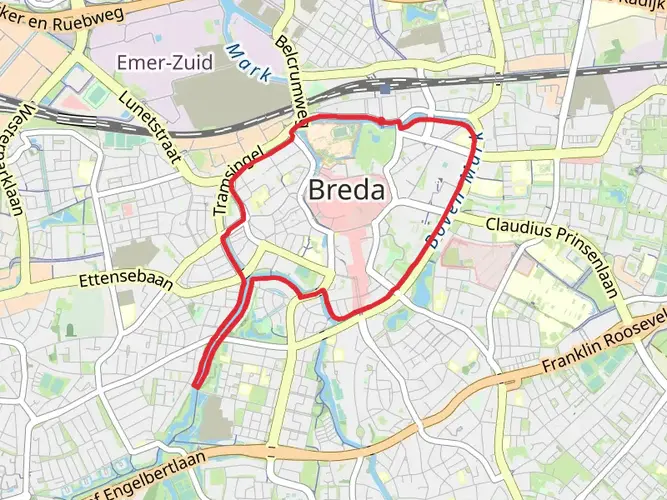
The Hertogenpad is a scenic long-distance trail that meanders through the southern part of the Netherlands, starting near the vibrant city of Breda and stretching all the way to Roermond. Covering approximately 236 kilometers (about 147 miles) and with an elevation gain of around 400 meters (roughly 1312 feet), this trail offers a relatively easy hike that can be enjoyed by walkers of all skill levels.
Getting to the Trailhead
To begin your journey on the Hertogenpad, you can easily reach the starting point near Breda by public transport or car. Breda is well-connected by train from major Dutch cities, and from the Breda train station, you can take a bus or a short taxi ride to the trailhead. If you're driving, there are parking facilities near the starting point where you can leave your car.
Navigating the Trail
As you embark on the Hertogenpad, you'll find that the trail is well-marked with the characteristic red and white signage common to long-distance paths in the Netherlands. For additional navigation support, HiiKER is an excellent tool to use for planning your hike, tracking your progress, and ensuring you stay on the right path.
Landmarks and Historical Significance
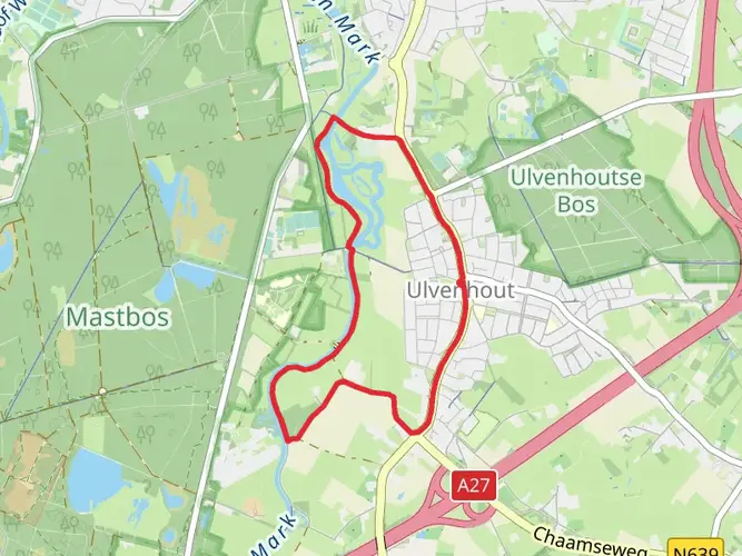
The trail takes you through a variety of landscapes, including lush forests, heathlands, and picturesque villages. One of the significant landmarks you'll encounter is the Breda Castle in the heart of Breda, a historical fortress that dates back to the Middle Ages. As you continue, you'll pass through the Mastbos, a beautiful forest planted in the 16th century, which is one of the oldest pine forests in the Netherlands.
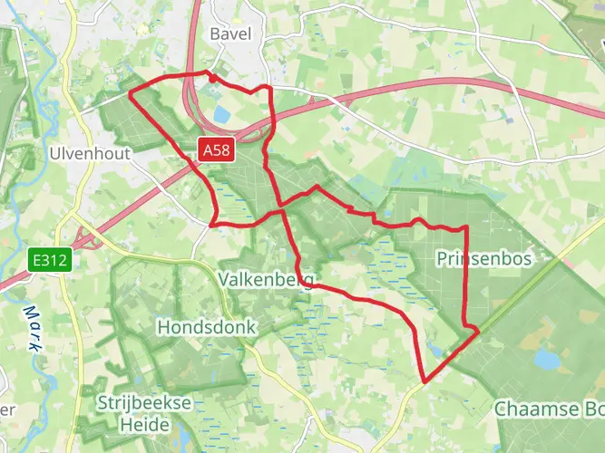
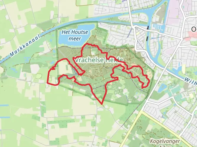
Further along the route, the trail crosses the Loonse en Drunense Duinen National Park, known for its shifting sand dunes, a unique feature in the Dutch landscape. This area is also rich in wildlife, so keep an eye out for various bird species and the occasional roe deer.
Nature and Wildlife
The Hertogenpad offers hikers the opportunity to immerse themselves in the diverse ecosystems of the region. The trail traverses the Maas River valley, where you can witness the river's influence on the surrounding countryside. The path also leads through the Peelland region, an area characterized by its peat bogs and marshes, which are home to a variety of birdlife.
Cultural Highlights
As you approach the end of the trail in Roermond, you'll pass through areas steeped in history and culture. The region is dotted with old farms, castles, and monasteries, each telling a story of the Netherlands' rich past. The trail's endpoint in Roermond is a historic city with a charming old town center, where you can explore the impressive St. Christopher's Cathedral and the Munsterkerk, a 13th-century church.
Preparation and Planning
Before setting out on the Hertogenpad, it's essential to plan your hike carefully. The trail can be completed in sections or as a multi-day trek, with various accommodations available along the route, including campsites, B&Bs, and hotels. Ensure you have appropriate gear for the weather, as conditions can vary, and pack sufficient water and snacks for the journey. Always check the local weather forecast and trail conditions before you start your hike.
By preparing adequately and respecting the natural environment, your hike along the Hertogenpad will be a memorable experience, offering a blend of natural beauty, wildlife encounters, and a deep dive into the historical landscape of the southern Netherlands.

Frequently asked questions
How long is the Hertogenpad and how many stages does the Hertogenpad have?
The Hertogenpad is about 235.9 km long, or roughly 147 miles, and the classic route is split into 12 day stages. It runs west to east from Breda to Roermond, making it a manageable multi-day walk rather than a single continuous trek.
Where does the Hertogenpad start and finish?
The Hertogenpad starts in Breda and finishes in Roermond in the southeastern Netherlands. Along the way it crosses North Brabant into Limburg and links a series of well-known southern Dutch landscapes rather than staying in one park or reserve.
Is the Hertogenpad an easy long-distance walk?
Yes. The Hertogenpad is generally considered an easy long-distance trail, with only about 473 m of total elevation gain across nearly 236 km. That low climbing total is typical of the Netherlands and makes the route approachable for walkers who want distance without sustained steep ascents.
What is the route of the Hertogenpad through Brabant and Limburg?
The Hertogenpad runs from Breda to Roermond and passes through a varied mix of southern Dutch countryside and nature areas. Well-known sections include Boswachterij Dorst near the opening stage, and the route is also associated with landscapes such as the Loonse en Drunense Duinen, the Maashorst, and De Groote Peel before reaching Roermond.
What is stage 1 of the Hertogenpad?
Stage 1 of the Hertogenpad is the Breda to Dongen section, which is 16.6 km long. This opening leg leaves Breda and heads through Boswachterij Dorst, an area known for open woodland and Scottish Highland cattle, before finishing in Dongen.
Is the Hertogenpad waymarked and easy to follow?
Yes. The Hertogenpad is a marked long-distance trail and is waymarked in both directions with the standard Dutch white-and-red markings used on LAW routes. Because the route has had updates over time, current route lines and stage information matter more than relying on an older printed guide alone.
Comments and Reviews
User comments, reviews and discussions about the Hertogenpad, Netherlands.
4.29
average rating out of 5
7 rating(s)