American Perimeter Trail - Rocky Mountains Primary trail stages
stage 1
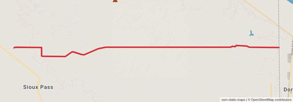
Starting at: Fairview, Richland County, 59221
Ending at: Fairview, Richland County, 59221
Distance: 25.2 km
Elevation gain: 167 m
Duration: 05:18:31
stage 2
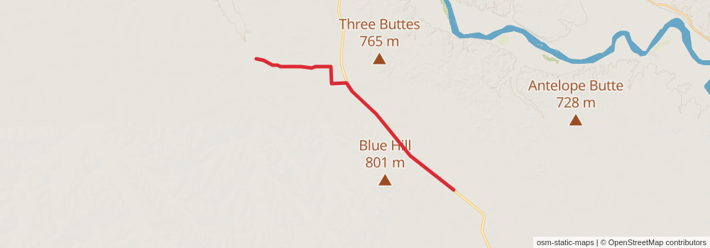
Starting at: Fairview, Richland County, 59221
Ending at: Culbertson, Richland County, 59218
Distance: 19.7 km
Elevation gain: 60 m
Duration: 04:01:51
stage 3
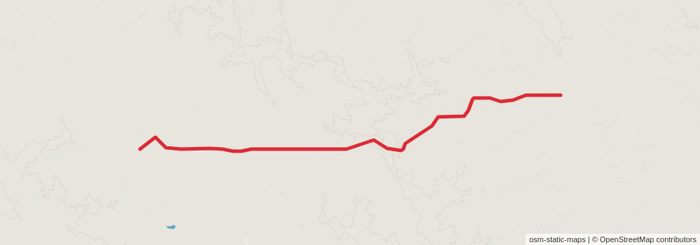
Starting at: Sidney, Richland County, 59270
Ending at: Brockton, Richland County, 59213
Distance: 17.4 km
Elevation gain: 174 m
Duration: 03:45:49
stage 4
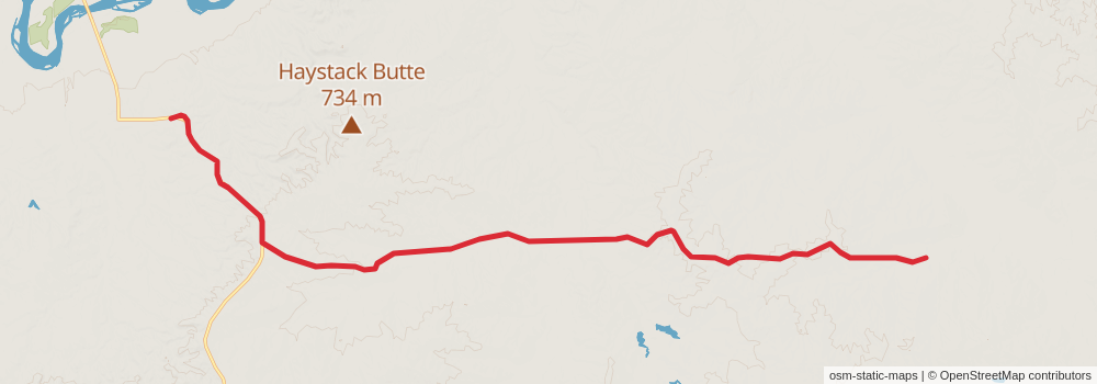
Starting at: Brockton, Richland County, 59213
Ending at: Poplar, Richland County, 59255
Distance: 21.2 km
Elevation gain: 229 m
Duration: 04:37:15
stage 5
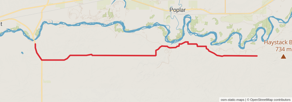
Starting at: Poplar, Richland County, 59255
Ending at: Wolf Point, McCone County, 59201
Distance: 44.7 km
Elevation gain: 202 m
Duration: 09:16:44
stage 6
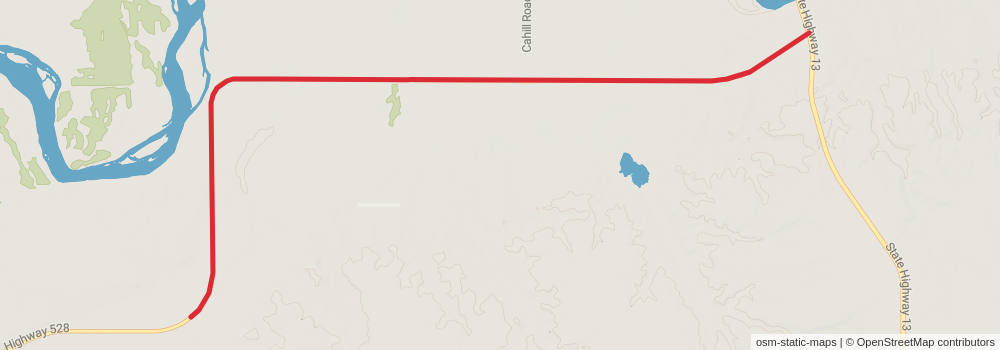
Starting at: Wolf Point, McCone County, 59201
Ending at: Wolf Point, McCone County, 59201
Distance: 10.9 km
Elevation gain: 19 m
Duration: 02:13:09
stage 7
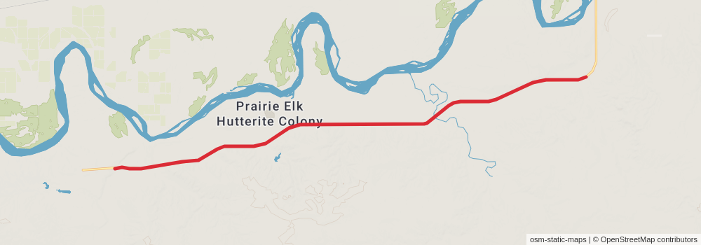
Starting at: Wolf Point, McCone County, 59201
Ending at: Wolf Point, McCone County, 59201
Distance: 18.8 km
Elevation gain: 76 m
Duration: 03:53:26
stage 8
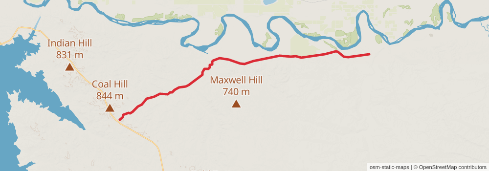
Starting at: Wolf Point, McCone County, 59201
Ending at: Fort Peck, McCone County, 59223
Distance: 29.9 km
Elevation gain: 265 m
Duration: 06:25:49
stage 9
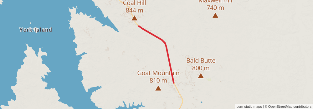
Starting at: Fort Peck, McCone County, 59223
Ending at: Fort Peck, McCone County, 59223
Distance: 12.2 km
Elevation gain: 55 m
Duration: 02:32:26
stage 10
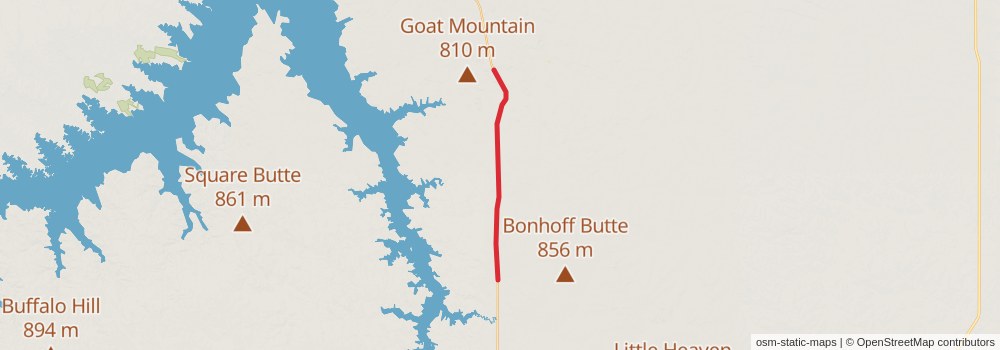
Starting at: Fort Peck, McCone County, 59223
Ending at: Circle, McCone County, 59215
Distance: 34.2 km
Elevation gain: 73 m
Duration: 06:57:46
stage 11
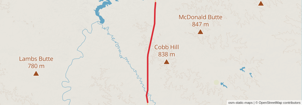
Starting at: Brockway, McCone County, 59214
Ending at: Brockway, McCone County, 59214
Distance: 24.6 km
Elevation gain: 90 m
Duration: 05:04:39
stage 12
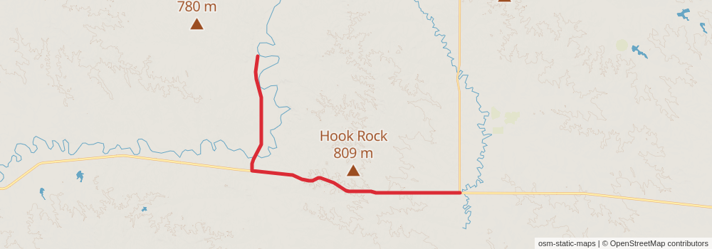
Starting at: Rest Area, Jordan, Garfield County, 59337
Ending at: Jordan, Garfield County, 59337
Distance: 24.2 km
Elevation gain: 130 m
Duration: 05:03:04
stage 13
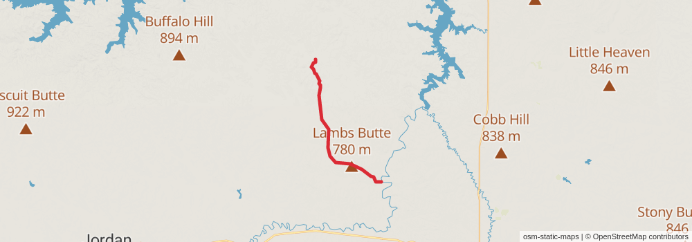
Starting at: Jordan, Garfield County, 59337
Ending at: Jordan, Garfield County, 59337
Distance: 25.4 km
Elevation gain: 265 m
Duration: 05:31:21
stage 14
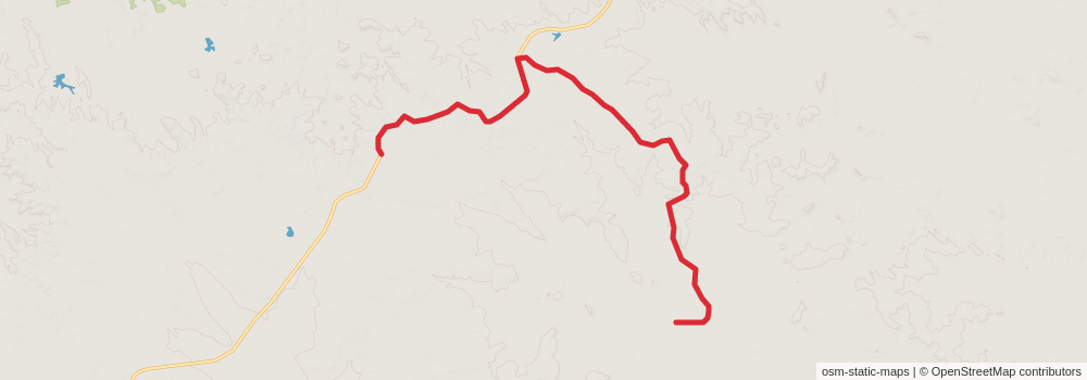
Starting at: Jordan, Garfield County, 59337
Ending at: Jordan, Garfield County, 59337
Distance: 15.9 km
Elevation gain: 227 m
Duration: 03:33:00
stage 15
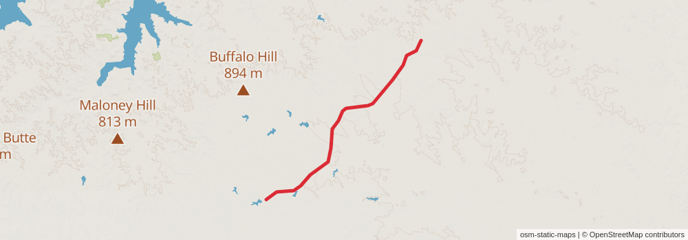
Starting at: Jordan, Garfield County, 59337
Ending at: Jordan, Garfield County, 59337
Distance: 18.3 km
Elevation gain: 127 m
Duration: 03:52:42
stage 16
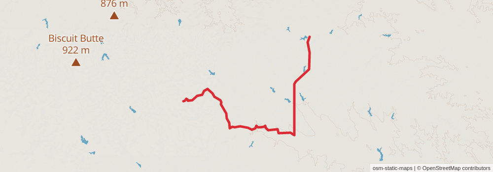
Starting at: Jordan, Garfield County, 59337
Ending at: Garfield County, 59337
Distance: 28.0 km
Elevation gain: 204 m
Duration: 05:56:52
stage 17
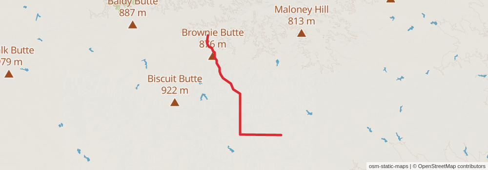
Starting at: Garfield County, 59337
Ending at: Jordan, Garfield County, 59337
Distance: 16.5 km
Elevation gain: 118 m
Duration: 03:29:14
stage 18
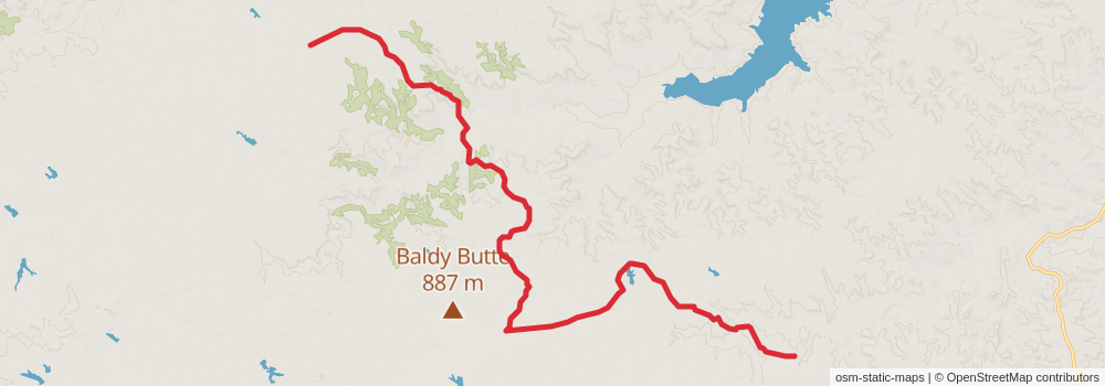
Starting at: Jordan, Garfield County, 59337
Ending at: Garfield County, 59337
Distance: 21.0 km
Elevation gain: 351 m
Duration: 04:46:43
stage 19
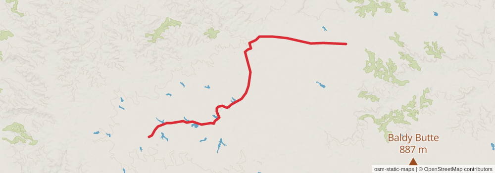
Starting at: Garfield County, 59337
Ending at: Brusett, Garfield County, 59318
Distance: 15.4 km
Elevation gain: 149 m
Duration: 03:19:15
stage 20
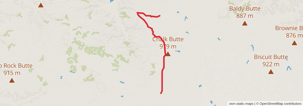
Starting at: Brusett, Garfield County, 59318
Ending at: Brusett, Garfield County, 59318
Distance: 21.0 km
Elevation gain: 280 m
Duration: 04:39:50
stage 21
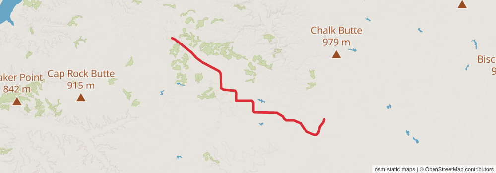
Starting at: Brusett, Garfield County, 59318
Ending at: Brusett, Garfield County, 59318
Distance: 23.1 km
Elevation gain: 243 m
Duration: 05:01:23
stage 22
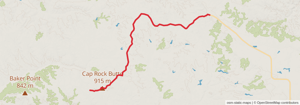
Starting at: Brusett, Garfield County, 59318
Ending at: Brusett, Garfield County, 59318
Distance: 17.2 km
Elevation gain: 181 m
Duration: 03:43:52
stage 23
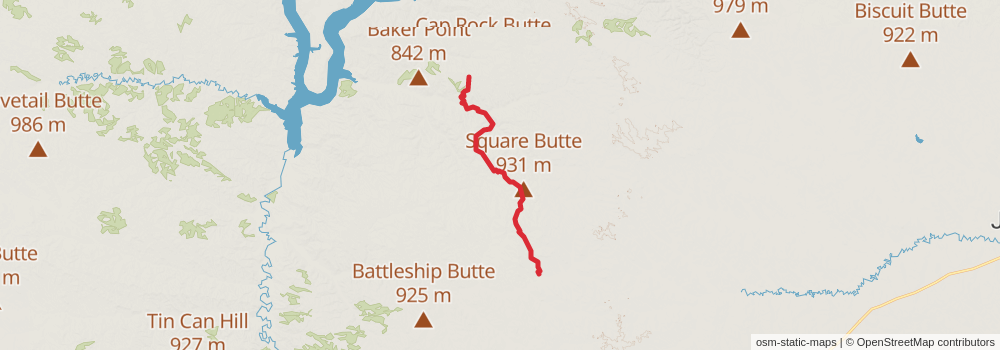
Starting at: Brusett, Garfield County, 59318
Ending at: Sand Springs, Garfield County, 59077
Distance: 29.8 km
Elevation gain: 472 m
Duration: 06:45:00
stage 24
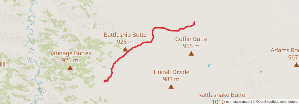
Starting at: Sand Springs, Garfield County, 59077
Ending at: Sand Springs, Garfield County, 59077
Distance: 23.2 km
Elevation gain: 235 m
Duration: 05:02:24
stage 25
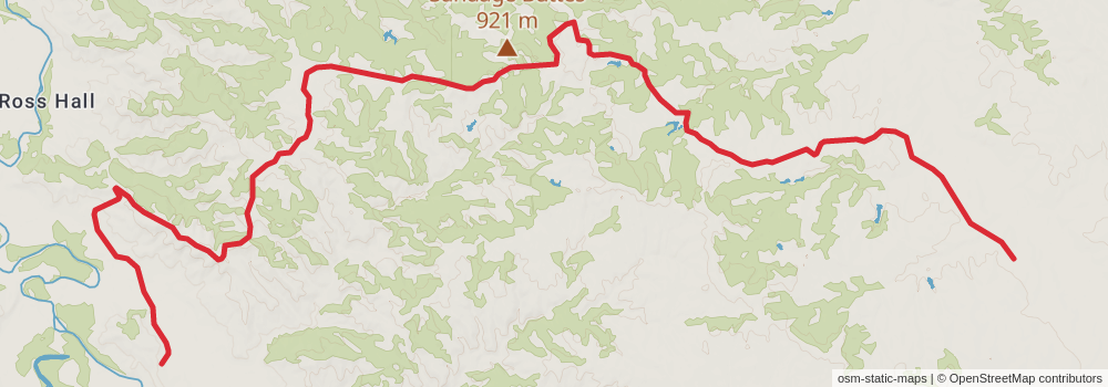
Starting at: Sand Springs, Garfield County, 59077
Ending at: Mosby, Garfield County, 59058
Distance: 17.9 km
Elevation gain: 244 m
Duration: 03:58:51
stage 26
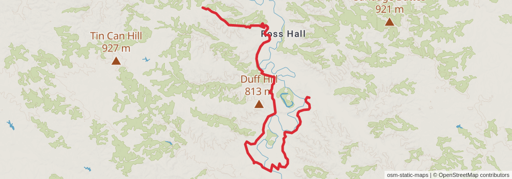
Starting at: Mosby, Garfield County, 59058
Ending at: Petroleum County, 59087
Distance: 21.2 km
Elevation gain: 408 m
Duration: 04:54:53
stage 27
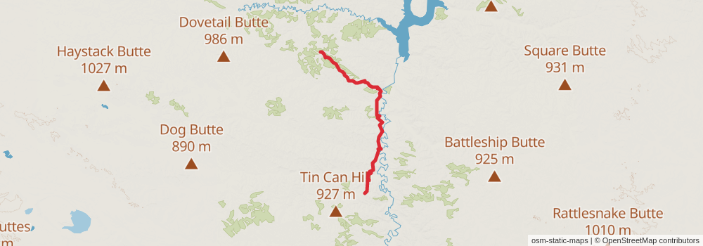
Starting at: Winnett, Petroleum County, 59087
Ending at: Winnett, Petroleum County, 59087
Distance: 32.0 km
Elevation gain: 612 m
Duration: 07:25:20
stage 28
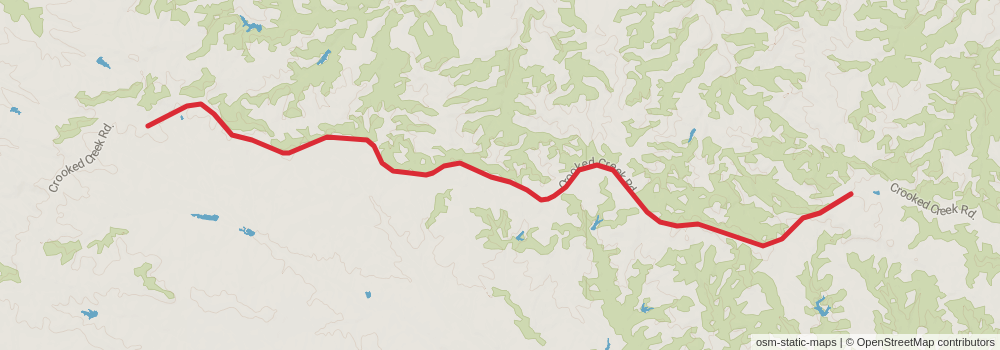
Starting at: Winnett, Petroleum County, 59087
Ending at: Winnett, Petroleum County, 59087
Distance: 10.9 km
Elevation gain: 125 m
Duration: 02:22:56
stage 29
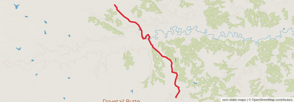
Starting at: Winnett, Petroleum County, 59087
Ending at: Winnett, Petroleum County, 59087
Distance: 12.3 km
Elevation gain: 142 m
Duration: 02:41:25
stage 30
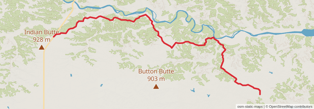
Starting at: Winnett, Petroleum County, 59087
Ending at: Roy, Fergus County, 59471
Distance: 49.9 km
Elevation gain: 681 m
Duration: 11:07:15