Youngs Creek via Lodgepole Trail trail stages
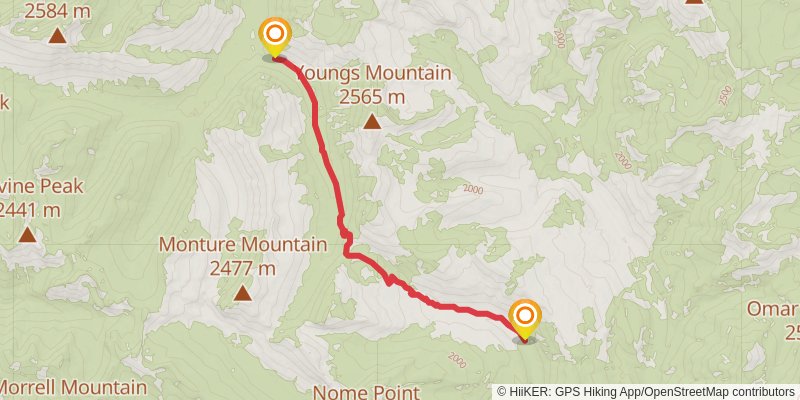
stage 1

Starting at: Powell County
Ending at: Powell County
Distance: 12.2 km
Elevation gain: 600 m
Duration: 03:26:44
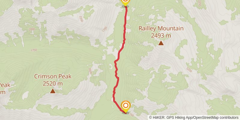
stage 2

Starting at: Powell County
Ending at: Powell County
Distance: 10.9 km
Elevation gain: 198 m
Duration: 02:31:07
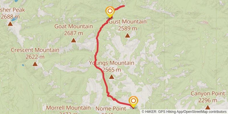
stage 4

Starting at: Powell County
Ending at: Powell County
Distance: 36.8 km
Elevation gain: 1164 m
Duration: 09:18:09
stage 3

Starting at: Powell County
Ending at: Powell County
Distance: 0 m
Elevation gain: 0 m
Duration: 00:00:00