The best hikes in Missoula County
Montana · 152 HiiKER Hikes
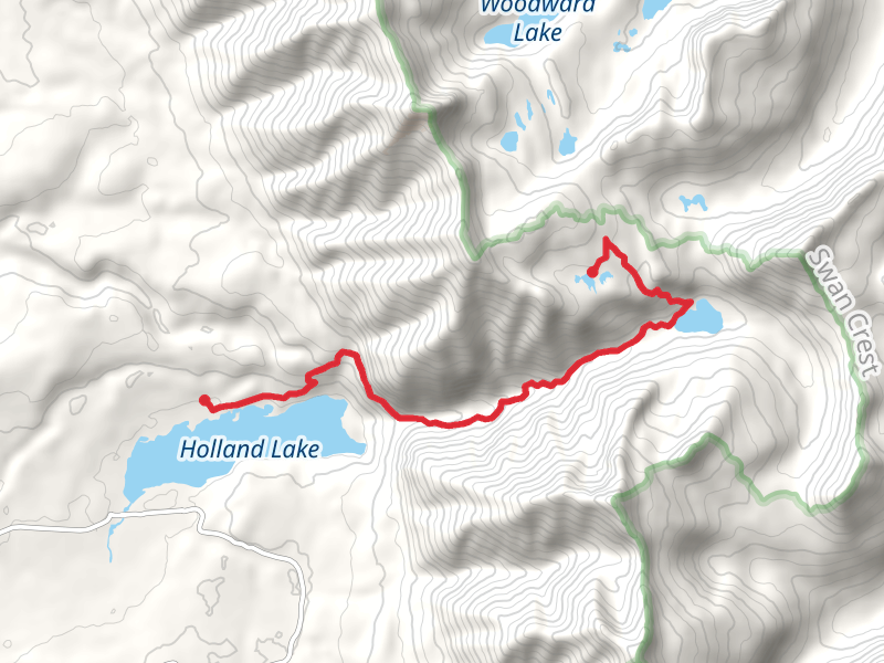
View Hikes on map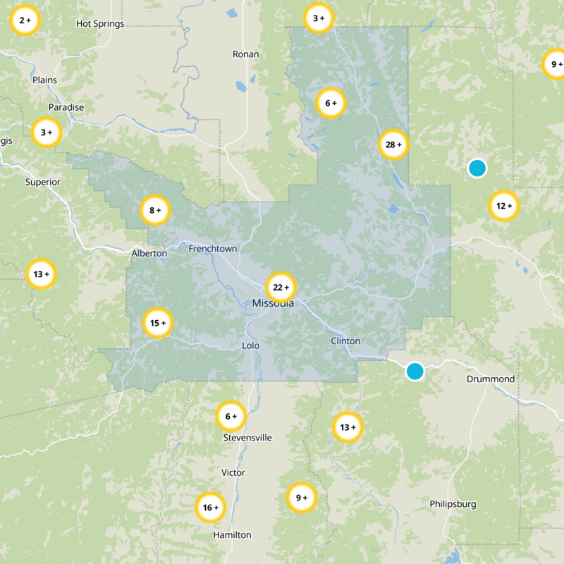
What to expect
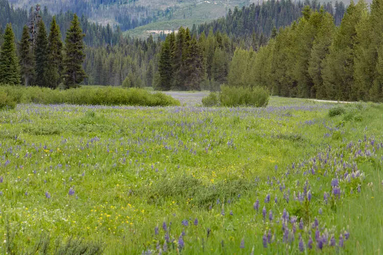
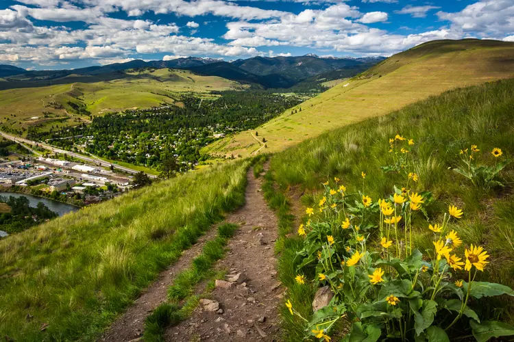
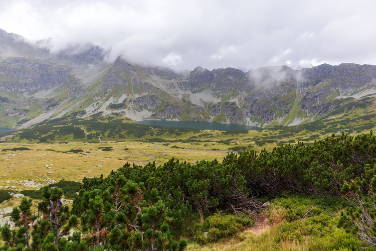
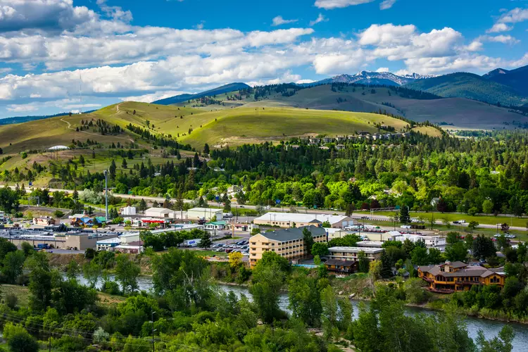
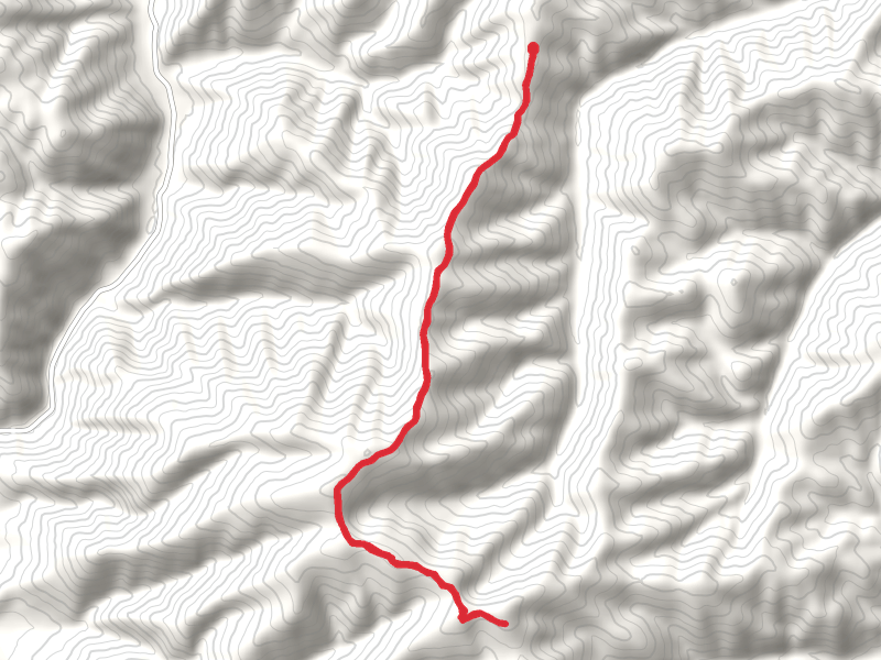
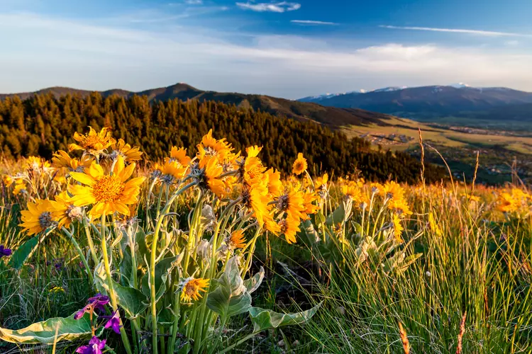
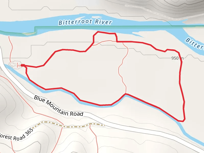
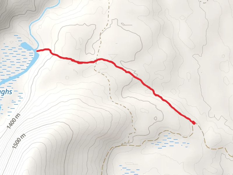
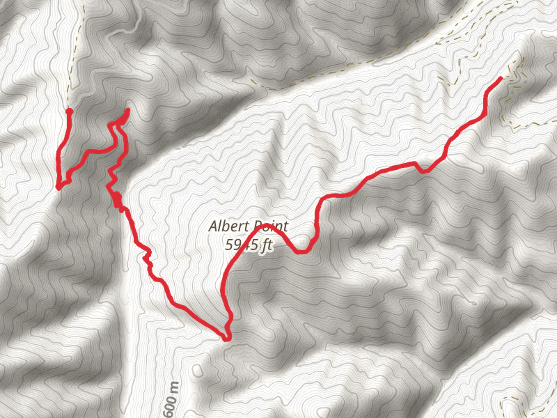
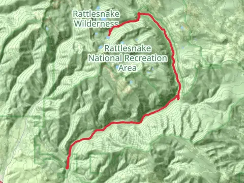
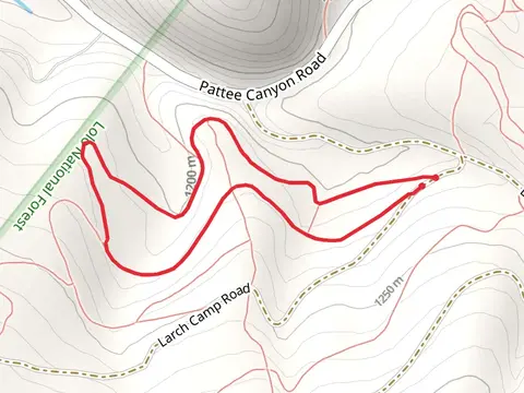
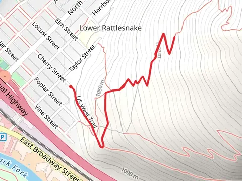
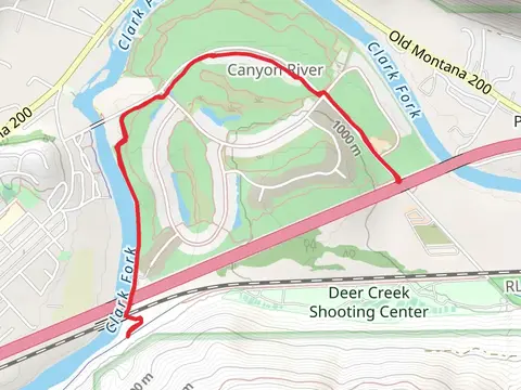
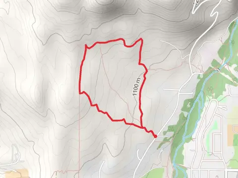
Check out some of the best hiking, walking and backpacking routes in Missoula County, Montana. The Lolo Trail is the most popular trail. The trails have 3359 user reviews with great photos and information. There are trails of various difficulty levels including easy, medium, difficult, and extra difficult. The trail with the highest elevation climb is the Holland Peak and Norms Big Peak via East Foothill and the trail with the least amount of climbing is the Frenchtown Pond and State Park Loop. The longest trail is the Lolo Trail at 59.5 km. For a shorter adventure you can try the Kiwanis Park Loop at 636 m. Get off line access to Healthcare, Fastfood, Shop, and Restaurant locations and much more with a Hiiker subscription.

Be prepared for hiking in Montana with the HiiKER app