Download
Preview
Add to list
More
59.5 km
~3 day
2013 m
Out and Back
“Embark on a scenic and historic trek along Montana's Lolo Trail, a journey through time and nature.”
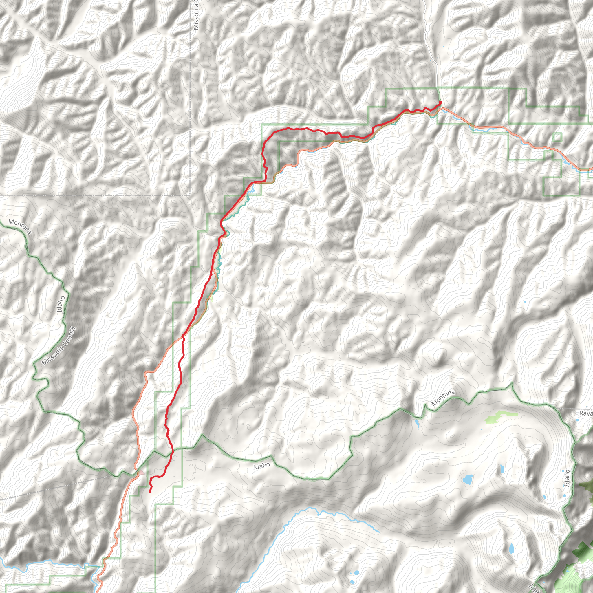
The Lolo Trail is a historic path that stretches approximately 60 kilometers (about 37 miles) and traverses an elevation gain of roughly 2000 meters (around 6560 feet). This out-and-back trail is nestled in the Bitterroot Mountains near Missoula County, Montana, and is rated as medium difficulty, making it accessible to hikers with a reasonable level of fitness.
Getting to the Trailhead
To reach the trailhead, which is situated near the Lolo Pass Visitor Center, hikers can drive along Highway 12, which connects Missoula, Montana to Lewiston, Idaho. The visitor center is a significant landmark that provides not only information but also serves as a good reference point for the start of the hike. There is no direct public transportation to the trailhead, so hikers will need to arrange for a car or a shuttle service from Missoula.
Navigating the Trail
Hikers can utilize the HiiKER app to navigate the trail, ensuring they stay on the correct path and can monitor their progress. The trail is well-marked, but due to its historical nature, some sections may be less defined, making a reliable navigation tool essential.
Historical Significance
The Lolo Trail is steeped in history, most notably used by the Nez Perce tribe and later by Lewis and Clark during their expedition. As you hike, you'll be walking in the footsteps of these early travelers, and the trail offers several interpretive signs that provide insights into the area's rich past.
Landmarks and Scenery
The journey begins with a gradual ascent through dense forests of pine and fir. Approximately 10 kilometers (6 miles) in, hikers will encounter the Glade Creek Camp, a good spot for a rest with water access. As the trail continues, it opens up to reveal sweeping views of the surrounding mountains and valleys.
Around the halfway mark, the trail reaches its highest point, where hikers can enjoy panoramic vistas. This is also where the majority of the elevation gain is concentrated, so be prepared for a strenuous climb.
Wildlife and Flora
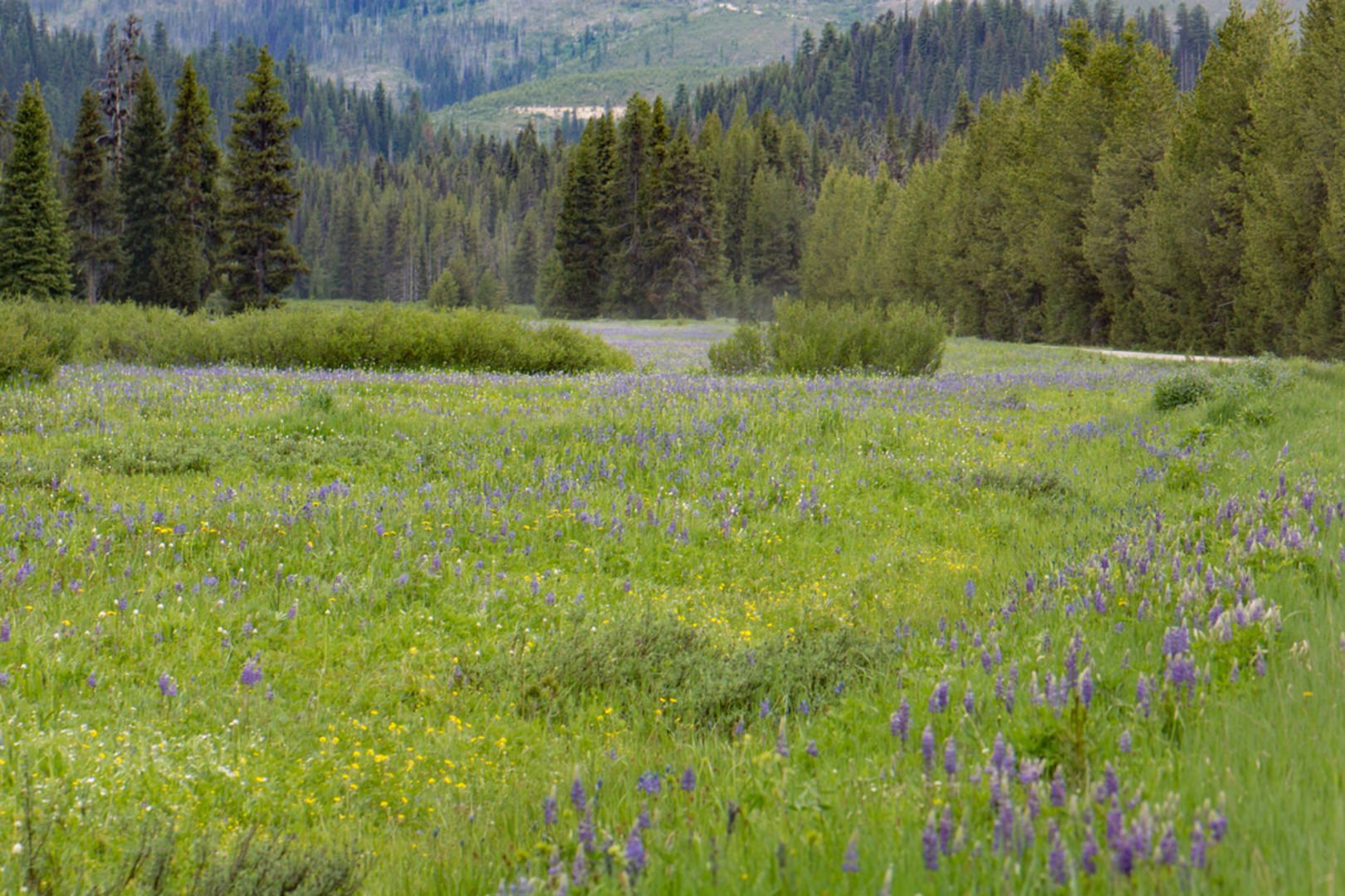
The Lolo Trail is home to an array of wildlife, including elk, deer, and black bears. Hikers should be bear-aware, carrying bear spray and knowing how to store food properly. The trail also boasts a diverse range of flora, with wildflowers such as lupine and Indian paintbrush adding splashes of color in the spring and summer months.
Seasonal Considerations
The best time to hike the Lolo Trail is from July to September when the snow has melted, and the trail is most accessible. Outside of these months, the trail can be covered in snow, making it a challenge even for experienced hikers.
Preparation and Safety
Due to the trail's length and remote nature, hikers should be well-prepared with adequate supplies, including water, food, and layers for changing weather conditions. It's also advisable to inform someone of your hiking plans and expected return time.
Conclusion
By following these guidelines and preparing accordingly, hikers can embark on a memorable journey along the Lolo Trail, experiencing both the natural beauty and historical significance of this remarkable path through the Bitterroot Mountains.
Comments and Reviews
User comments, reviews and discussions about the Lolo Trail, Montana.
4.25
average rating out of 5
12 rating(s)

