The best hikes in Carbon County
Montana · 67 HiiKER Hikes
View Hikes on map
What to expect
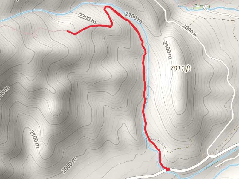
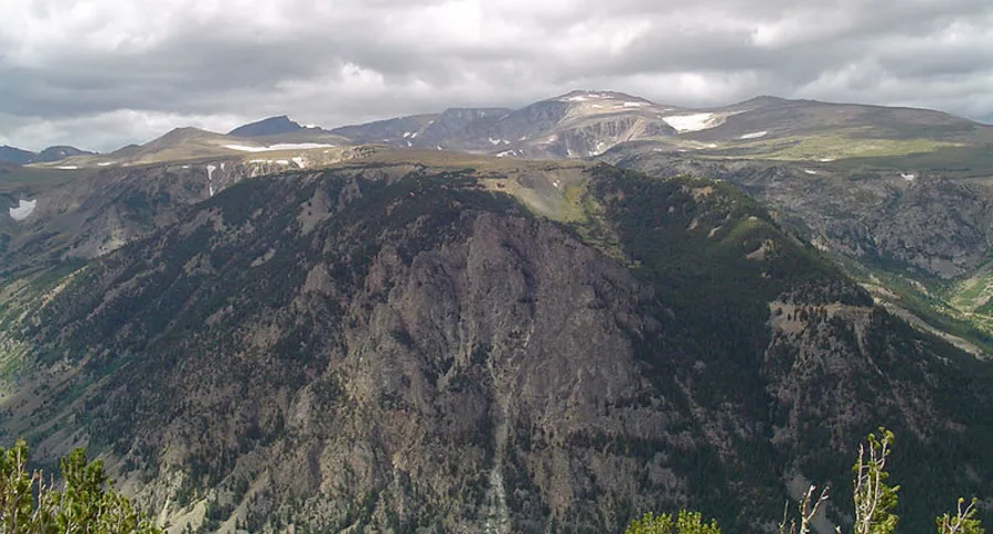
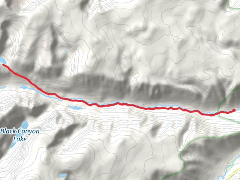
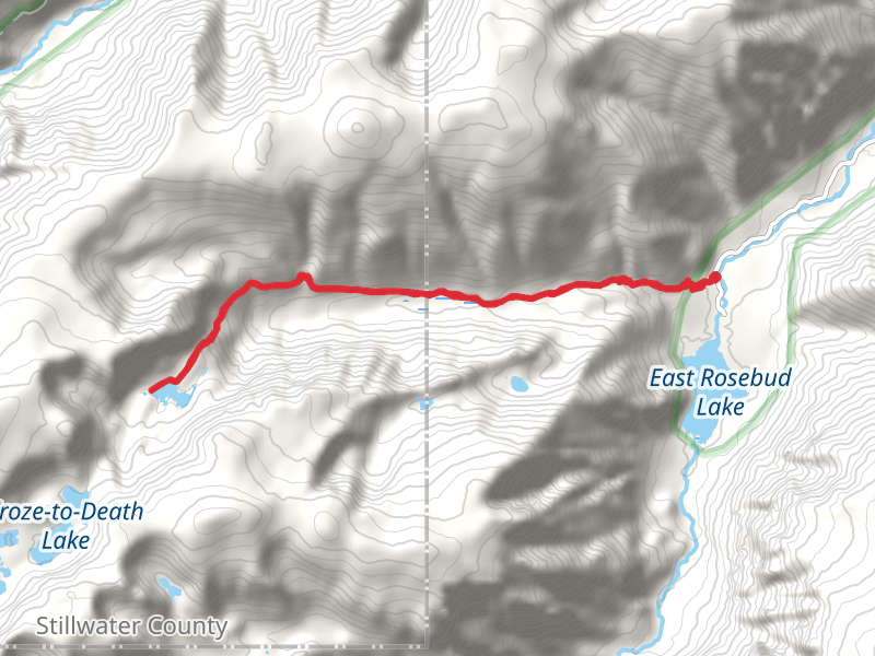
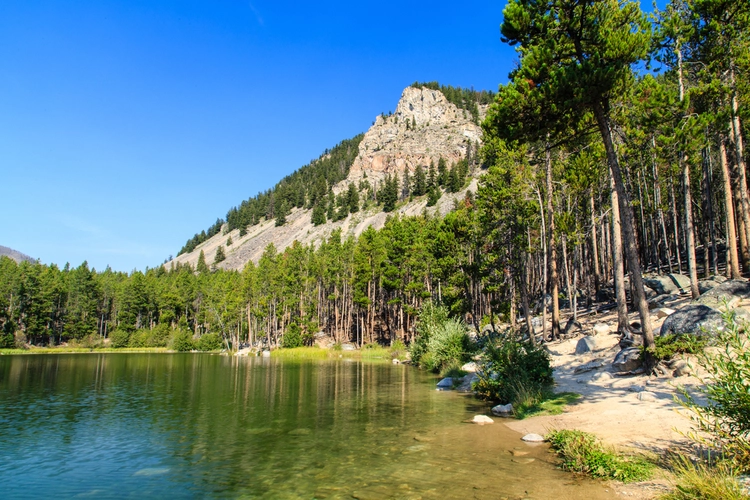
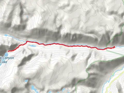
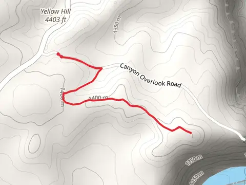
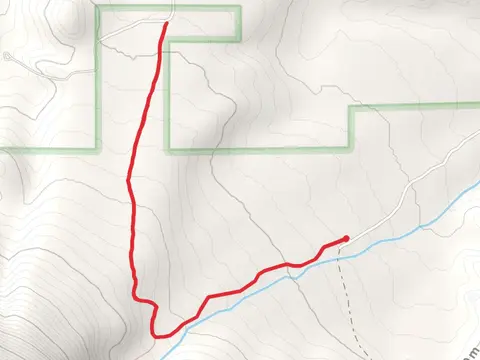
Check out some of the best hiking, walking and backpacking routes in Carbon County, Montana. The Face of the Mountain Trail is the most popular trail. The trails have 1346 user reviews with great photos and information. There are trails of various difficulty levels including easy, medium, difficult, and extra difficult. The trail with the highest elevation climb is the Lake Fork Trail and the trail with the least amount of climbing is the Hillsboro Trail. The longest trail is the East Rosebud Trail at 53.6 km. For a shorter adventure you can try the Ewing Snell Historic Ranch Site Loop at 337 m. Get off line access to Shelter, Campsite, Water, and Peak locations and much more with a Hiiker subscription.

Be prepared for hiking in Montana with the HiiKER app