The best hikes in St. Louis County
Missouri · 89 HiiKER Hikes
View Hikes on map
What to expect
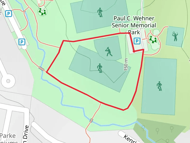
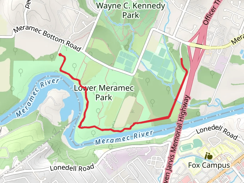
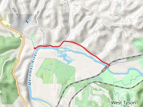
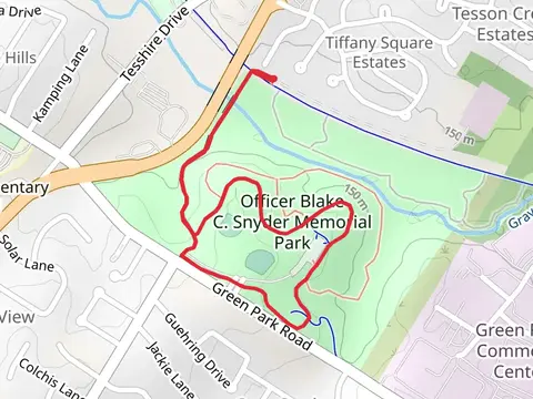
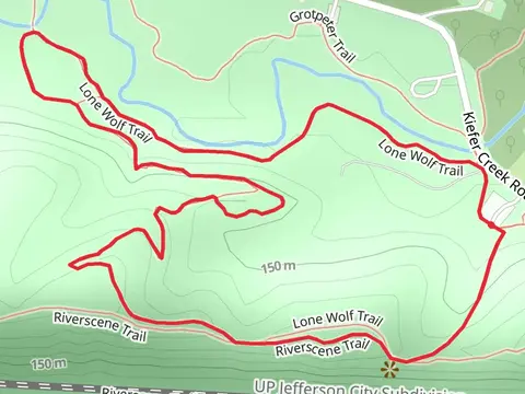
Check out some of the best hiking, walking and backpacking routes in St. Louis County, Missouri. The Paul C Wehner Senior Memorial Park Loop is the most popular trail. There are trails of various difficulty levels including easy and medium. The trail with the highest elevation climb is the DeClue, Fossil Ridge and Eagle Valley Loop Trail and the trail with the least amount of climbing is the Lower Meramec Park Loop. The longest trail is the Monarch-Chesterfield Levee Trail at 25.4 km. For a shorter adventure you can try the Paul C Wehner Senior Memorial Park Loop at 558 m. Get off line access to Town, Restaurant, Shelter, and Fastfood locations and much more with a Hiiker subscription.

Be prepared for hiking in Missouri with the HiiKER app