The best hikes in Saint Charles County
Missouri · 16 HiiKER Hikes
View Hikes on map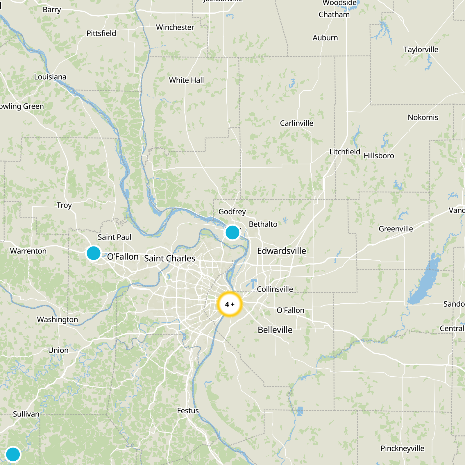

What to expect
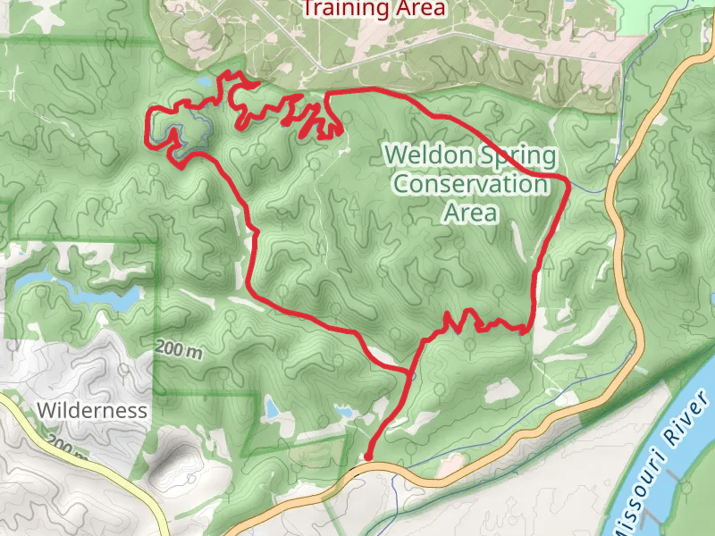
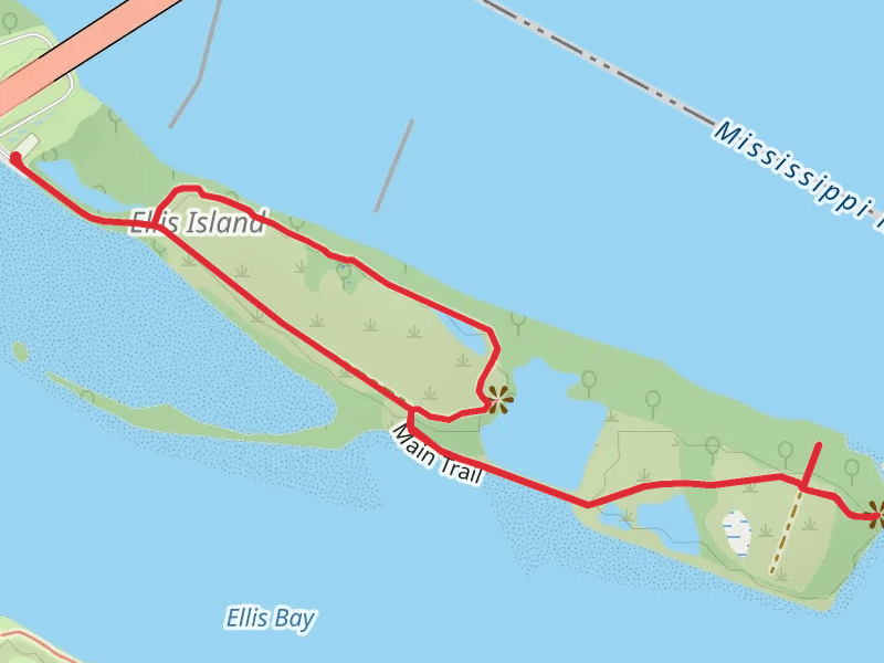
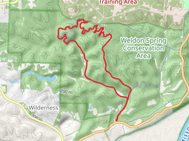
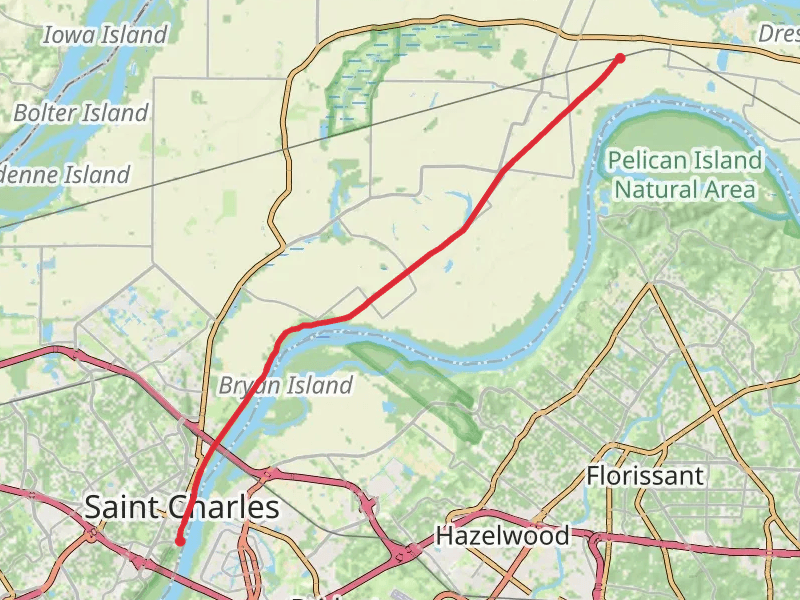
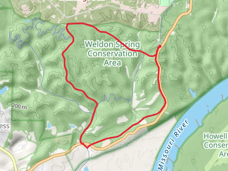
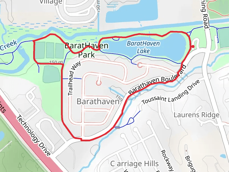
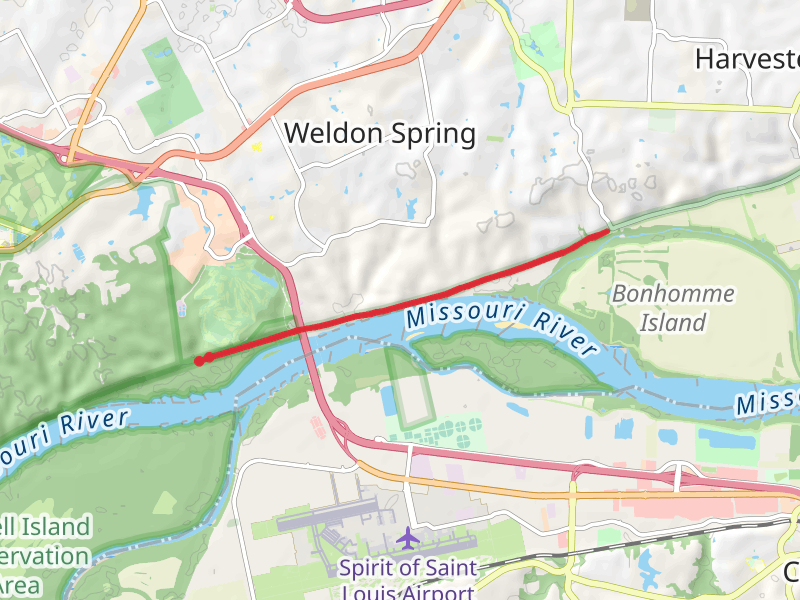
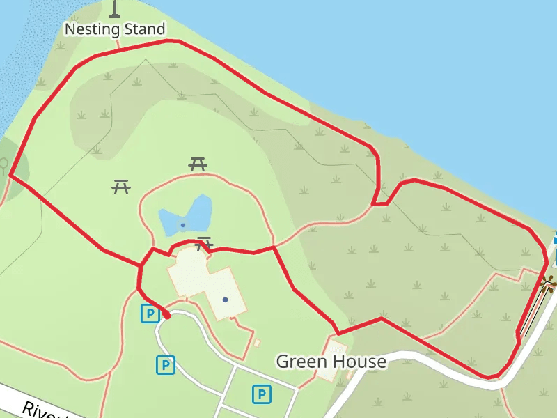
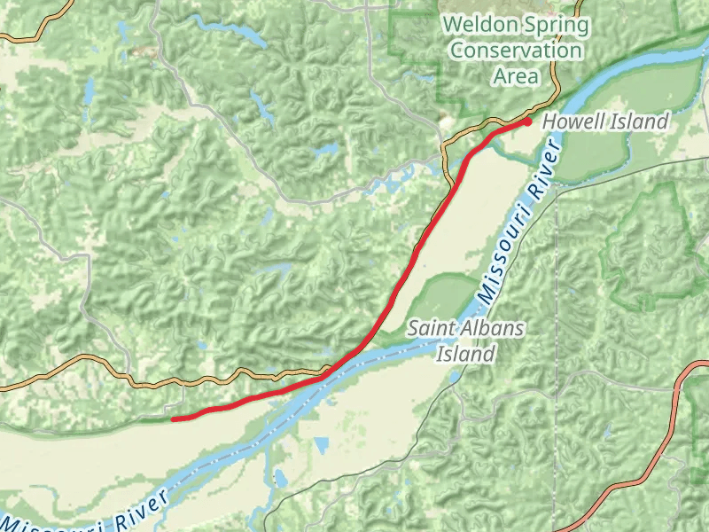
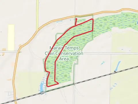
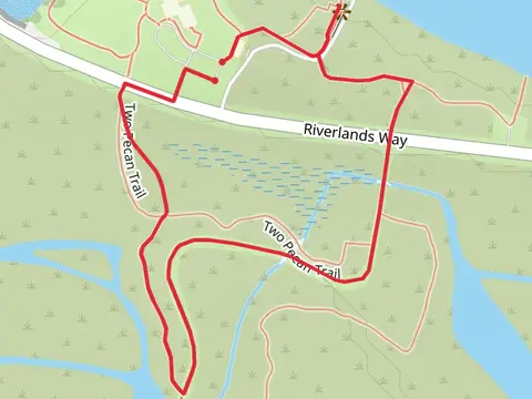
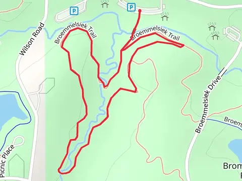
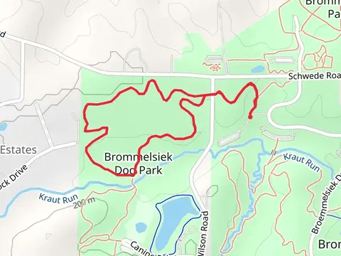
Check out some of the best hiking, walking and backpacking routes in Saint Charles County, Missouri. The Ellis Island Loop is the most popular trail. The trail with the highest elevation climb is the Lost Valley Trail Loop and the trail with the least amount of climbing is the Marais Temps Clair Conservation Area Loop. The longest trail is the Katy Trail from Missouri Route 94 at 33.5 km. For a shorter adventure you can try the Alton Slough Overlook at 1.1 km. Get off line access to Water, Healthcare, Restaurant, and Shelter locations and much more with a Hiiker subscription.

Be prepared for hiking in Missouri with the HiiKER app