The best hikes in Montgomery County
Missouri · 4 HiiKER Hikes
View Hikes on map

What to expect
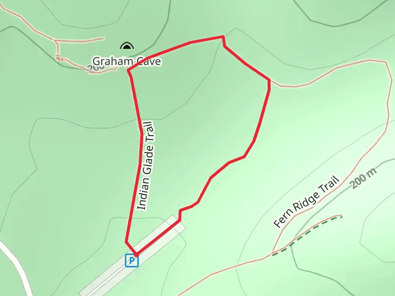
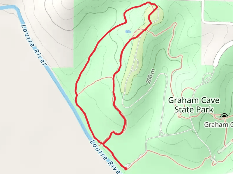
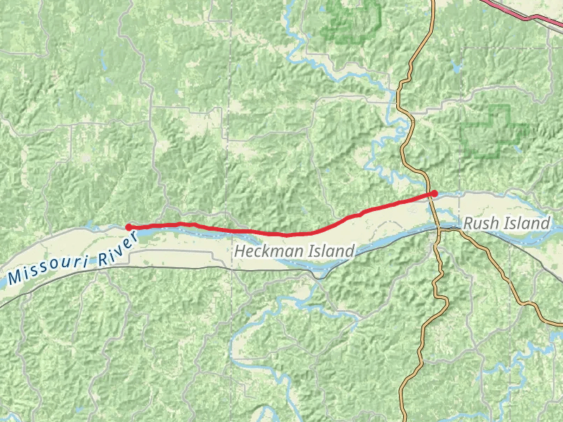
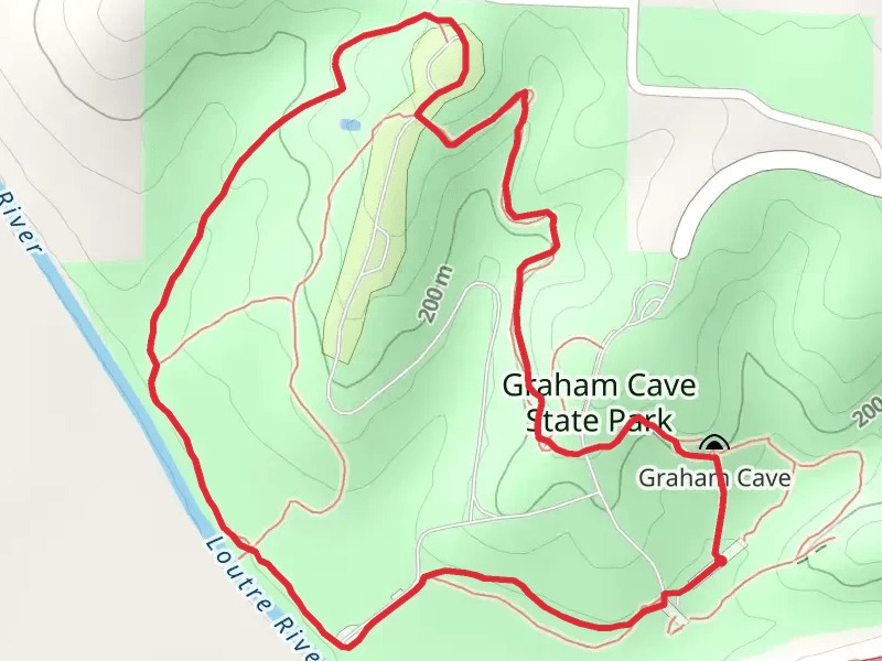
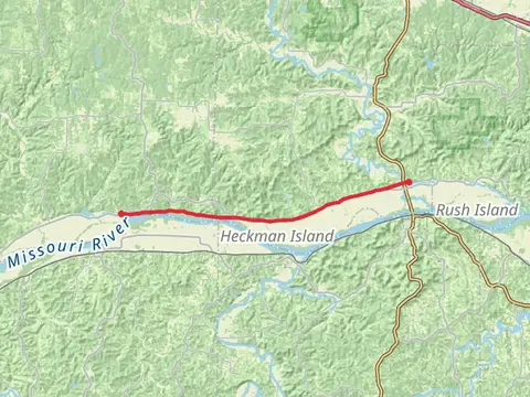
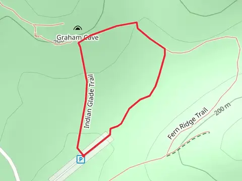
Check out some of the best hiking, walking and backpacking routes in Montgomery County, Missouri. The Indian Glade and Graham Cave Loop Trail is the most popular trail. There are trails of various difficulty levels including easy and medium. The trail with the highest elevation climb is the Loutre River Trail Loop and the trail with the least amount of climbing is the Katy Trail. The longest trail is the Katy Trail at 26.8 km. For a shorter adventure you can try the Indian Glade and Graham Cave Loop Trail at 559 m. Get off line access to Pharmacy, Town, Peak, and Campsite locations and much more with a Hiiker subscription.

Be prepared for hiking in Missouri with the HiiKER app