Download
3D Flyover
Add to list
More
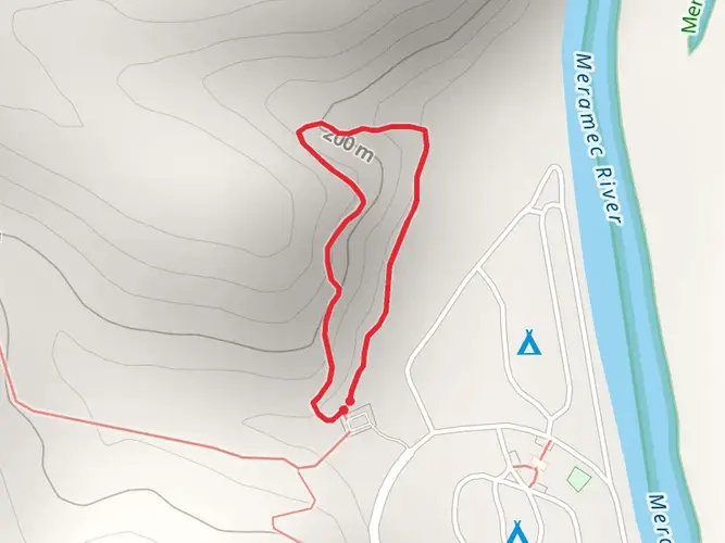
365.3 km
~14 days
5665 m
Multi-Day
“The Ozark Trail weaves through Missouri's Ozarks, blending natural splendor with historical echoes for an accessible, enriching hike.”
Spanning approximately 365 kilometers (227 miles) through the scenic Ozarks of Missouri, the Ozark Trail offers a diverse and enriching hiking experience. With an elevation gain of around 5600 meters (18,372 feet), the trail presents a medium difficulty level, making it accessible to hikers with a reasonable level of fitness and experience.
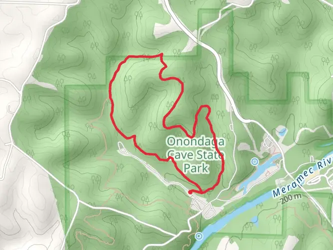
Starting near Crawford County, Missouri, the trailhead can be found close to Onondaga Cave State Park, a natural landmark known for its impressive geological formations. For those arriving by car, the park is a recognizable point to set as a destination on GPS devices. Public transport options are limited in this rural area, so hikers often opt for car rentals or shuttles from nearby cities such as St. Louis.
Navigating the Trail
As you embark on the Ozark Trail, it's essential to have a reliable navigation tool. HiiKER is a recommended app for this purpose, providing detailed maps and trail information that can be invaluable for route finding. The trail is marked, but having a digital tool can help in planning your hike and staying on track.
Natural Beauty and Landmarks
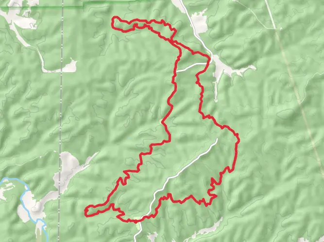
The Ozark Trail meanders through a variety of landscapes, including hardwood forests, rolling hills, and rocky bluffs. The trail is divided into several sections, each with its own unique features. One of the most picturesque segments is the Taum Sauk section, which includes the highest point in Missouri, Taum Sauk Mountain, at 540 meters (1,772 feet) above sea level. This section is roughly 56 kilometers (35 miles) long and offers stunning views, especially from Mina Sauk Falls, which is particularly impressive after heavy rains.
Another notable section is the Courtois Creek section, where hikers can enjoy the clear waters of the creek and the chance to spot local wildlife. The trail also passes through the Mark Twain National Forest, which provides a habitat for a wide array of animals, including white-tailed deer, wild turkeys, and even black bears.
Historical Significance
The Ozarks region is rich in history, with the trail itself crossing paths with remnants of old settlements, mills, and mines. The area was once home to Native American tribes, and later, European settlers who sought the natural resources of the forests and rivers. Hikers will find historical markers and interpretive signs along the trail that offer insights into the past lives of those who inhabited these lands.
Preparation and Safety
Before setting out, hikers should prepare for variable weather conditions and pack accordingly. The trail offers a mix of primitive campsites and more developed areas for overnight stays. Water sources are available but should be treated before consumption. It's also wise to inform someone of your hiking plans and expected return, as cell service can be spotty in remote sections of the trail.
Access and Transportation
To reach the trailhead near Onondaga Cave State Park, drivers can navigate to 7556 Highway H, Leasburg, MO 65535, which is the closest address to the starting point. For those relying on public transportation, the nearest major bus and train stations are in St. Louis, where you can arrange for a shuttle service or car rental to reach the trailhead.
The Ozark Trail offers a rewarding experience for those seeking adventure amidst the natural beauty of Missouri. With its rich history, diverse ecosystems, and well-marked paths, it's a trail that calls to be explored.

What to expect?
Activity types
Comments and Reviews
User comments, reviews and discussions about the Ozark Trail, Missouri.
4.5
average rating out of 5
18 rating(s)