The best hikes in Clay County
Missouri · 28 HiiKER Hikes
View Hikes on map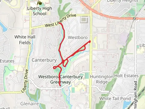
What to expect
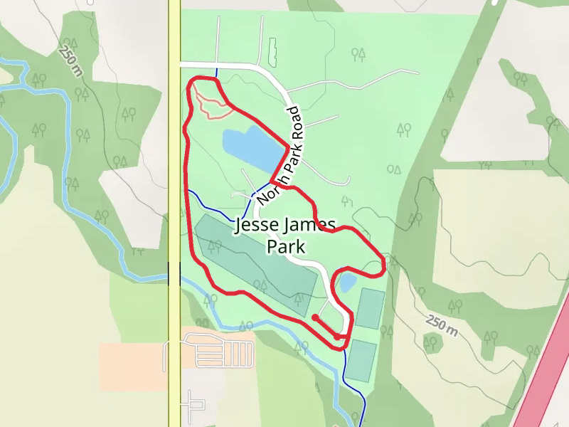
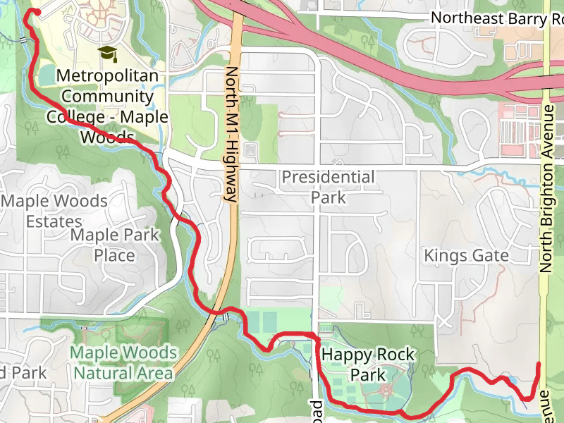
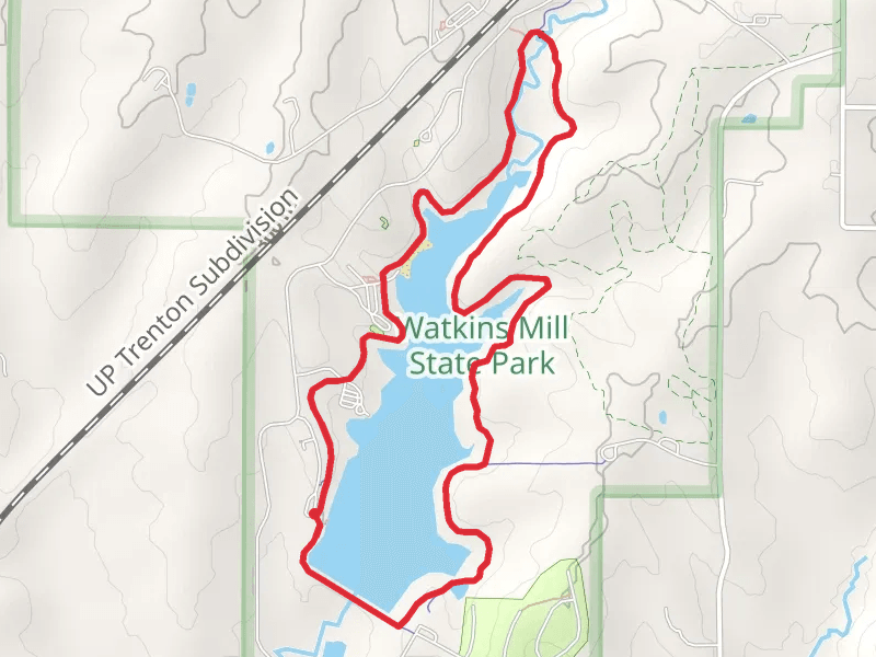
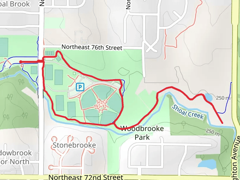
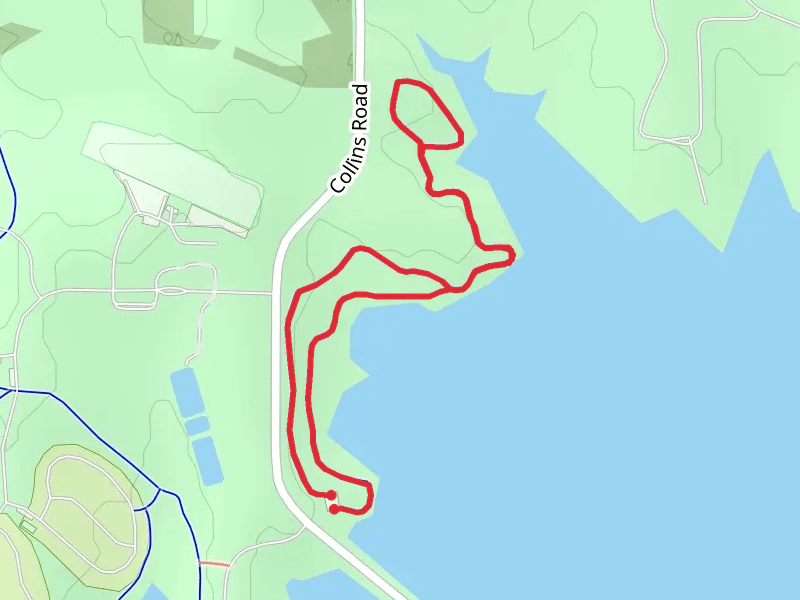
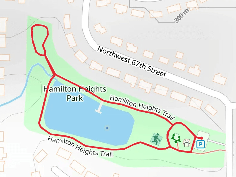
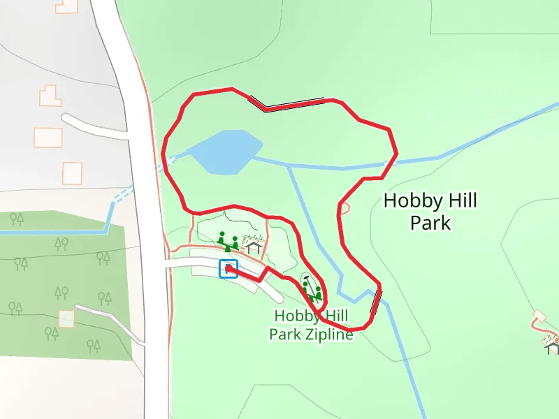
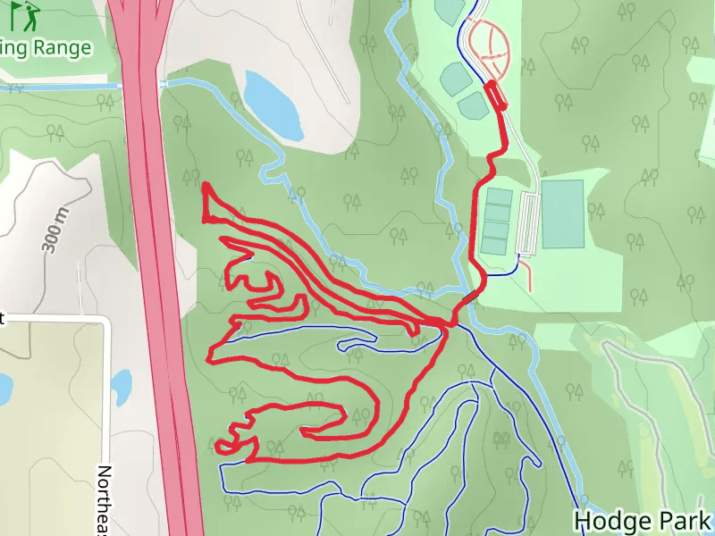
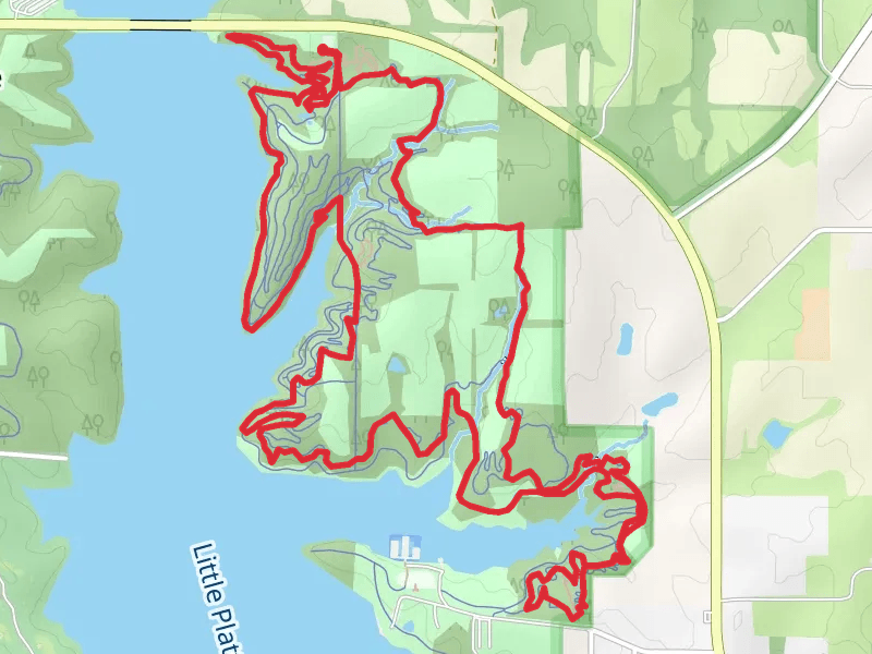
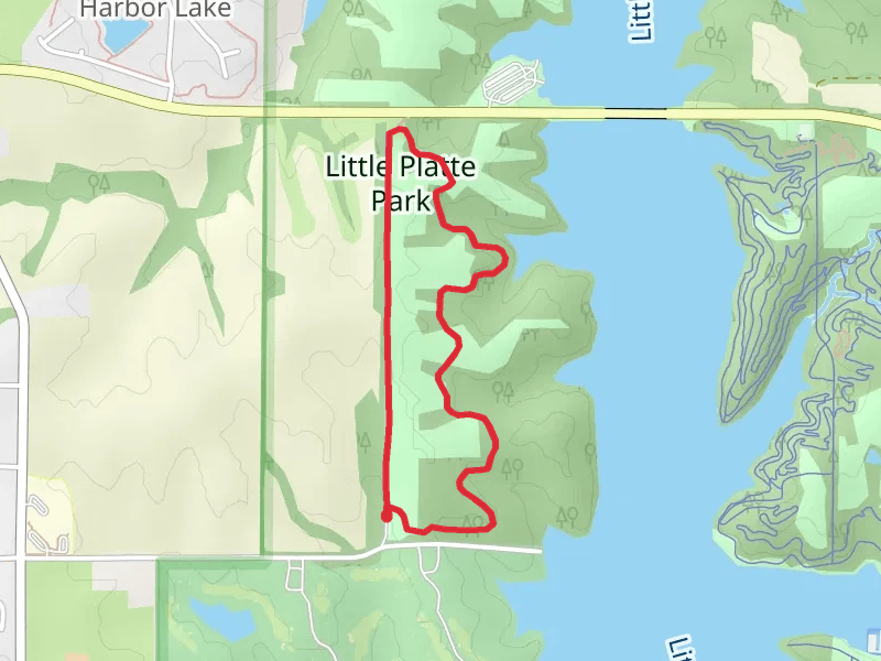
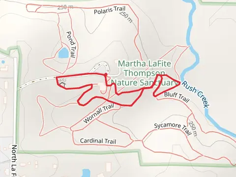
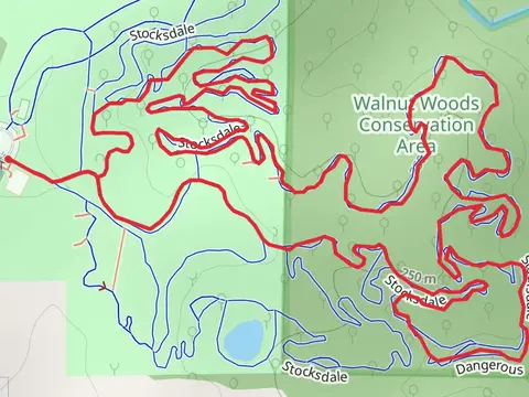
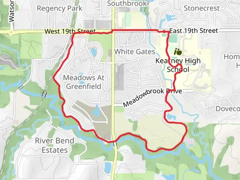
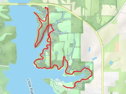
Check out some of the best hiking, walking and backpacking routes in Clay County, Missouri. The Hamilton Heights Park Loop is the most popular trail. There are trails of various difficulty levels including easy and medium. The trail with the highest elevation climb is the Oak Grove Pond Loop and the trail with the least amount of climbing is the Cooley Lake. The longest trail is the Cabin Fever Trail at 28.0 km. For a shorter adventure you can try the Hobby Hill Park Loop at 725 m. Get off line access to Town, Restaurant, Shelter, and Fastfood locations and much more with a Hiiker subscription.

Be prepared for hiking in Missouri with the HiiKER app