The best hikes in Camden County
Missouri · 14 HiiKER Hikes
View Hikes on map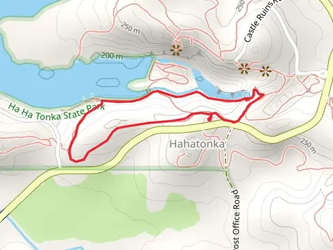

What to expect
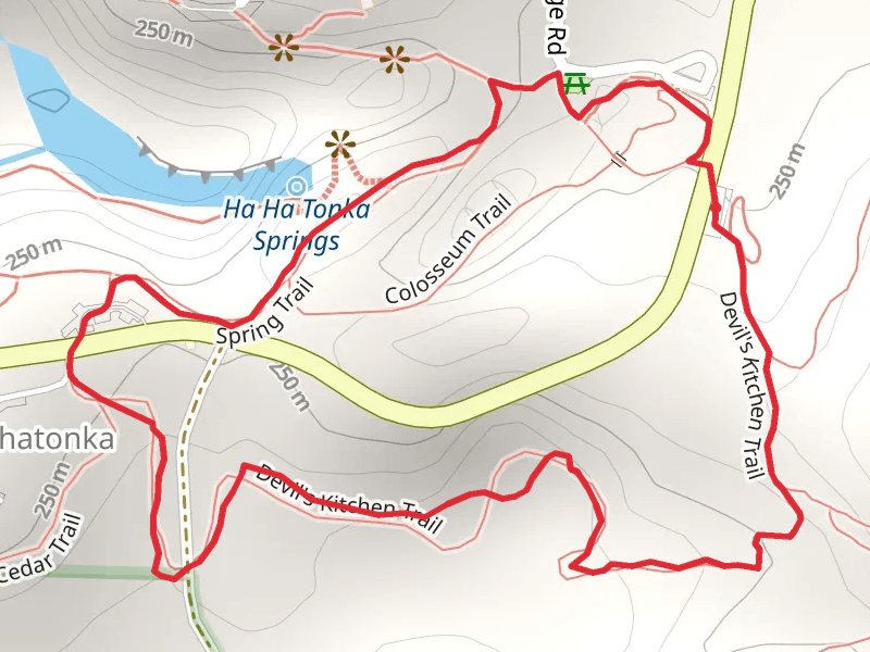
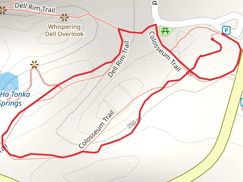
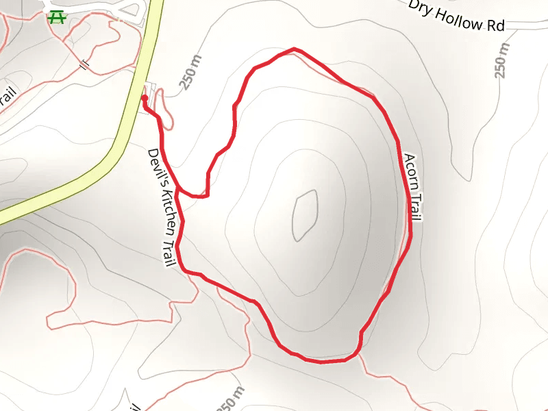
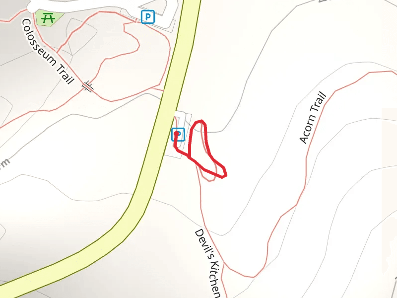
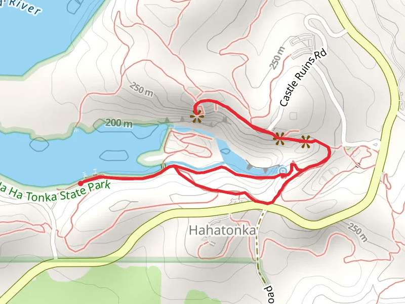
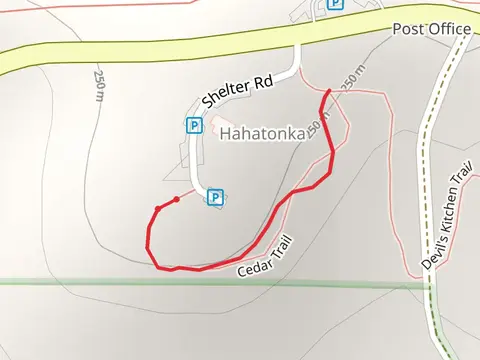
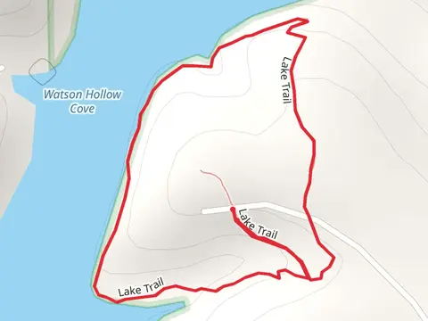
Check out some of the best hiking, walking and backpacking routes in Camden County, Missouri. The Devil's Kitchen Loop Trail is the most popular trail. There are trails of various difficulty levels including easy and medium. The trail with the highest elevation climb is the Turkey Pen Hollow Loop Trail and the trail with the least amount of climbing is the Shady Ridge Trail. The longest trail is the Bittersweet Loop Trail at 11.9 km. For a shorter adventure you can try the Oak Woodland Interpretive Trail at 202 m. Get off line access to History, Water, Viewpoint, and Shelter locations and much more with a Hiiker subscription.

Be prepared for hiking in Missouri with the HiiKER app