The best hikes in Buchanan County
Missouri · 5 HiiKER Hikes
View Hikes on map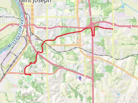

What to expect
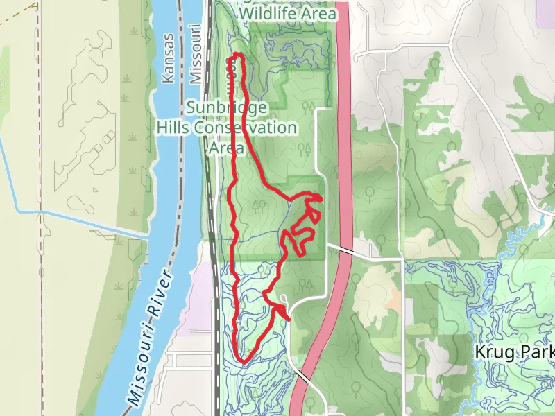
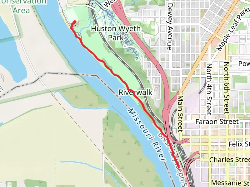
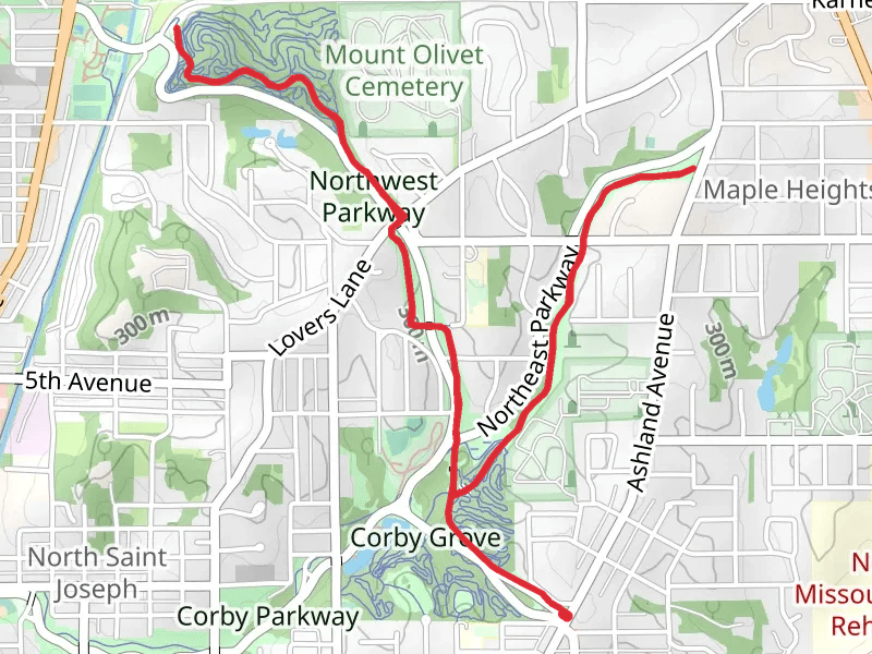
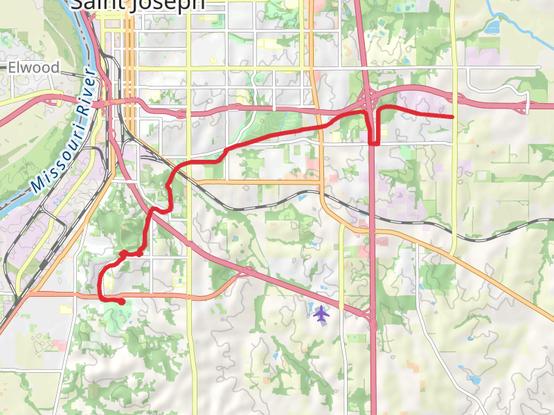
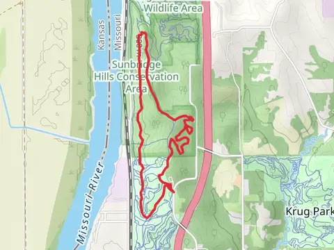
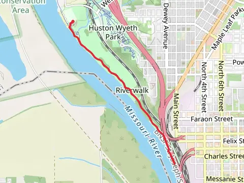
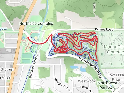
Check out some of the best hiking, walking and backpacking routes in Buchanan County, Missouri. The Northwest Parkway Loop is the most popular trail. The trail with the highest elevation climb is the Sunbridge Hills Conservation Area Loop and the trail with the least amount of climbing is the Roys Branch and Missouri River Walk. The longest trail is the Southwest Parkway at 25.2 km. For a shorter adventure you can try the Roys Branch and Missouri River Walk at 4.6 km. Get off line access to Restaurant, Pharmacy, Shelter, and Fastfood locations and much more with a Hiiker subscription.

Be prepared for hiking in Missouri with the HiiKER app