The best hikes in Manistee County
Michigan · 21 HiiKER Hikes
View Hikes on map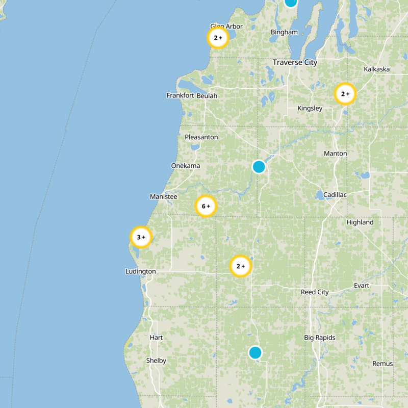

What to expect
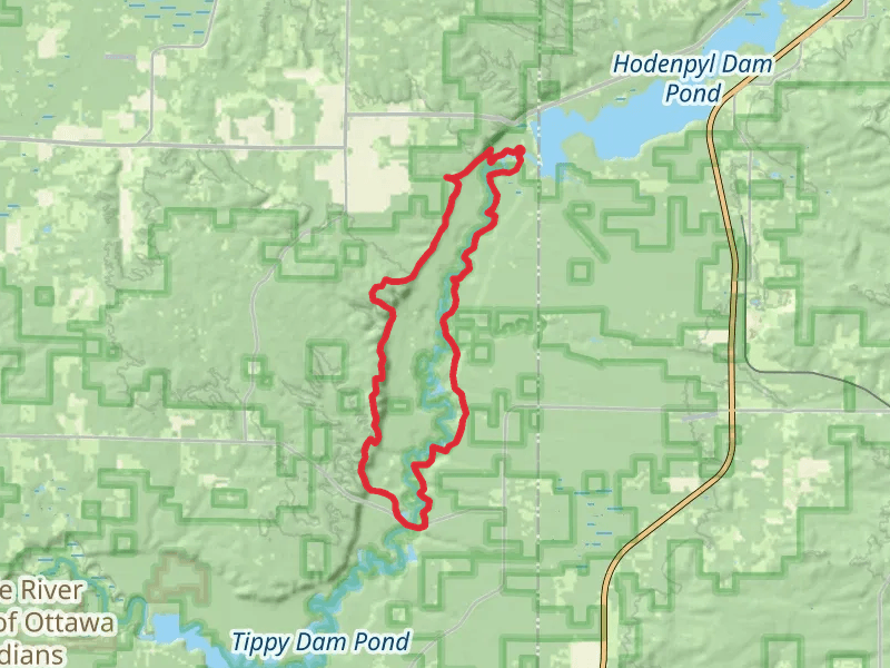
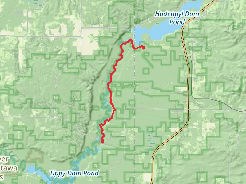
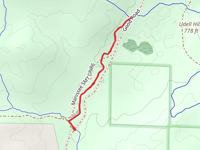
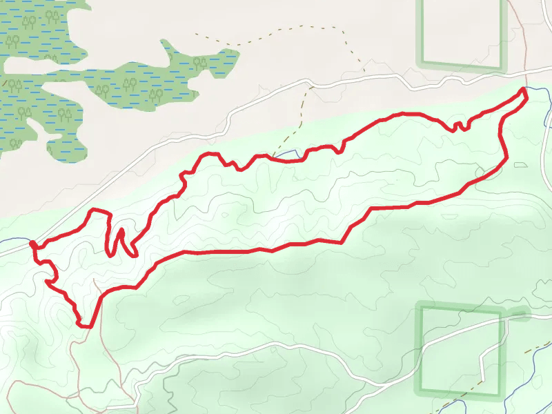
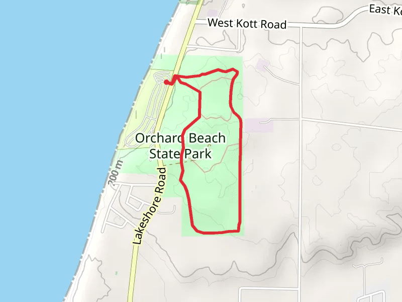
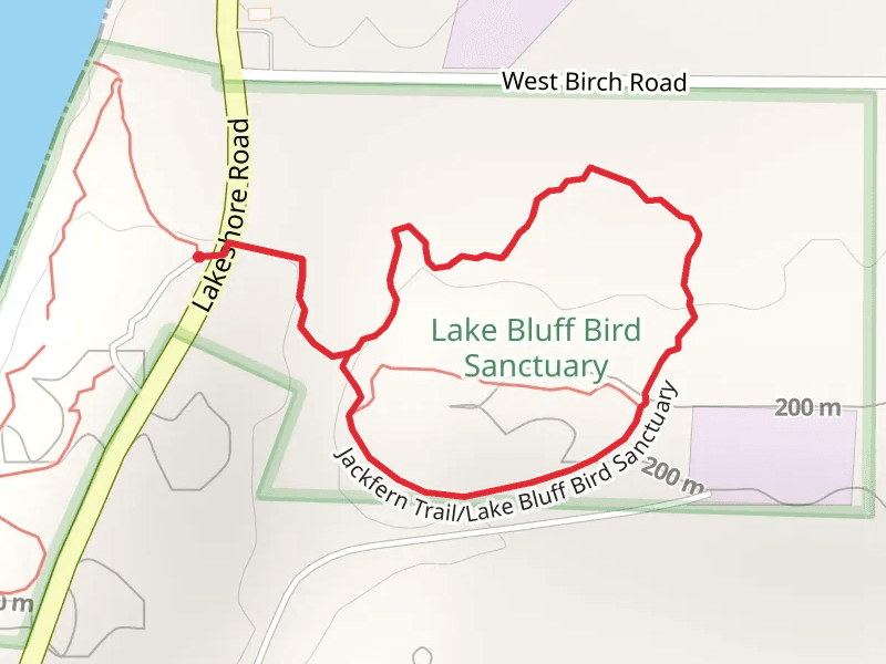
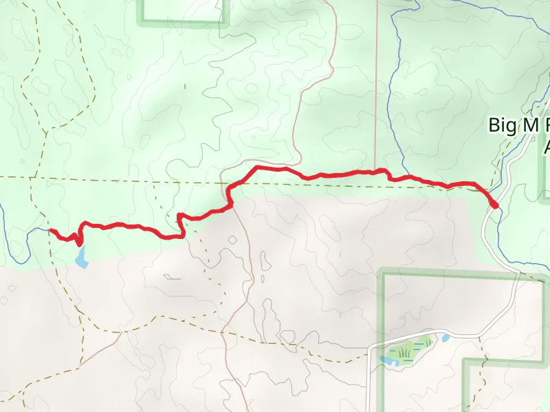
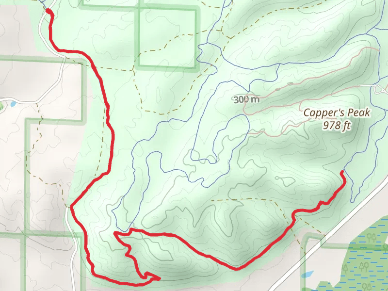
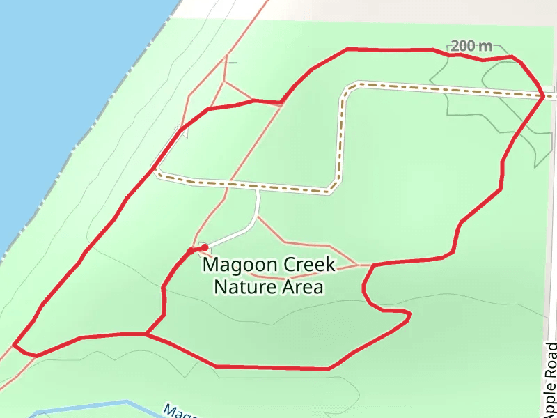
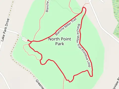
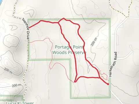
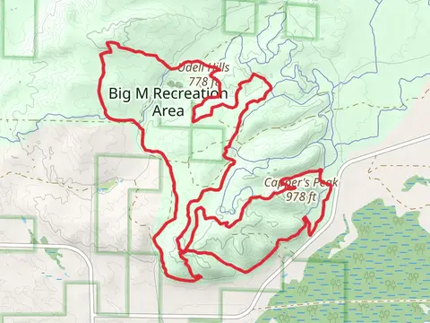
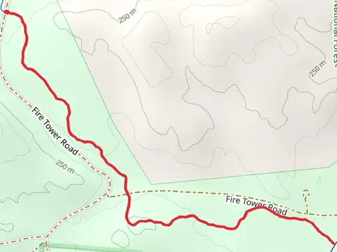
Check out some of the best hiking, walking and backpacking routes in Manistee County, Michigan. The Big M - Cheat Stick Trail is the most popular trail. There are trails of various difficulty levels including easy and medium. The trail with the highest elevation climb is the Manistee River Loop and the trail with the least amount of climbing is the Bowens Creek. The longest trail is the Hodenpyl Dam Pond via North Country National Scenic Trail at 30.8 km. For a shorter adventure you can try the Blanche Miller Loop Trail at 1.0 km. Get off line access to Water, Viewpoint, Campsite, and History locations and much more with a Hiiker subscription.

Be prepared for hiking in Michigan with the HiiKER app