The best hikes in Suffolk County
Massachusetts · 17 HiiKER Hikes
View Hikes on map
What to expect
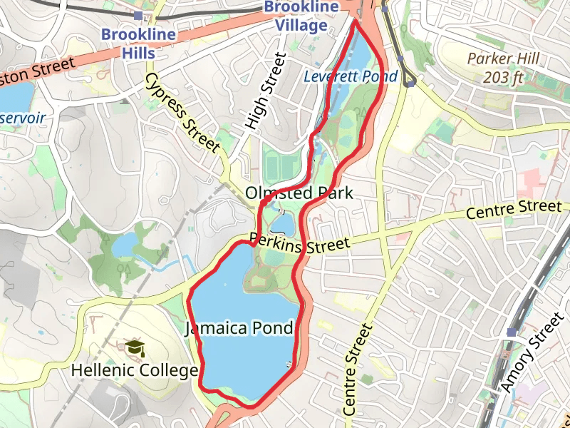
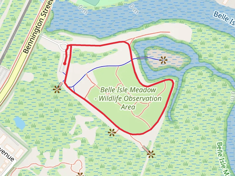
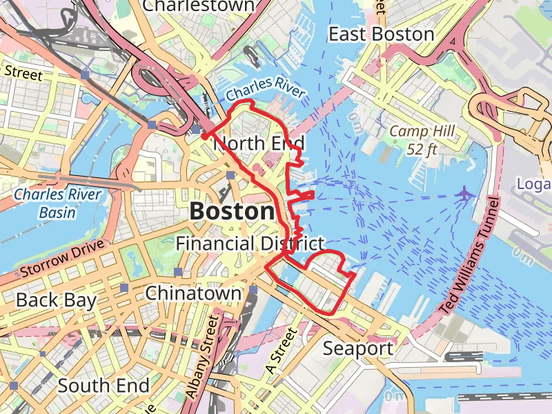
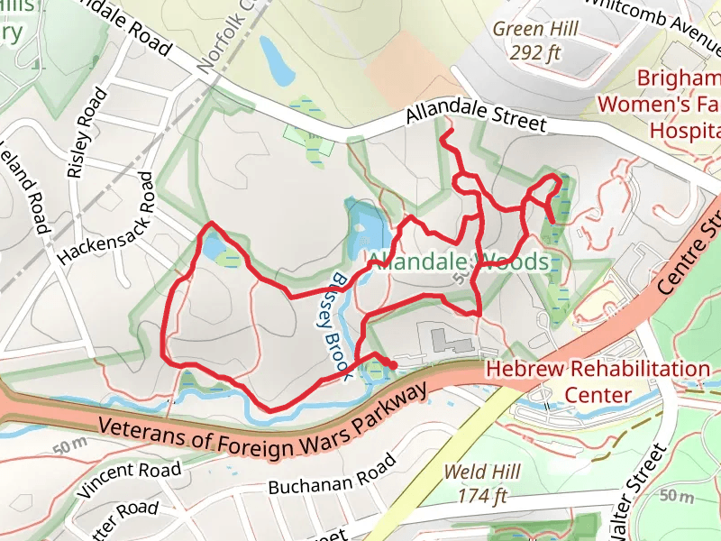
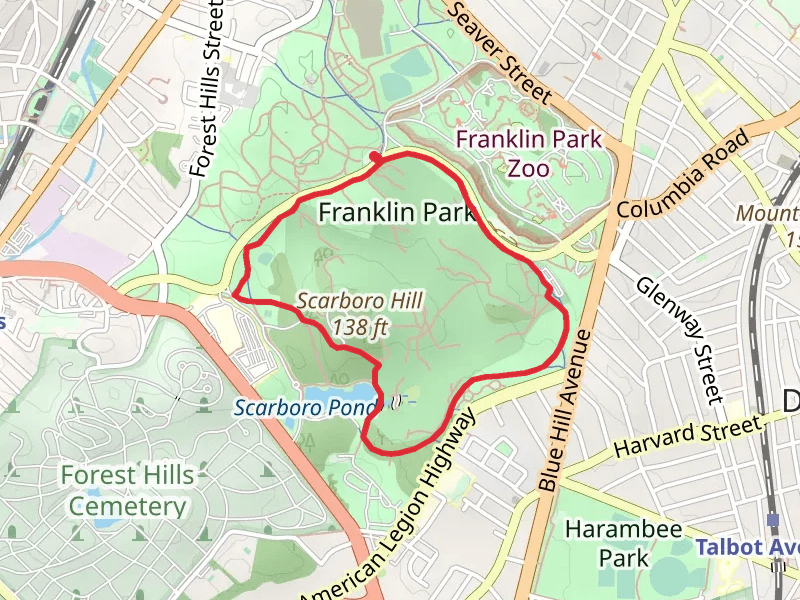
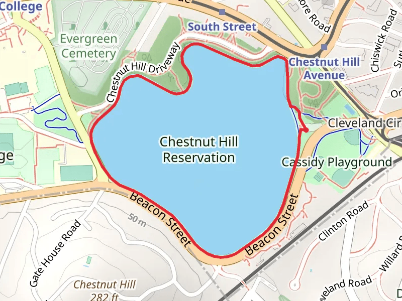
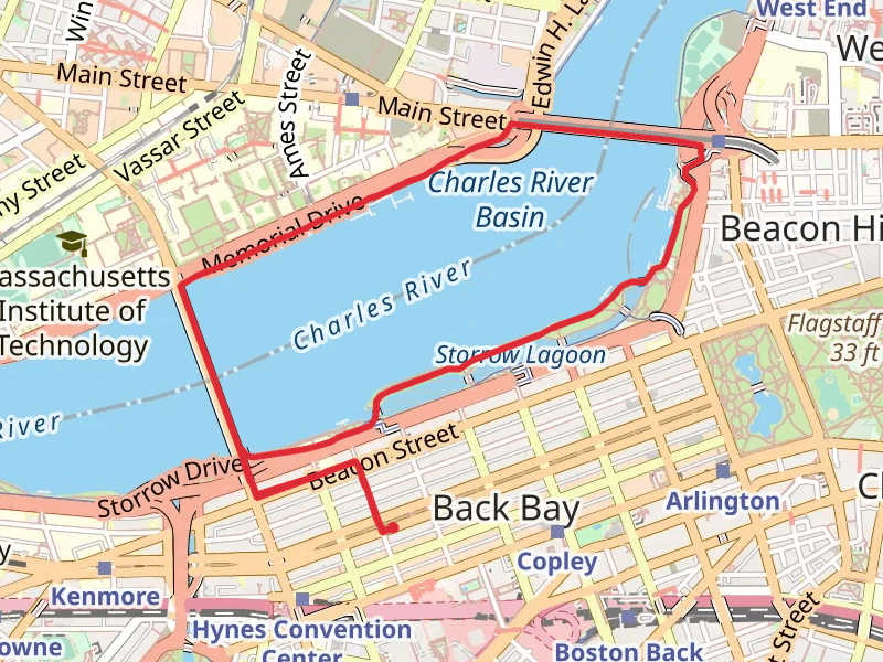
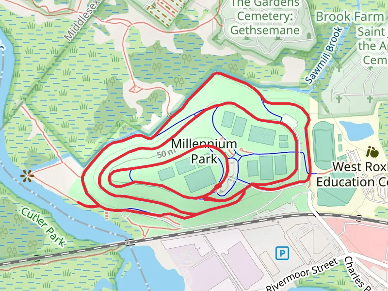
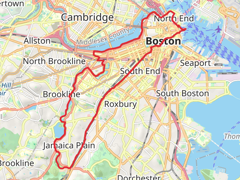
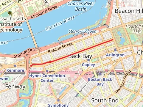
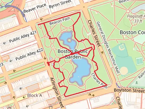
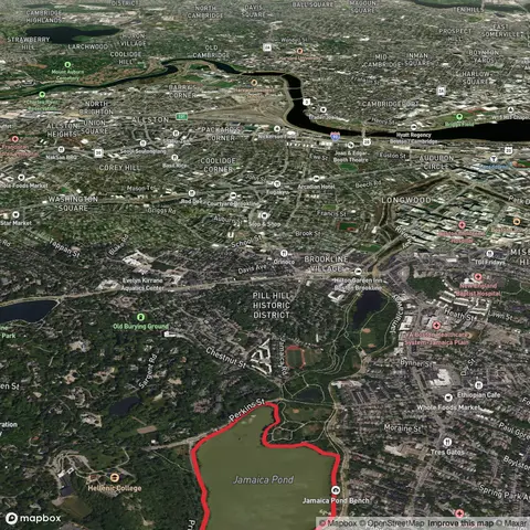
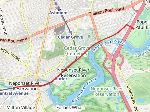
Check out some of the best hiking, walking and backpacking routes in Suffolk County, Massachusetts. The Freedom Trail is the most popular trail. The trails have 7 user reviews with great photos and information. There are trails of various difficulty levels including easy and medium. The trail with the highest elevation climb is the Rose Kennedy Greenway and the trail with the least amount of climbing is the Belle Isle Inlet Loop. The longest trail is the Charles River - Jamaica Pond - Bussey Hill - Mystic River Loop at 26.1 km. For a shorter adventure you can try the Belle Isle Inlet Loop at 1.1 km. Get off line access to Shop, Bus Stop, Fastfood, and Restaurant locations and much more with a Hiiker subscription.

Be prepared for hiking in Massachusetts with the HiiKER app