The best hikes in Hampshire County
Massachusetts · 130 HiiKER Hikes
View Hikes on map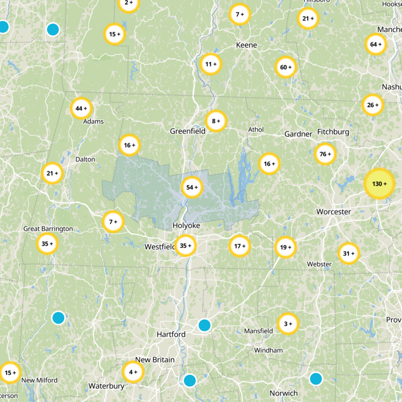
What to expect
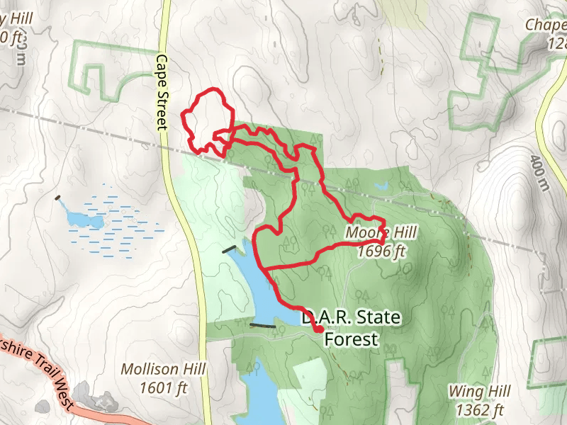
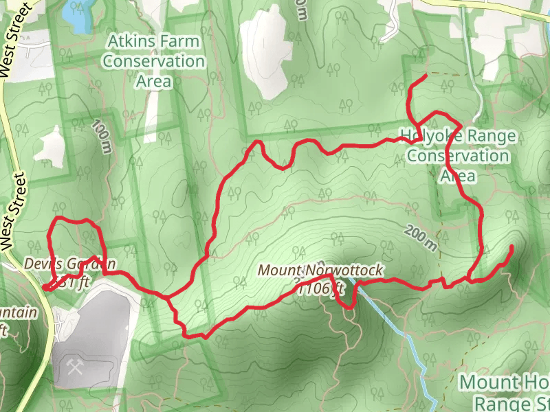
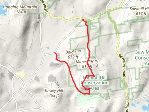
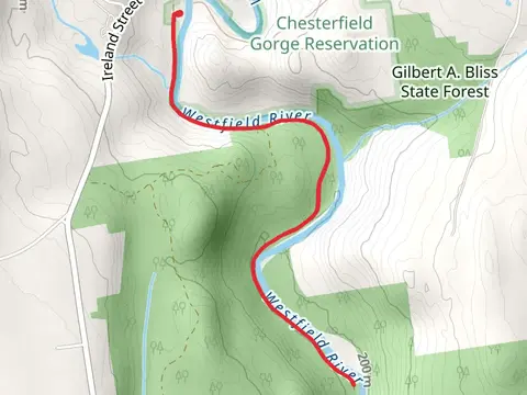
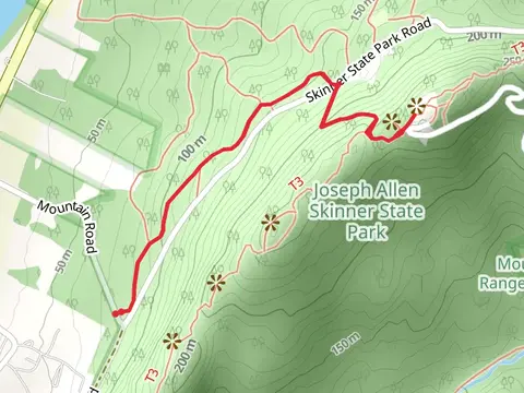
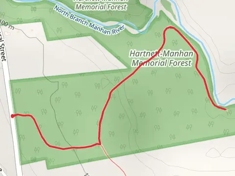
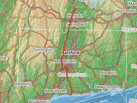
Check out some of the best hiking, walking and backpacking routes in Hampshire County, Massachusetts. The Robert Frost Trail is the most popular trail. The trails have 1989 user reviews with great photos and information. There are trails of various difficulty levels including easy, medium, difficult, and extra difficult. The trail with the highest elevation climb is the Moore Hill in DAR State Forest Loop and the trail with the least amount of climbing is the River to Range Trail. The longest trail is the Easthampton to Guilford Trail at 207.1 km. For a shorter adventure you can try the Glendale Brook Trail via Clark Wright Road at 514 m. Get off line access to Restaurant, Town, Peak, and Viewpoint locations and much more with a Hiiker subscription.

Be prepared for hiking in Massachusetts with the HiiKER app