The best hikes in Barnstable County
Massachusetts · 154 HiiKER Hikes
View Hikes on map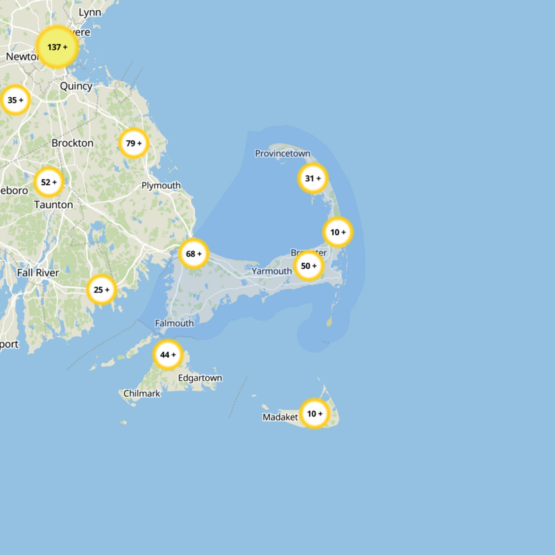
What to expect
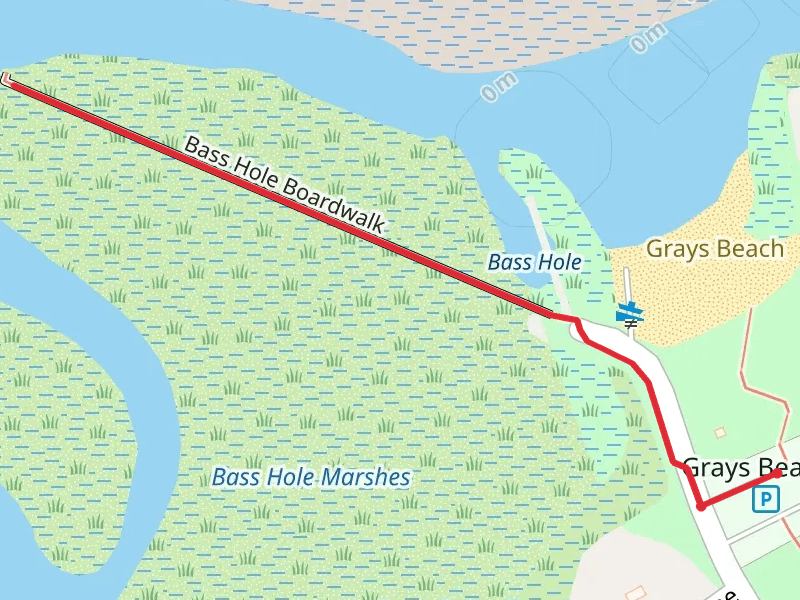
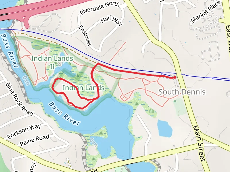
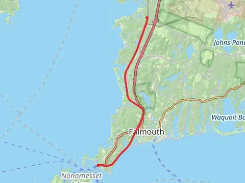
Check out some of the best hiking, walking and backpacking routes in Barnstable County, Massachusetts. The Cape Cod Rail Trail is the most popular trail. The trails have 6 user reviews with great photos and information. There are trails of various difficulty levels including easy and medium. The trail with the highest elevation climb is the Deer Horn Hill Loop Trail and the trail with the least amount of climbing is the Flat Pond Marshes. The longest trail is the Cape Cod Rail Trail at 40.4 km. For a shorter adventure you can try the Meadow Bog Pond Headlands Cr Loop at 510 m. Get off line access to Fastfood, Shelter, History, and Restaurant locations and much more with a Hiiker subscription.

Be prepared for hiking in Massachusetts with the HiiKER app