The best hikes in McCreary County
Kentucky · 26 HiiKER Hikes
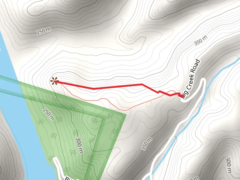
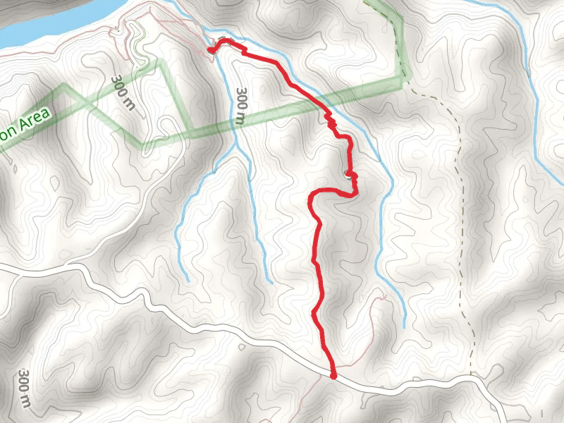
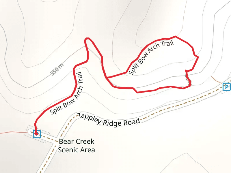
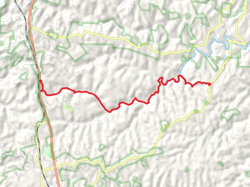
View Hikes on map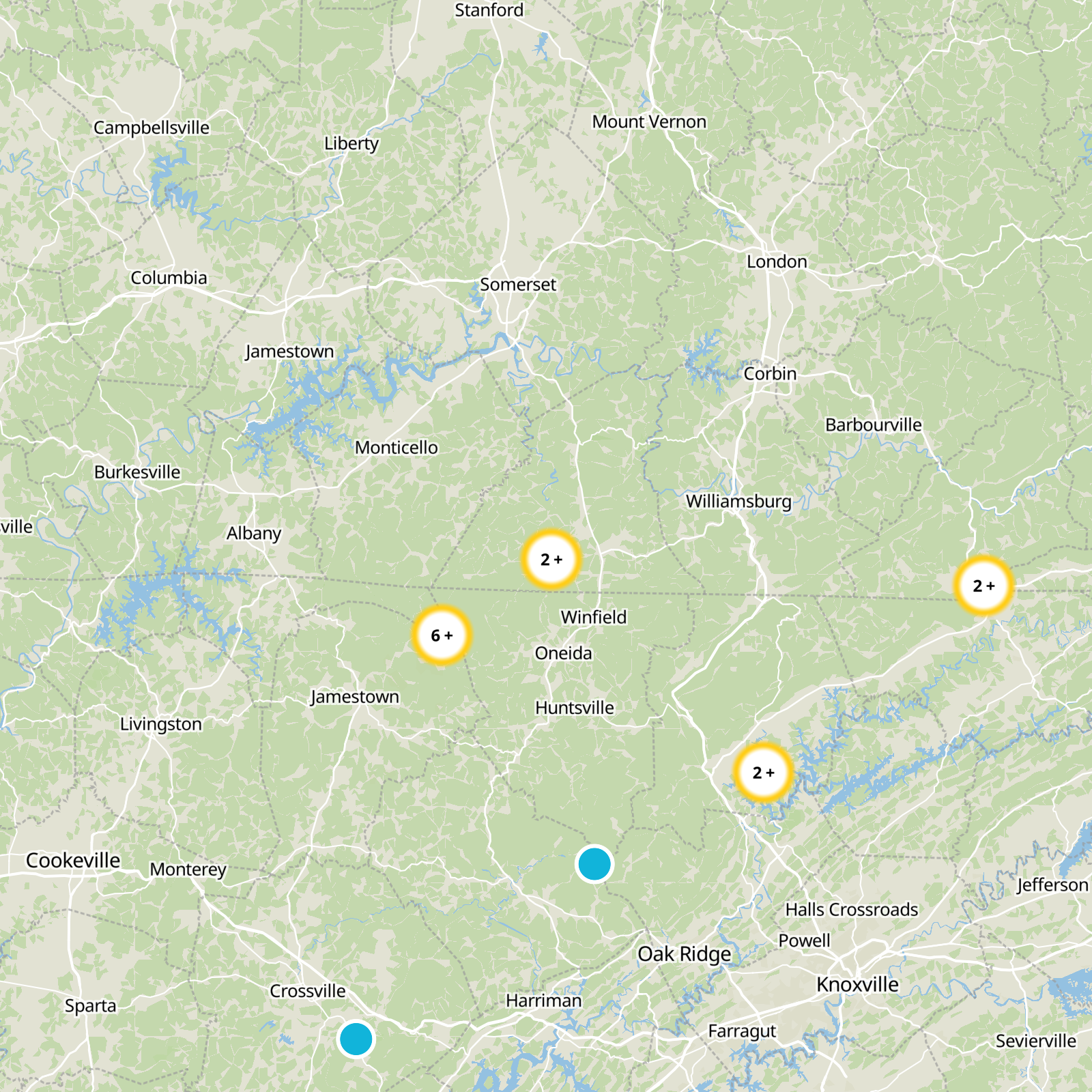
What to expect
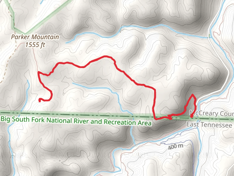
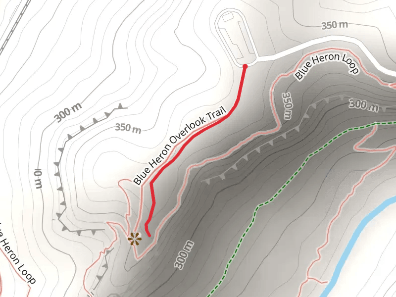
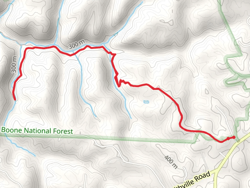
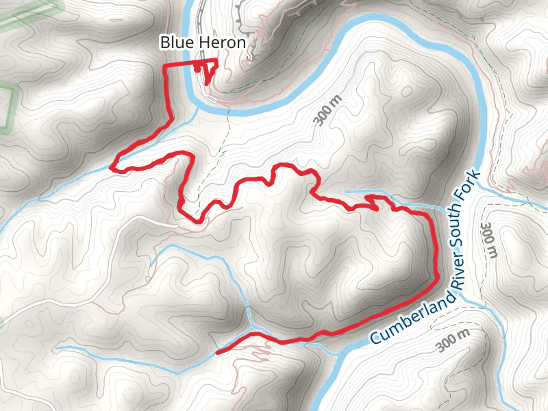
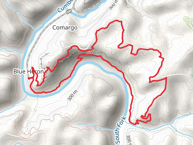
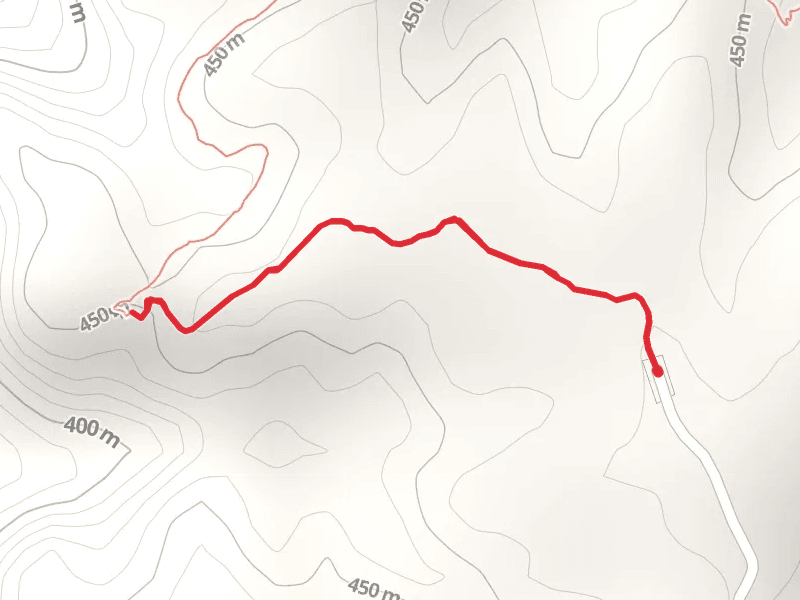
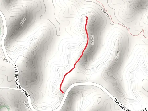
Check out some of the best hiking, walking and backpacking routes in McCreary County, Kentucky. The Blue Heron Overlook Trail is the most popular trail. There are trails of various difficulty levels including easy and medium. The trail with the highest elevation climb is the Buffalo Arch via Parker Mountain Trail and the trail with the least amount of climbing is the Sheltowee Trace Trail Out and Back. The longest trail is the Sheltowee Trace, Negro Creek and Yahoo Creek Loop Trail at 23.3 km. For a shorter adventure you can try the Blue Heron Overlook Trail at 824 m. Get off line access to Bus Stop, Campsite, Peak, and Water locations and much more with a Hiiker subscription.

Be prepared for hiking in Kentucky with the HiiKER app