Download
3D Preview
Add to list
More
116.7 km
~6 days
4651 m
Multi-Day
“Trek through Italy's heart on the Via degli Abati, a scenic medley of historical marvels and natural splendor.”
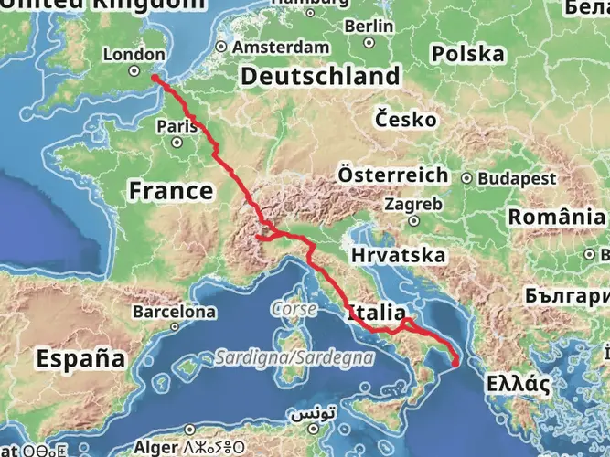
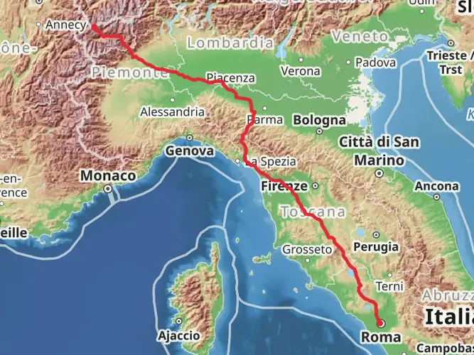
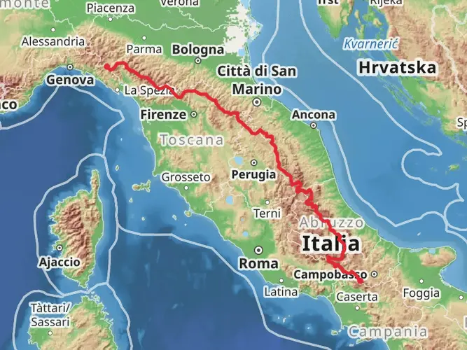
The Via degli Abati, also known as the Abbot's Way, is a historic trail that takes you through the picturesque landscapes of northern Italy, from the rolling hills near Varzi to the charming town of Pontremoli. Spanning approximately 117 kilometers (about 73 miles) with an elevation gain of around 4600 meters (approximately 15,091 feet), this medium-difficulty, point-to-point trail offers a blend of natural beauty and historical intrigue.
Getting to the Trailhead To begin your journey on the Via degli Abati, you'll need to make your way to the trailhead located near Varzi, Italy. If you're coming by public transport, the nearest major city with a train station is Pavia. From Pavia, you can catch a bus that will take you directly to Varzi. For those driving, Varzi is accessible via the SP461 road, and parking can be found in the town or near the trailhead.
Navigating the Trail As you embark on the Via degli Abati, it's essential to have a reliable navigation tool. HiiKER is an excellent resource for trail maps and can help you stay on track throughout your hike. The trail is marked, but having a digital map can be invaluable, especially in areas where the path may be less defined.
Historical Significance The Via degli Abati is steeped in history, originally used by abbots and pilgrims traveling between the monasteries of Bobbio and Pontremoli during the Middle Ages. As you traverse this ancient route, you'll encounter numerous historical landmarks, including the ruins of monasteries, old bridges, and castles that once served as important stops for travelers of the past.
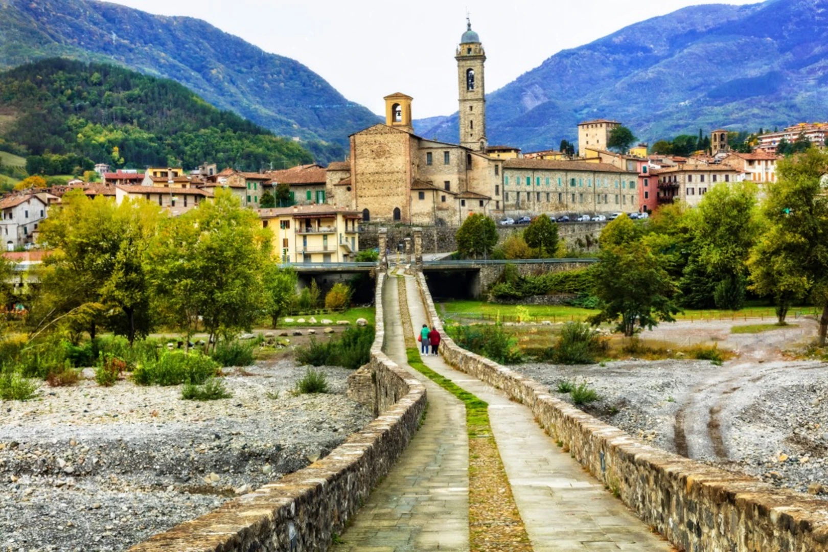
Landmarks and Nature The trail will take you through diverse landscapes, from dense chestnut and oak forests to open meadows and vineyards. The first section of the trail, leading out of Varzi, offers gentle hills and a chance to acclimate to the terrain. Approximately 20 kilometers (about 12.4 miles) in, you'll reach the quaint village of Bobbio, known for its medieval bridge, the Ponte Gobbo, and the Abbey of San Colombano.
Continuing on, the path becomes more challenging as you approach the Apennine Mountains. The Monte Penna segment, reaching an elevation of over 1,000 meters (about 3,280 feet), provides stunning panoramic views of the surrounding valleys. Wildlife is abundant in this area, with the possibility of spotting deer, wild boar, and various bird species.
Preparation and Planning Given the trail's length and varied terrain, it's important to plan for multiple days of hiking, with stops in the villages along the way for rest and resupply. The trail can be completed in about 5 to 7 days, depending on your pace. Accommodations range from small inns to traditional agriturismos, offering a taste of local hospitality and cuisine.
Weather conditions can change rapidly in the mountains, so be sure to pack appropriate gear for both warm and cool temperatures, as well as rain protection. Sturdy hiking boots are a must, as the trail can be rocky and uneven in places.
End of the Trail The Via degli Abati concludes in the medieval town of Pontremoli, known for its stone bridges and castle. Here, you can explore the narrow streets and historical buildings, reflecting on the journey you've completed along this path of abbots and pilgrims. Public transport is available from Pontremoli to return you to your starting point or onward to your next destination.

Comments and Reviews
User comments, reviews and discussions about the Via degli Abati, Italy.
4.67
average rating out of 5
6 rating(s)