Download
Preview
Add to list
More
8.5 km
~1 hrs 43 min
25 m
Loop
“The Carne Carnsore Point Trail blends coastal beauty, wildlife, and rich history into a moderately challenging, scenic hike.”
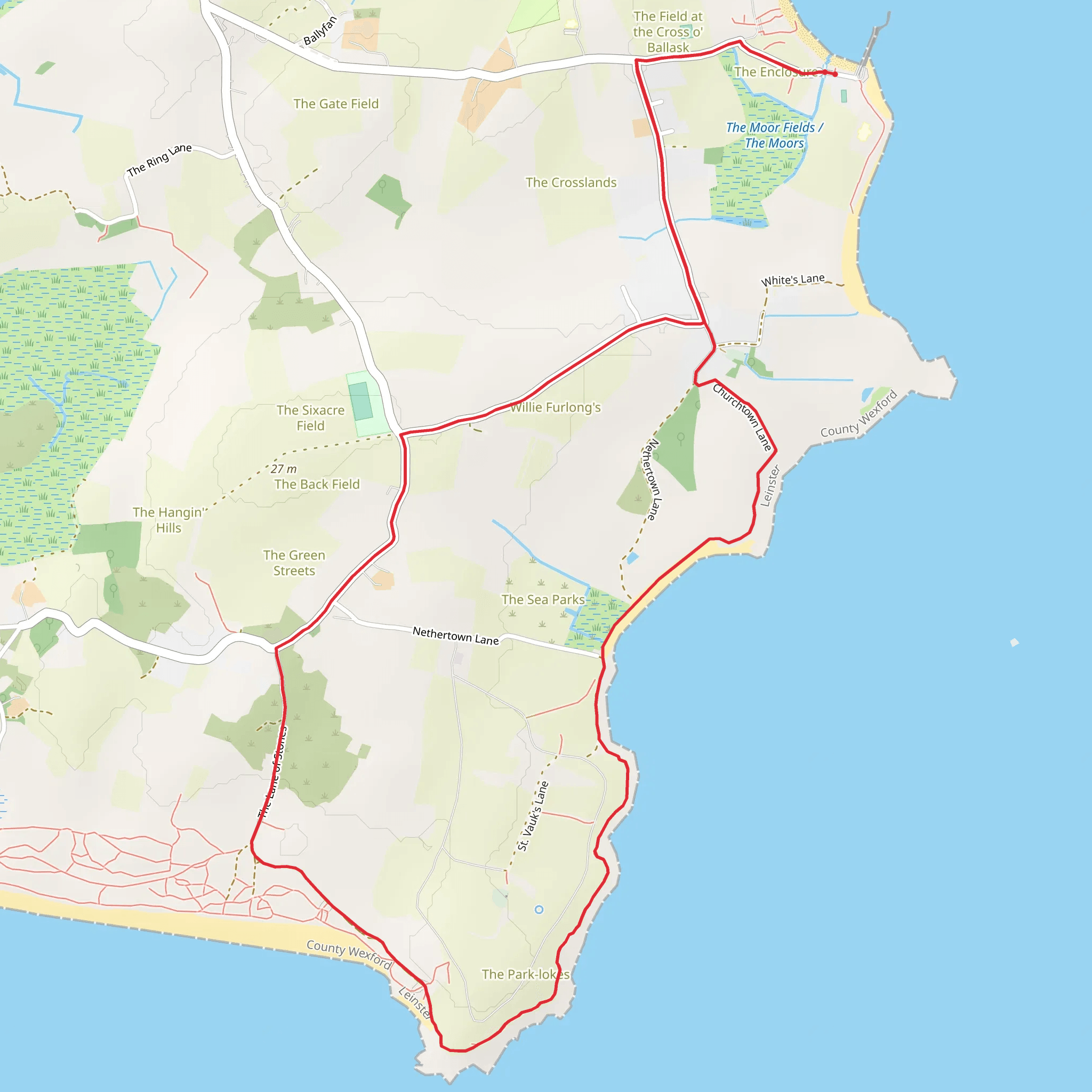
Starting near County Wexford, Ireland, the Carne Carnsore Point Trail is an 8 km (approximately 5 miles) loop with virtually no elevation gain, making it a relatively flat and accessible hike. This trail is estimated to be of medium difficulty, suitable for hikers with a moderate level of fitness.
Getting There To reach the trailhead, you can drive or use public transport. If driving, head towards Carne Beach, which is well-signposted from Wexford town. There is ample parking available near the beach. For those using public transport, take a bus from Wexford town to Carne Beach; the bus service is regular but check the latest schedules for any changes.
Trail Overview The trail begins near Carne Beach, a popular spot known for its sandy shores and clear waters. As you start your hike, you'll be greeted by the sound of waves crashing and the sight of seabirds soaring overhead. The first section of the trail runs parallel to the coastline, offering stunning views of the Irish Sea.
Points of Interest #### Carne Beach At the start of your hike, take a moment to enjoy Carne Beach. This beach is a great spot for a quick dip or a picnic before you set off. The area is also known for its diverse birdlife, so keep an eye out for species like the Eurasian oystercatcher and the common tern.
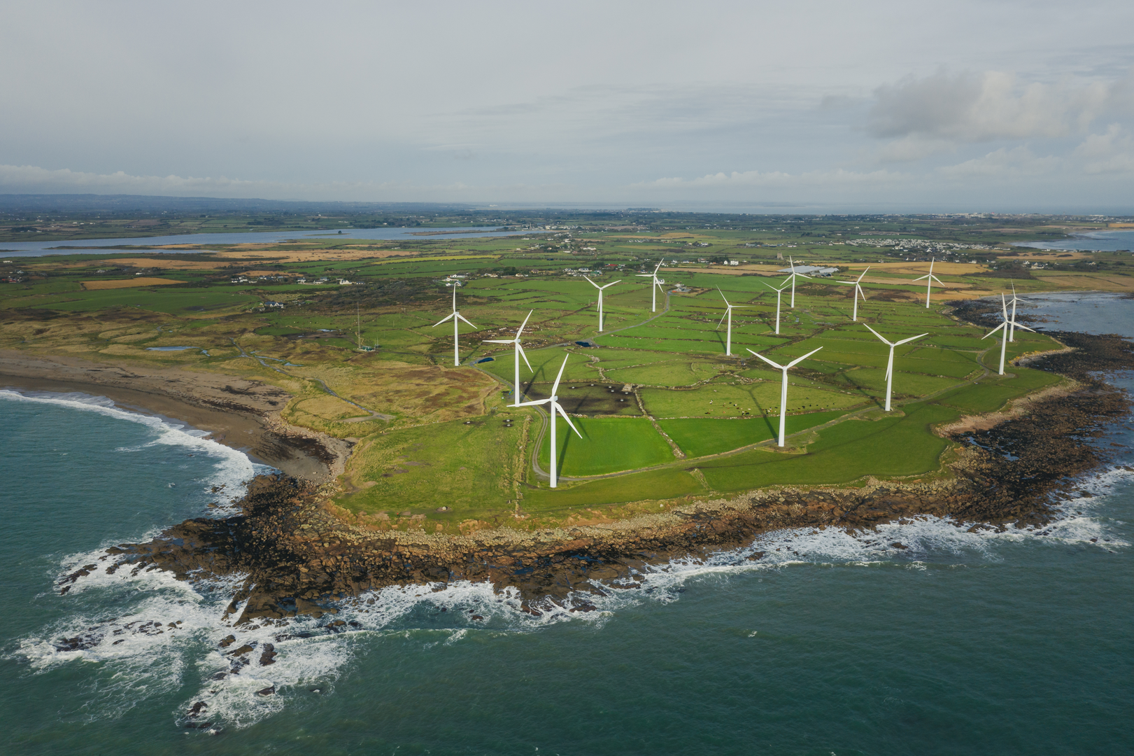
#### Carnsore Point Approximately 4 km (2.5 miles) into the hike, you'll reach Carnsore Point, the southeasternmost point of Ireland. This area is historically significant as it was once proposed as a site for a nuclear power plant in the 1970s, a plan that was eventually abandoned due to public opposition. Today, Carnsore Point is home to a wind farm, symbolizing a shift towards renewable energy.
Flora and Fauna The trail is rich in biodiversity. As you walk, you'll pass through coastal heathland, where you can spot wildflowers like sea thrift and heather. The area is also a haven for wildlife; you might see rabbits darting through the underbrush or hear the call of a skylark overhead.
Navigation Given the flat terrain and well-marked paths, navigation is straightforward. However, it's always a good idea to have a reliable navigation tool. The HiiKER app is highly recommended for this trail, providing detailed maps and real-time updates.
Practical Tips - **Footwear:** Given the coastal nature of the trail, waterproof hiking boots are advisable, especially after rain. - **Weather:** The weather can be unpredictable, so bring layers and a waterproof jacket. - **Supplies:** There are no facilities along the trail, so carry enough water and snacks for the duration of your hike. - **Safety:** Mobile reception can be patchy in some areas, so inform someone of your plans before you set off.
Historical Significance The region around Carne and Carnsore Point has a rich history. In addition to the proposed nuclear power plant, the area has been inhabited since ancient times. Archaeological finds suggest that it was a significant site during the Bronze Age, and you may come across remnants of ancient settlements as you hike.
The Carne Carnsore Point Trail offers a unique blend of natural beauty, historical significance, and wildlife, making it a rewarding experience for any hiker.
Comments and Reviews
User comments, reviews and discussions about the Carne Carnsore Point Trail, Ireland.
4.56
average rating out of 5
18 rating(s)

