The best hikes in County Westmeath
Ireland · 6 HiiKER Hikes
View Hikes on map

What to expect
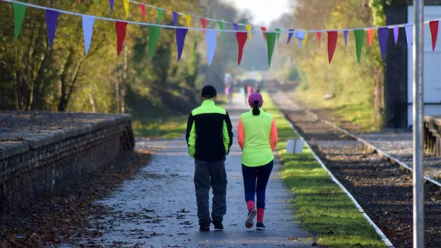
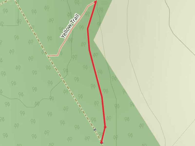
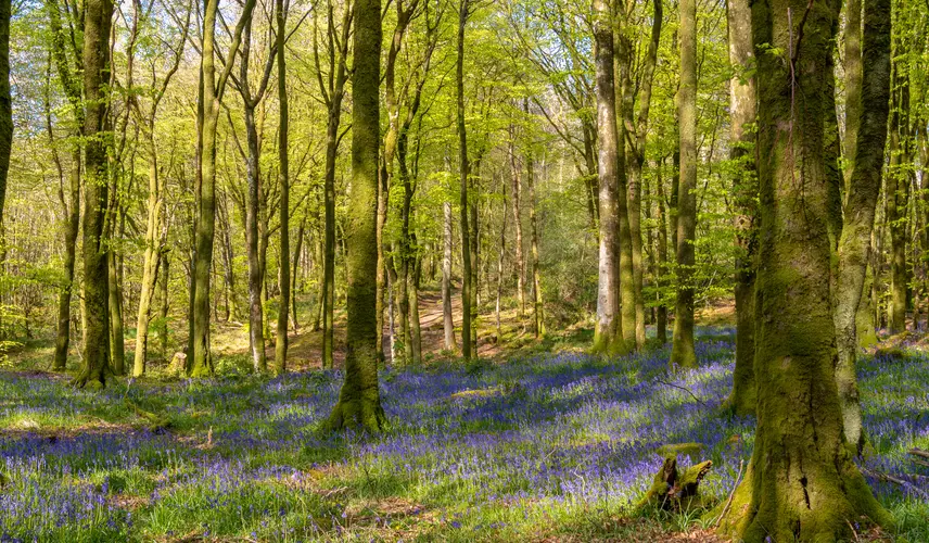
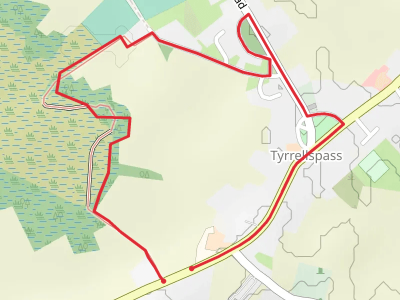
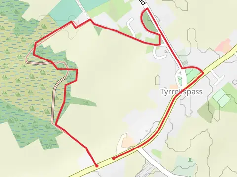
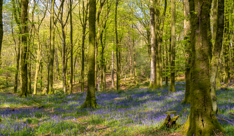
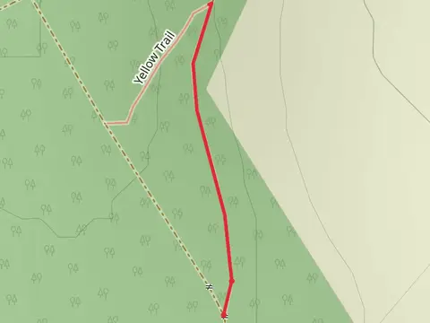
Check out some of the best hiking, walking and backpacking routes in County Westmeath, Ireland. The Mullingar - Athlone - Old Rail Trail Greenway is the most popular trail. The trails have 130 user reviews with great photos and information. The trail with the highest elevation climb is the Mullaghmeen Red Walk and the trail with the least amount of climbing is the Cloncrow Bog and Village Trail. The longest trail is the Mullingar - Athlone - Old Rail Trail Greenway at 42.0 km. For a shorter adventure you can try the Mullaghmeen Forest Trail at 427 m. Get off line access to Pub, Shop, Town, and Restaurant locations and much more with a Hiiker subscription.

Be prepared for hiking in Ireland with the HiiKER app