Download
3D Flyover
Add to list
More
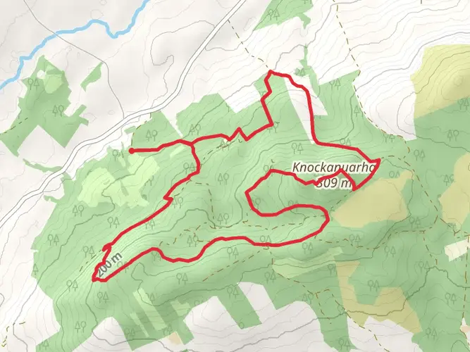
153.1 km
~6 days
1259 m
Multi-Day
“Embark on the Mid-Clare Way, a scenic trek through Ireland's storied landscapes and vibrant heritage.”
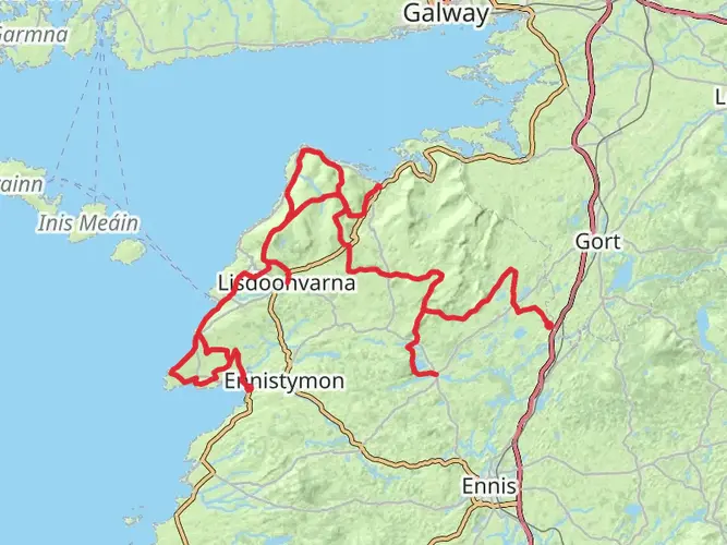
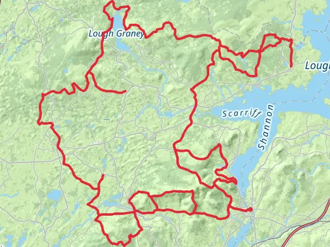
The Mid-Clare Way is a captivating loop trail that spans approximately 153 kilometers (about 95 miles) with an elevation gain of around 1200 meters (nearly 3937 feet), offering a medium difficulty level for hikers. This trail is nestled in the picturesque County Clare, Ireland, and is known for its rich blend of cultural heritage and natural beauty.
Getting to the Trailhead
To begin your journey on the Mid-Clare Way, you can reach the trailhead by public transport or car. The nearest significant landmark is the town of Ennis, which serves as a gateway to the trail. From Ennis, you can take a bus or taxi to the starting point near the village of Newmarket-on-Fergus, which is well-marked and easy to locate.
Navigating the Trail
As you embark on the trail, it's advisable to use HiiKER, a reliable navigation tool that will help you stay on track and provide you with detailed maps and waypoints. The trail is well-signed, guiding you through a variety of landscapes including rolling farmland, quiet woodlands, and boggy heaths.
Landmarks and Natural Beauty
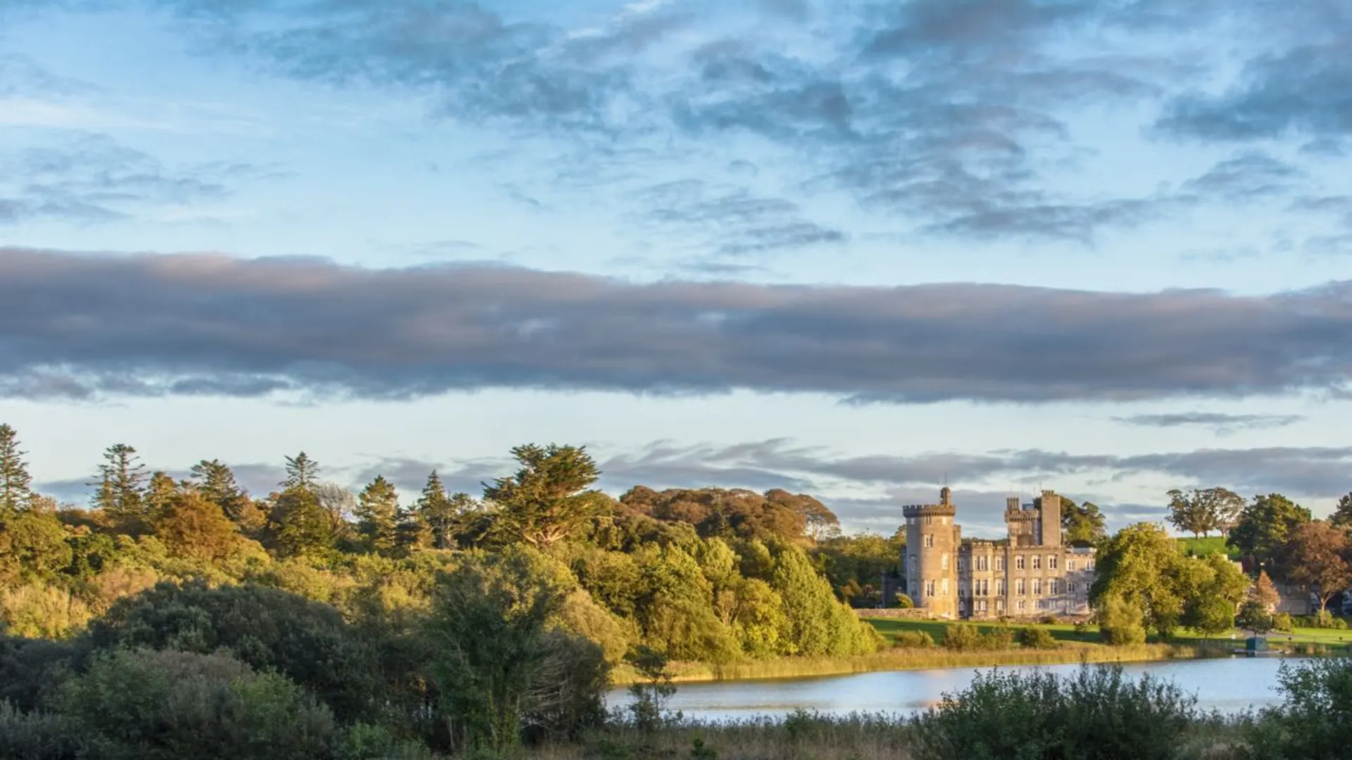
One of the first significant landmarks you'll encounter is the historic Dysert O'Dea Castle, approximately 8 kilometers (5 miles) from the trailhead. This 15th-century castle is home to an archeology center and showcases the rich history of the region.
Continuing on, you'll pass through the charming village of Corofin, which lies roughly 16 kilometers (10 miles) into the hike. Here, you can take a moment to enjoy the local hospitality and perhaps visit the Clare Heritage Centre.
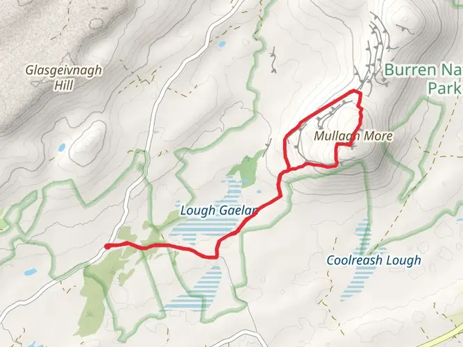
As you progress, the trail offers stunning views of the unique Burren landscape, a karst region renowned for its rare flora and geological formations. The trail doesn't traverse the heart of the Burren but skirts around its edges, providing glimpses of its limestone pavements and diverse plant life.
Wildlife and Flora
The Mid-Clare Way is a haven for wildlife enthusiasts. The trail meanders through habitats that are home to a variety of birds, including the elusive peregrine falcon and the charming skylark. Keep an eye out for Irish hares bounding across the fields and the many species of butterflies that flutter among the wildflowers.
Historical Significance
County Clare is steeped in history, and the Mid-Clare Way allows hikers to immerse themselves in its storied past. The region has been shaped by centuries of habitation, with numerous ring forts, ancient churches, and stone monuments dotting the landscape. These historical sites offer a tangible connection to Ireland's Celtic and early Christian eras.
Preparation and Planning
Before setting out, ensure you have adequate supplies, as some stretches of the trail are remote and facilities are sparse. Weather in Ireland can be unpredictable, so pack waterproof gear and layers to accommodate changing conditions. Sturdy hiking boots are essential for the varied terrain.
Conclusion
The Mid-Clare Way is a journey through the heart of Ireland's natural and historical heritage. With careful planning and a spirit of adventure, hikers will find this trail to be a rewarding experience that encapsulates the essence of the Irish countryside.

What to expect?
Activity types
Comments and Reviews
User comments, reviews and discussions about the Mid-Clare Way, Ireland.
4.61
average rating out of 5
18 rating(s)