Download
3D Flyover
Add to list
More
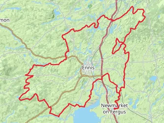
75.5 km
~3 days
1075 m
Multi-Day
“The Burren Way: a scenic hike through Ireland's historical karst terrain, blending natural splendor with ancient mystique.”
The Burren Way is a captivating long-distance trail that meanders through the unique karst landscape of County Clare, Ireland. Spanning approximately 76 kilometers (about 47 miles) with an elevation gain of around 1000 meters (3280 feet), this trail offers hikers an immersive experience in one of Ireland's most distinctive regions.
Getting to the Trailhead
The trailhead is conveniently located near the town of Lahinch, which is accessible by public transport or car. If you're coming from Dublin, you can take a bus or train to Galway and then transfer to a local bus service that will drop you off in Lahinch. By car, Lahinch is about a three-hour drive from Dublin. Parking is available in the town, and from there, the trailhead is just a short walk away.
Navigating the Trail
As you embark on the Burren Way, it's advisable to use a reliable navigation tool like HiiKER to keep track of your progress and ensure you're following the trail accurately. The route is well-marked with the standard yellow walking man and arrows, but having a digital map can be invaluable, especially in areas where the trail may be less defined.
Trail Highlights and Landmarks
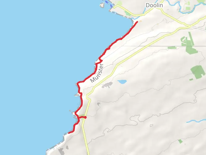
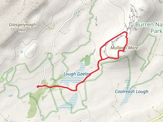
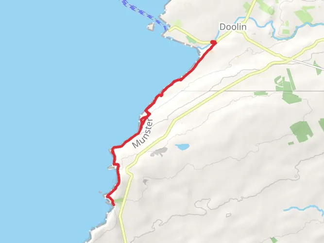
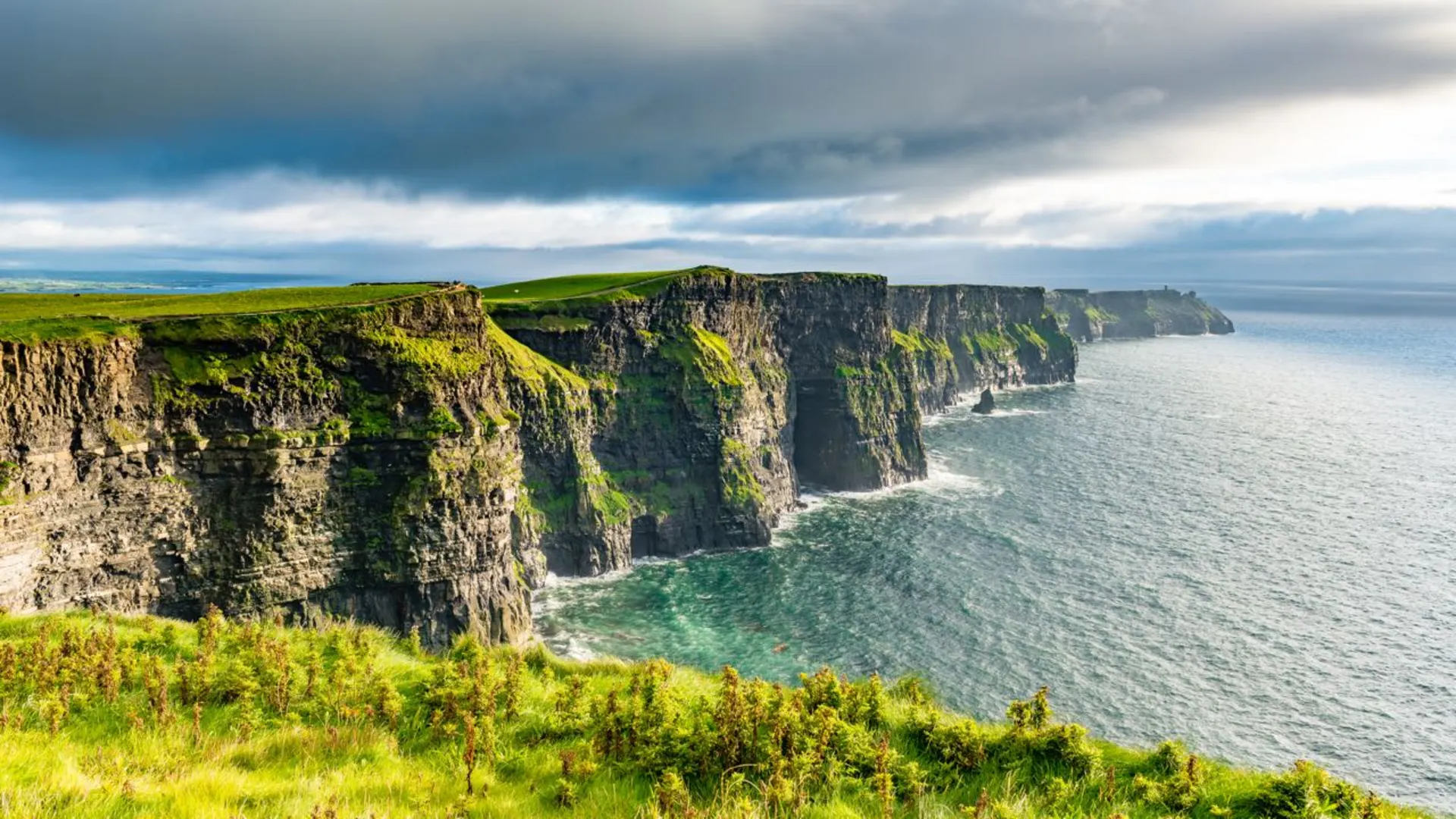
The Burren Way takes you through a landscape that feels almost lunar, with limestone pavements stretching as far as the eye can see. Early in the hike, you'll pass by the Cliffs of Moher, one of Ireland's most spectacular natural attractions. Standing 214 meters (702 feet) at their highest point, the cliffs offer breathtaking views of the Atlantic Ocean.
As you continue, you'll encounter the historical Poulnabrone Dolmen, an ancient portal tomb dating back to the Neolithic period, around 4200 BCE to 2900 BCE. This megalithic structure is one of the most iconic landmarks in the Burren and provides a tangible connection to the area's rich history.
Flora and Fauna
The Burren is renowned for its remarkable flora. Despite the rocky terrain, the region is home to a mix of Mediterranean, Arctic, and Alpine plants, some of which are found nowhere else in Ireland. Keep an eye out for the vibrant wildflowers that bloom in the cracks of the limestone pavements.
Wildlife in the Burren includes a variety of bird species, such as the peregrine falcon and the elusive Irish hare. The trail also winds through several nature reserves, where conservation efforts are in place to protect the unique biodiversity of the area.
Terrain and Difficulty
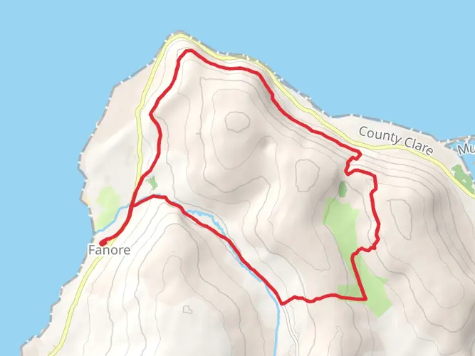
The terrain of the Burren Way varies from flat limestone pavements to gentle hills and occasional steep ascents. The trail is rated as medium difficulty, which means it's suitable for hikers with some experience. Good hiking boots are essential, as the rocky paths can be tough on the feet, and the weather in Ireland can change rapidly, so waterproof gear is recommended.
Accommodation and Amenities
Along the Burren Way, there are several towns and villages where you can find accommodation, ranging from cozy B&Bs to more luxurious hotels. The trail passes through Lisdoonvarna, known for its traditional Irish music and annual matchmaking festival, and Ballyvaughan, a charming village with amenities for hikers.
Historical Significance
The Burren region is steeped in history, with evidence of human activity dating back over 6,000 years. The landscape is dotted with ancient forts, burial sites, and ecclesiastical ruins, each telling a story of Ireland's past. The Burren Way itself is a journey through time, offering hikers a chance to walk in the footsteps of the island's ancestors.
Conclusion
By the time you reach the end of the Burren Way in Corofin, you will have traversed a landscape that is both starkly beautiful and rich in history. The trail's combination of natural wonders, wildlife, and historical sites makes it a must-hike for anyone interested in experiencing the essence of Ireland's rugged west coast.

What to expect?
Activity types
Comments and Reviews
User comments, reviews and discussions about the Burren Way, Ireland.
4.43
average rating out of 5
30 rating(s)