Download
3D Flyover
Add to list
More
66.0 km
~3 days
1232 m
Multi-Day
“Embark on the scenic Tecumseh Trail to discover Indiana's diverse landscapes and rich history.”
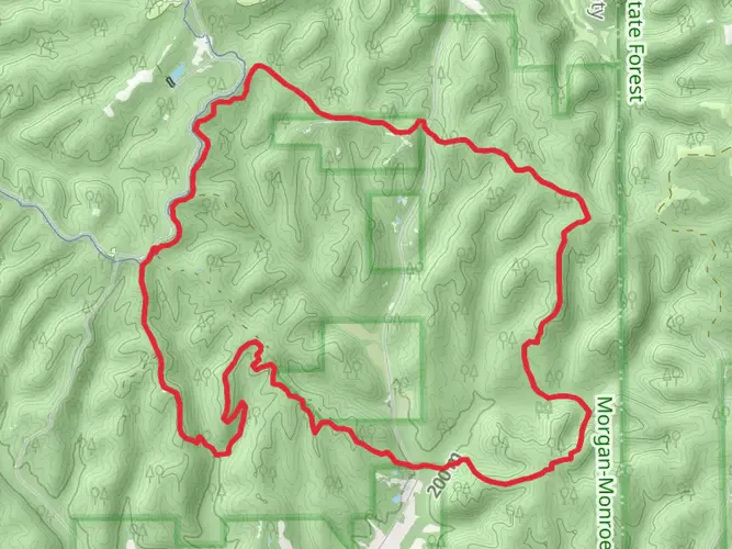
Spanning approximately 41 miles (66 kilometers) through the rolling hills of southern Indiana, the Tecumseh Trail offers hikers a moderately challenging journey with an elevation gain of roughly 3,937 feet (1200 meters). The trailhead is conveniently located near Monroe County, close to Bloomington, Indiana. Those looking to embark on this adventure can reach the starting point by car, parking at the Morgan-Monroe State Forest office, which is a short drive from Bloomington.
Getting to the Trailhead
To get to the trailhead using public transportation, one can take a bus from Bloomington towards Morgan-Monroe State Forest. For those driving, take State Road 46 east from Bloomington, turn right onto Forest Road, and follow the signs to the forest office where you can find parking.
Navigating the Trail
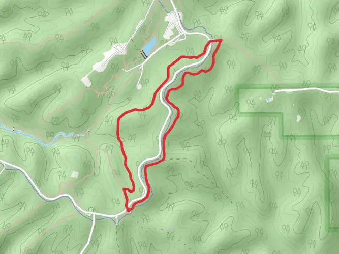
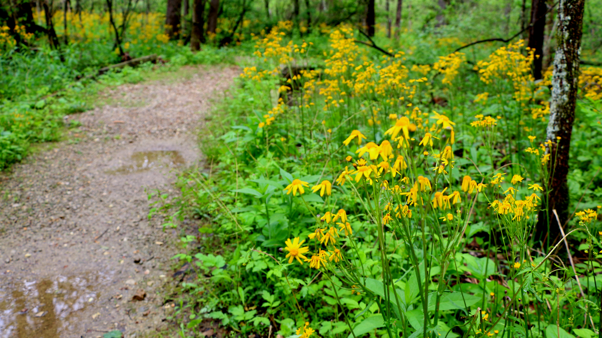
As you set out on the Tecumseh Trail, you'll traverse a variety of landscapes, including dense hardwood forests, serene valleys, and rugged ridgelines. The trail is well-marked with Tecumseh Trail logos, but carrying a reliable navigation tool like HiiKER is recommended to stay on track and be aware of upcoming changes in terrain or elevation.
Landmarks and Scenery
One of the first significant landmarks you'll encounter is the Low Gap, roughly 10 miles (16 kilometers) from the start. This area is known for its beautiful, mature trees and the Low Gap Nature Preserve. As you continue, the trail intersects with the Three Lakes Trail near the halfway point, offering a picturesque view of Cherry Lake.
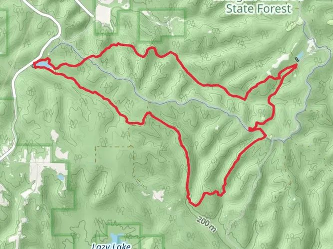
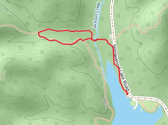
Further along, hikers will reach the Yellowwood State Forest, which adds another layer of natural beauty and biodiversity to the experience. The trail meanders around Yellowwood Lake and offers a peaceful setting for a rest or a meal.
Wildlife and Nature
The Tecumseh Trail is home to a rich array of wildlife. Keep an eye out for white-tailed deer, wild turkeys, and various bird species. The forest canopy is alive with the sounds of nature, and the changing seasons bring a kaleidoscope of colors, from the vibrant greens of spring to the fiery hues of autumn.
Historical Significance
The trail is named after the famous Shawnee leader Tecumseh, who played a significant role in the history of the region. Hiking this trail is not only a journey through nature but also a walk through history, as the area was once a battleground during Tecumseh's resistance against the United States in the early 19th century.
Preparation and Planning
Before setting out, ensure you have enough water, as sources along the trail may not be reliable. Also, pack food, a first-aid kit, and layers of clothing to adapt to changing weather conditions. Check the forecast and plan for any seasonal considerations, such as snow in winter or thunderstorms in summer.
Conclusion
The Tecumseh Trail offers a rewarding experience for those looking to explore the natural and historical landscapes of Indiana. With proper preparation and respect for the trail and its surroundings, hikers can enjoy a memorable adventure through the heart of the Midwest's wilderness.

What to expect?
Activity types
Comments and Reviews
User comments, reviews and discussions about the Tecumseh Trail, Indiana.
4.54
average rating out of 5
13 rating(s)