The best hikes in Cook County
Illinois · 264 HiiKER Hikes
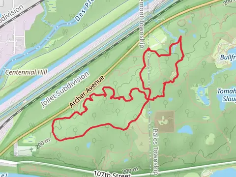
View Hikes on map
What to expect
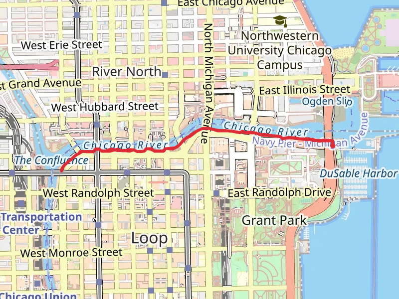
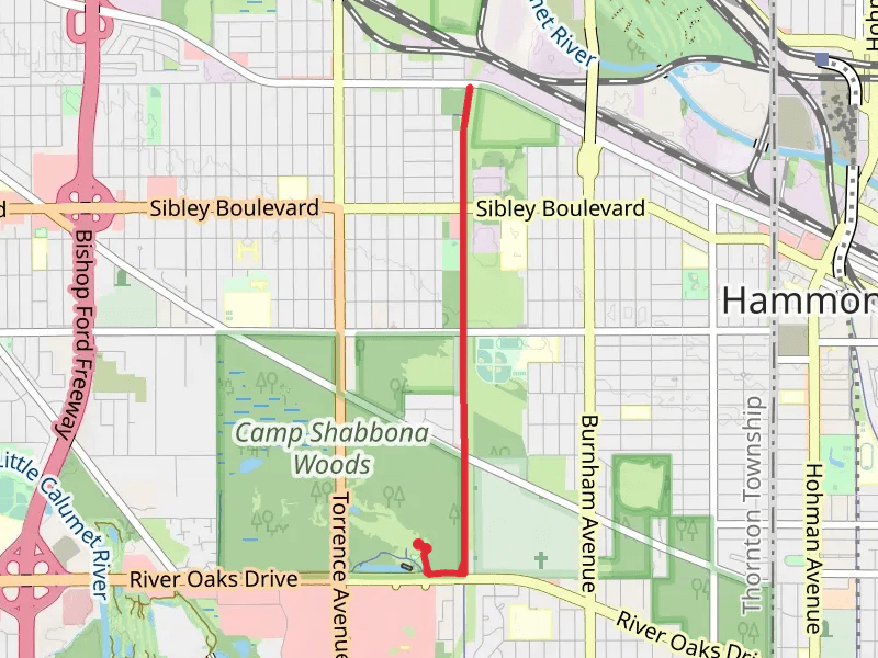
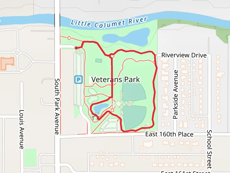
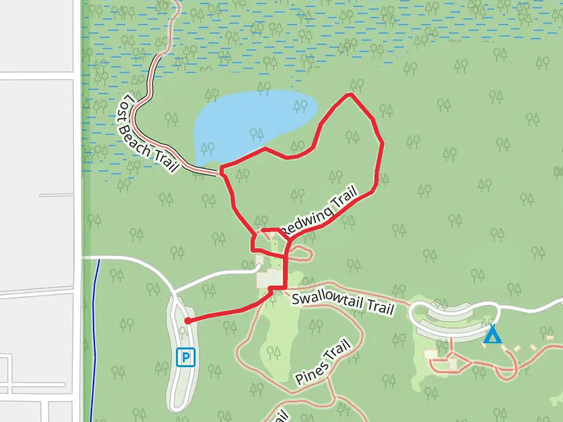
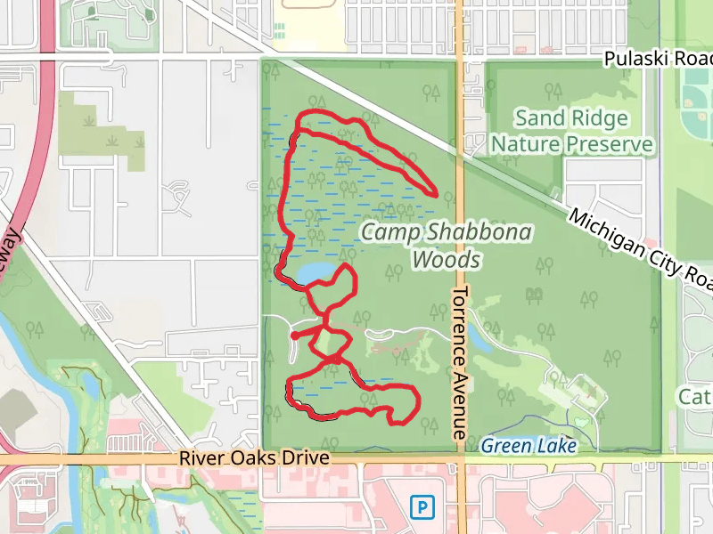
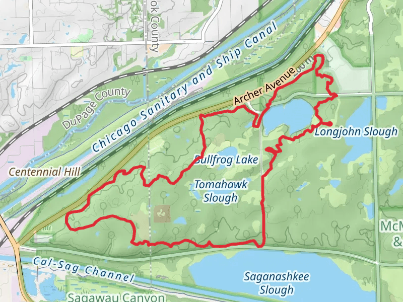
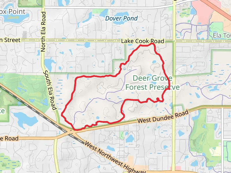
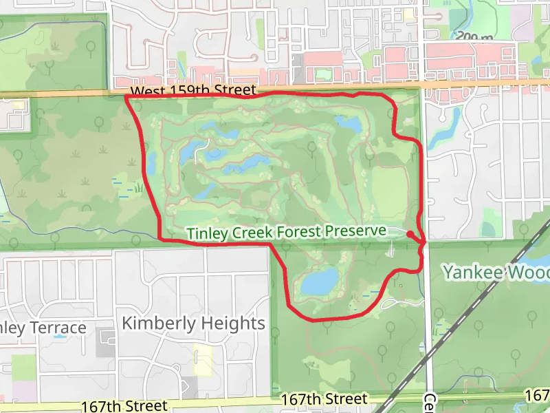
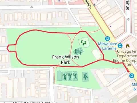
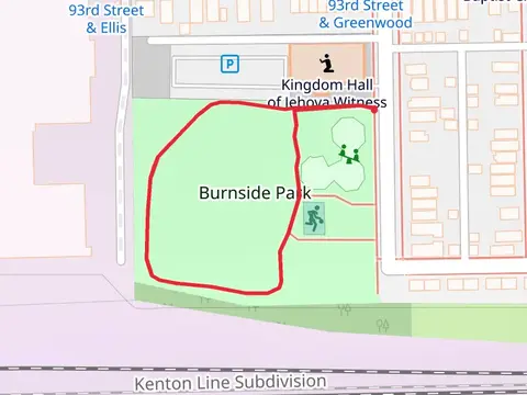
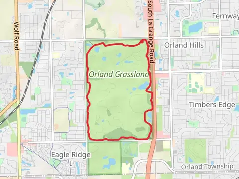
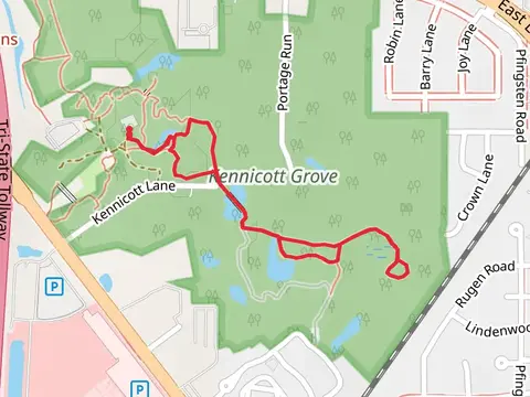
Check out some of the best hiking, walking and backpacking routes in Cook County, Illinois. The Illinois Prairie Path is the most popular trail. The trails have 7667 user reviews with great photos and information. There are trails of various difficulty levels including easy, medium, and extra difficult. The trail with the highest elevation climb is the Loop around Penny Road Pond - County Forest Preserve and the trail with the least amount of climbing is the Chicago Riverwalk. The longest trail is the Illinois Prairie Path at 47.1 km. For a shorter adventure you can try the Flossmoor Road Walk at 258 m. Get off line access to Shelter, Shop, Restaurant, and Fastfood locations and much more with a Hiiker subscription.

Be prepared for hiking in Illinois with the HiiKER app