Idaho Centennial Trail trail stages
stage 1
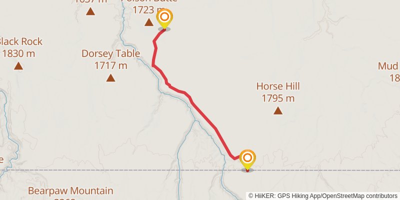
Starting at: Murphy Hot Springs, Rogerson, Owyhee County, 83302
Ending at: Owyhee County, 83302
Distance: 22.0 km
Elevation gain: 61 m
Duration: 04:30:39
View on mapstage 2
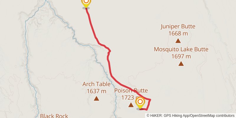
Starting at: Owyhee County, 83302
Ending at: Owyhee County
Distance: 27.3 km
Elevation gain: 56 m
Duration: 05:33:40
View on mapstage 3
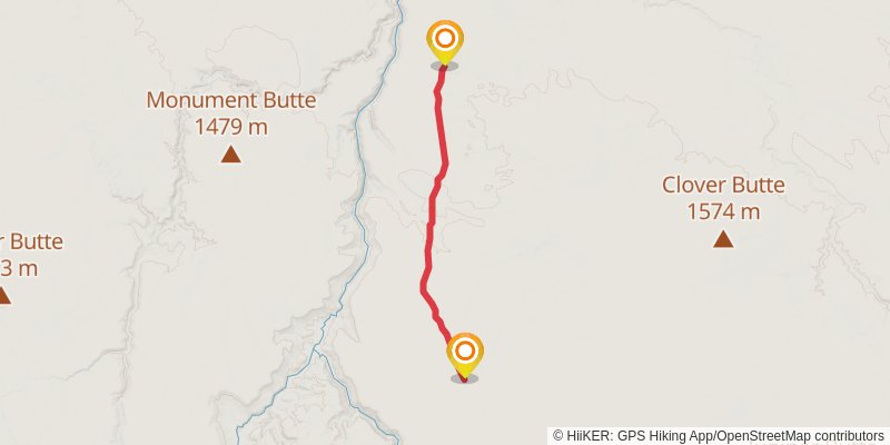
Starting at: Owyhee County
Ending at: Owyhee County, 83604
Distance: 17.0 km
Elevation gain: 39 m
Duration: 03:27:18
View on mapstage 4
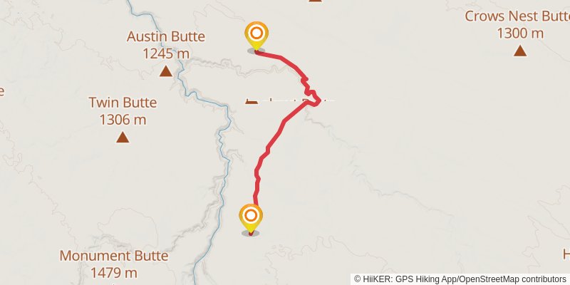
Starting at: Owyhee County, 83604
Ending at: Owyhee County, 83604
Distance: 21.0 km
Elevation gain: 185 m
Duration: 04:30:20
View on mapstage 5
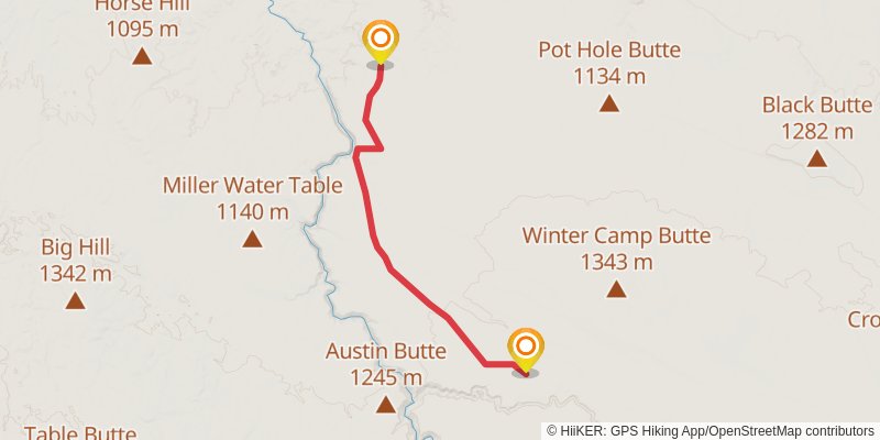
Starting at: Owyhee County
Ending at: Owyhee County
Distance: 21.8 km
Elevation gain: 86 m
Duration: 04:30:23
View on mapstage 6
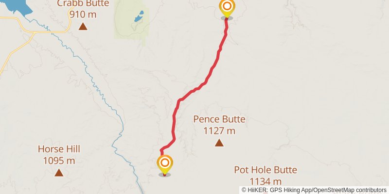
Starting at: Owyhee County
Ending at: Owyhee County, 83627
Distance: 21.8 km
Elevation gain: 81 m
Duration: 04:30:03
View on mapstage 7
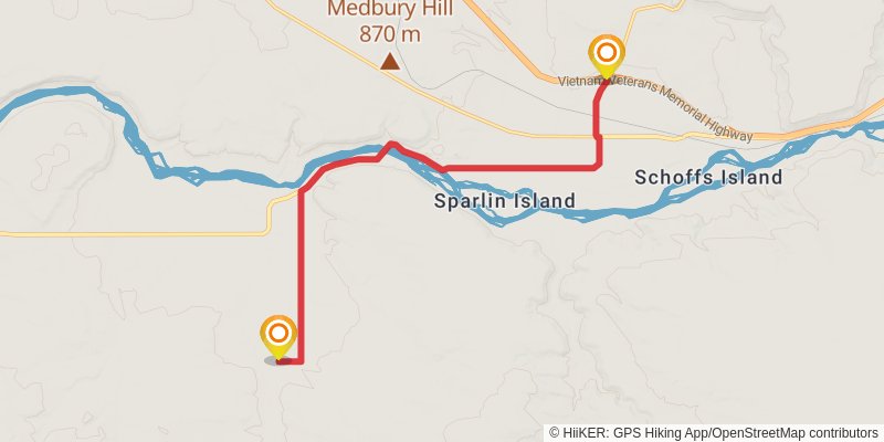
Starting at: Owyhee County, 83627
Ending at: Hammett, Elmore County, 83627
Distance: 15.4 km
Elevation gain: 119 m
Duration: 03:16:49
View on mapstage 8
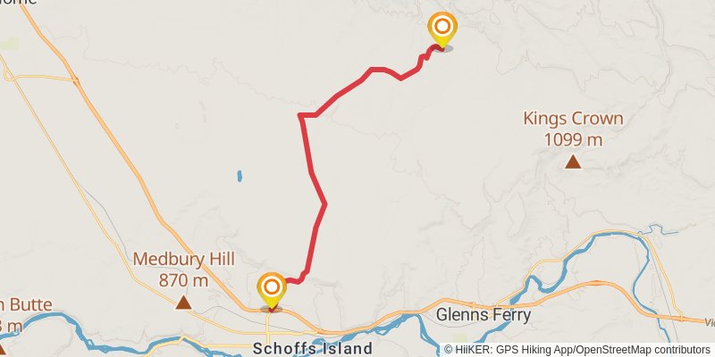
Starting at: Hammett, Elmore County, 83627
Ending at: Elmore County, 83623
Distance: 25.5 km
Elevation gain: 453 m
Duration: 05:51:18
View on mapstage 9
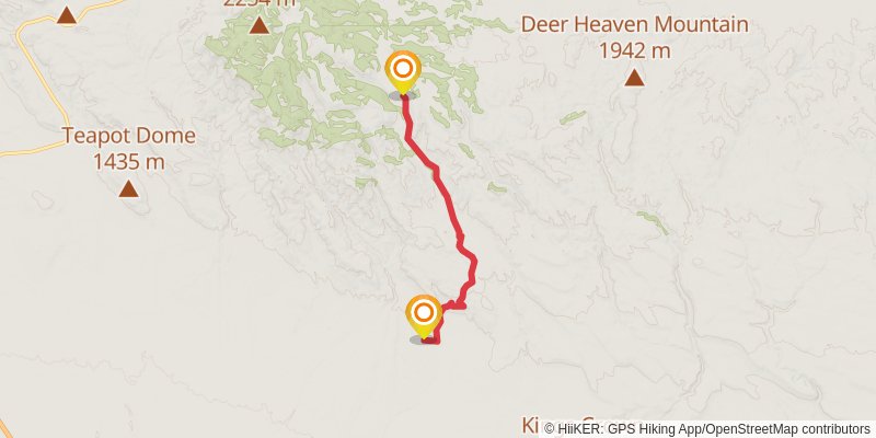
Starting at: Elmore County, 83623
Ending at: Glenns Ferry, Elmore County, 83623
Distance: 16.3 km
Elevation gain: 750 m
Duration: 04:30:36
View on mapstage 10
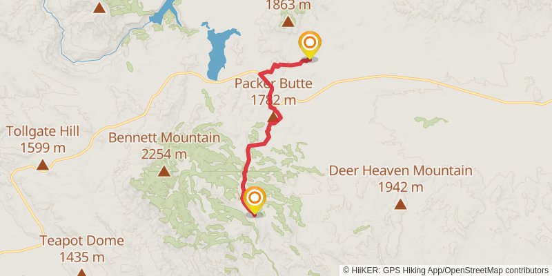
Starting at: King Hill, Elmore County, 83633
Ending at: Mountain Home, Elmore County, 83647
Distance: 19.6 km
Elevation gain: 351 m
Duration: 04:30:34
View on mapstage 11
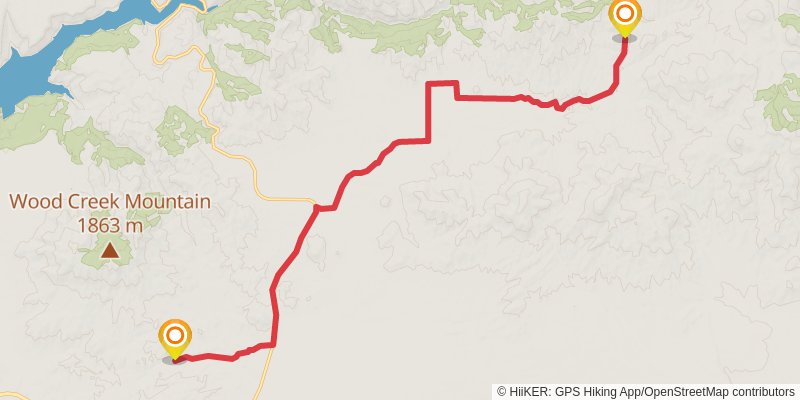
Starting at: Mountain Home, Elmore County, 83647
Ending at: Elmore County, 83647
Distance: 20.3 km
Elevation gain: 269 m
Duration: 04:30:17
View on mapstage 12
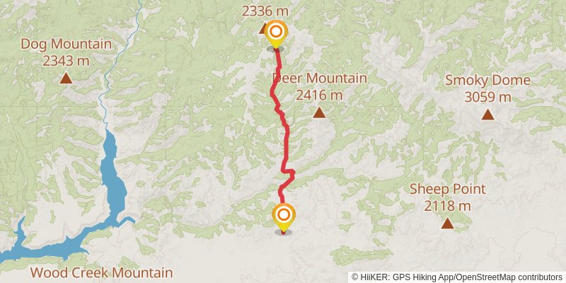
Starting at: Elmore County, 83647
Ending at: Elmore County, 83647
Distance: 17.1 km
Elevation gain: 643 m
Duration: 04:30:05
View on mapstage 13
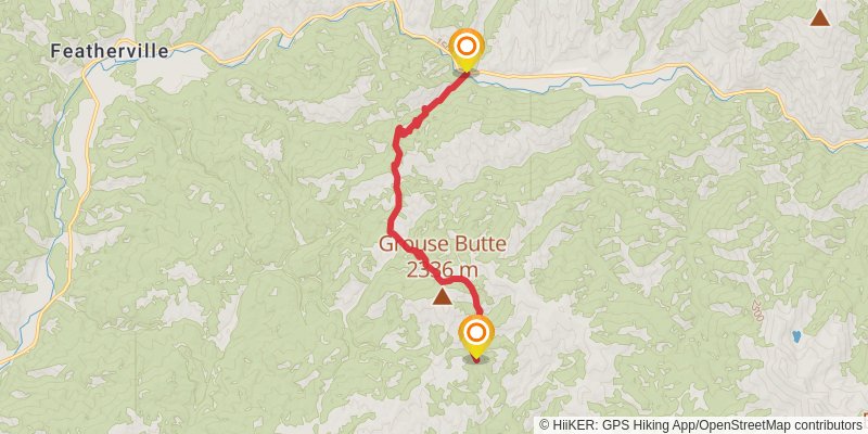
Starting at: Elmore County, 83647
Ending at: Mountain Home, Elmore County, 83647
Distance: 11.0 km
Elevation gain: 566 m
Duration: 03:08:41
View on mapstage 14
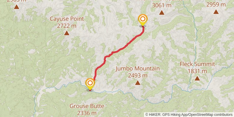
Starting at: Mountain Home, Elmore County, 83647
Ending at: Mountain Home, Elmore County, 83647
Distance: 18.5 km
Elevation gain: 1299 m
Duration: 05:51:42
View on mapstage 15
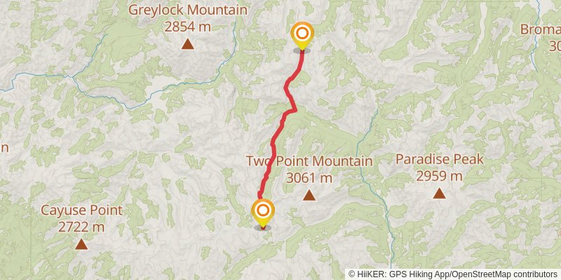
Starting at: Elmore County, 83647
Ending at: Fairfield, Camas County, 83327
Distance: 16.6 km
Elevation gain: 706 m
Duration: 04:30:09
View on mapstage 16
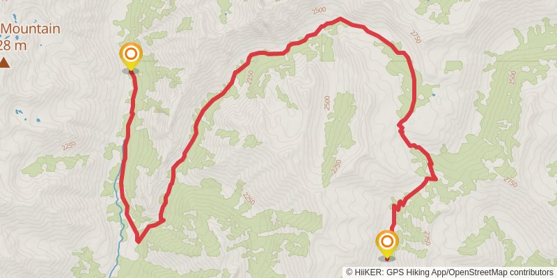
Starting at: Camas County, 83327
Ending at: Atlanta, Elmore County, 83601
Distance: 17.3 km
Elevation gain: 626 m
Duration: 04:30:11
View on mapalt 1
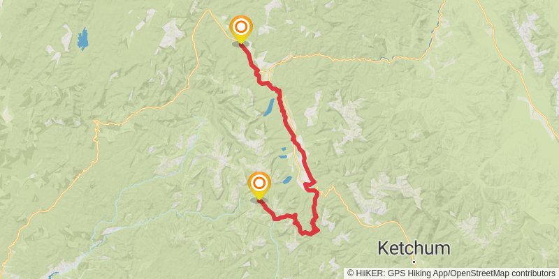
Starting at: Ketchum, Camas County, 83340
Ending at: Stanley, Custer County, 83278
Distance: 136.7 km
Elevation gain: 3564 m
Duration: 33:16:55
View on mapstage 17
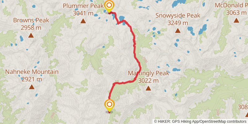
Starting at: Elmore County, 83601
Ending at: Lowman, Boise County, 83637
Distance: 14.6 km
Elevation gain: 950 m
Duration: 04:30:21
View on mapstage 18
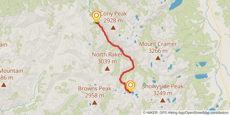
Starting at: Boise County, 83637
Ending at: Lowman, Boise County, 83637
Distance: 21.6 km
Elevation gain: 118 m
Duration: 04:30:34
View on mapstage 19
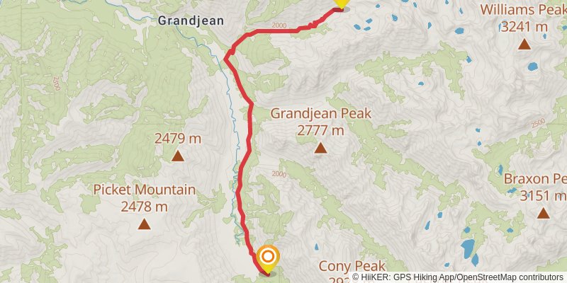
Starting at: Grandjean, Boise County, 83637
Ending at: Lowman, Boise County, 83637
Distance: 15.5 km
Elevation gain: 840 m
Duration: 04:30:16
View on mapstage 20
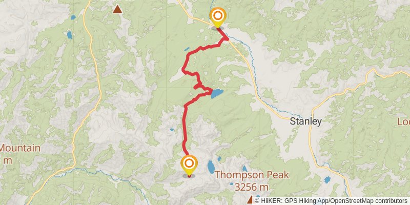
Starting at: Grandjean, Boise County, 83637
Ending at: Stanley, Custer County, 83278
Distance: 26.6 km
Elevation gain: 426 m
Duration: 06:01:09
View on mapstage 21
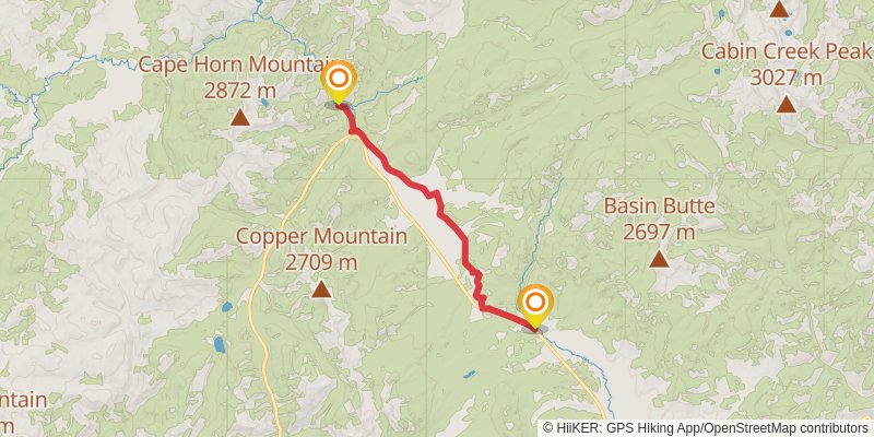
Starting at: Stanley, Custer County, 83278
Ending at: Stanley, Custer County, 83278
Distance: 17.7 km
Elevation gain: 115 m
Duration: 03:44:23
View on mapstage 22
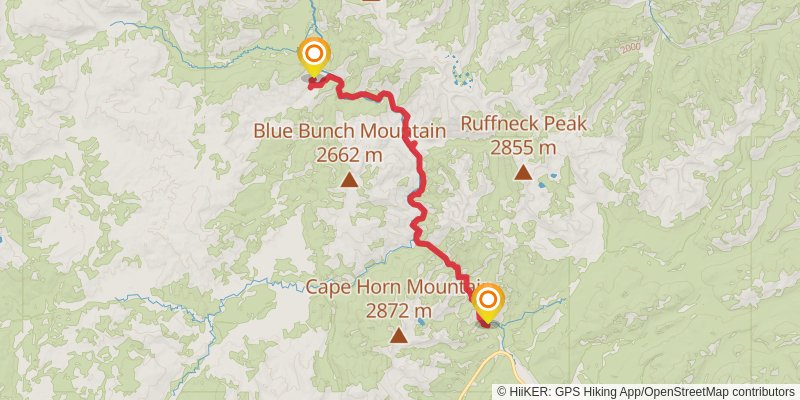
Starting at: Stanley, Custer County, 83278
Ending at: Cascade, Valley County, 83611
Distance: 24.9 km
Elevation gain: 724 m
Duration: 06:10:44
View on mapstage 23
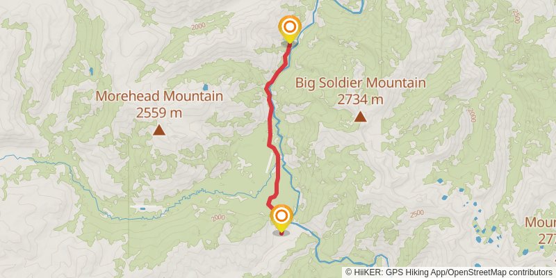
Starting at: Valley County, 83611
Ending at: Cascade, Valley County, 83611
Distance: 8.8 km
Elevation gain: 215 m
Duration: 02:06:51
View on mapalt 2
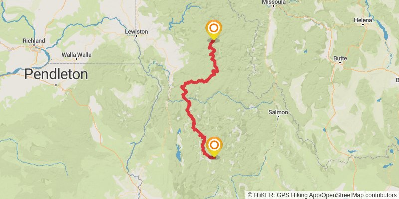
Starting at: Cascade, Valley County, 83611
Ending at: Kooskia, Idaho County, 83539
Distance: 99.2 km
Elevation gain: 4281 m
Duration: 26:58:07
View on mapstage 24
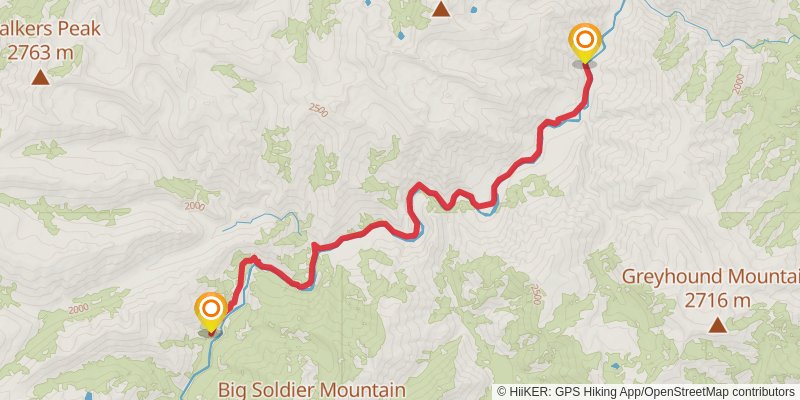
Starting at: Valley County, 83611
Ending at: Cascade, Valley County, 83611
Distance: 18.3 km
Elevation gain: 512 m
Duration: 04:30:33
View on mapstage 25
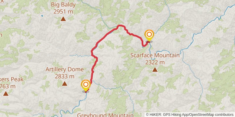
Starting at: Valley County, 83611
Ending at: Cascade, Valley County, 83611
Distance: 24.9 km
Elevation gain: 607 m
Duration: 05:59:57
View on mapstage 26
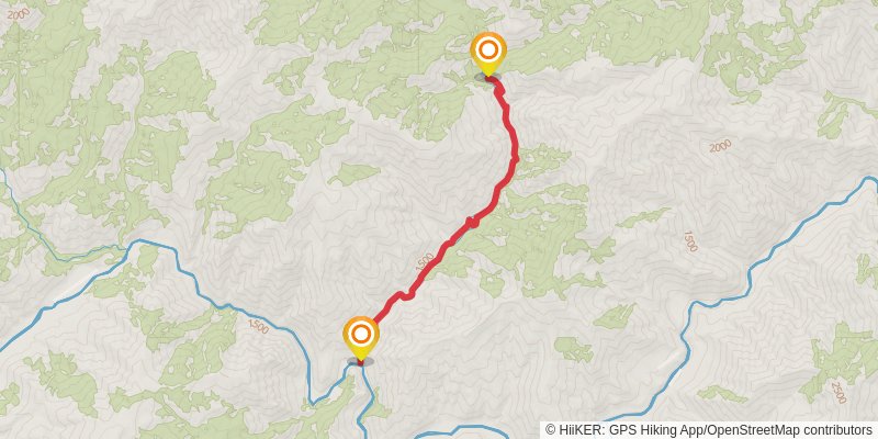
Starting at: Valley County, 83611
Ending at: Cascade, Valley County, 83611
Distance: 9.8 km
Elevation gain: 634 m
Duration: 03:00:35
View on mapstage 27
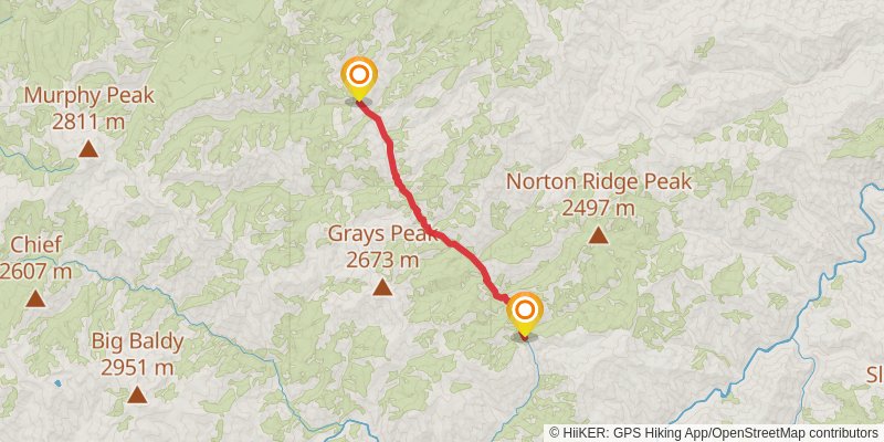
Starting at: Valley County, 83611
Ending at: Cascade, Valley County, 83611
Distance: 16.0 km
Elevation gain: 803 m
Duration: 04:32:15
View on mapstage 28
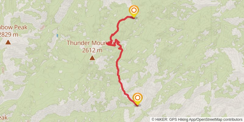
Starting at: Valley County, 83611
Ending at: Cascade, Valley County, 83611
Distance: 13.6 km
Elevation gain: 1081 m
Duration: 04:30:55
View on map