Ultra Pedestrian North Loop trail stages
stage 61
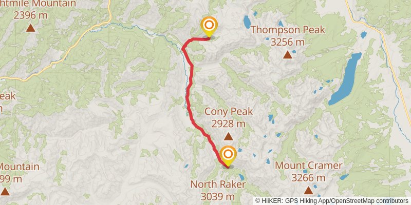
Starting at: Lowman, Boise County, 83637
Ending at: Lowman, Boise County, 83637
Distance: 18.5 km
Elevation gain: 486 m
Duration: 04:30:31
stage 62
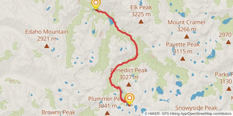
Starting at: Lowman, Boise County, 83637
Ending at: Lowman, Boise County, 83637
Distance: 15.8 km
Elevation gain: 812 m
Duration: 04:30:14
stage 63
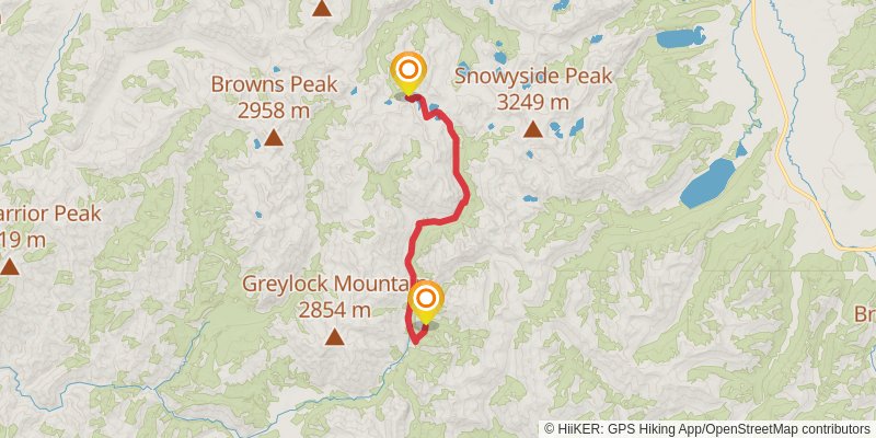
Starting at: Rock Slide Lake, Lowman, Boise County, 83637
Ending at: Atlanta, Elmore County, 83601
Distance: 19.4 km
Elevation gain: 374 m
Duration: 04:30:46
stage 64
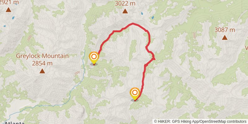
Starting at: Elmore County, 83601
Ending at: Fairfield, Camas County, 83327
Distance: 15.0 km
Elevation gain: 901 m
Duration: 04:30:12
stage 65
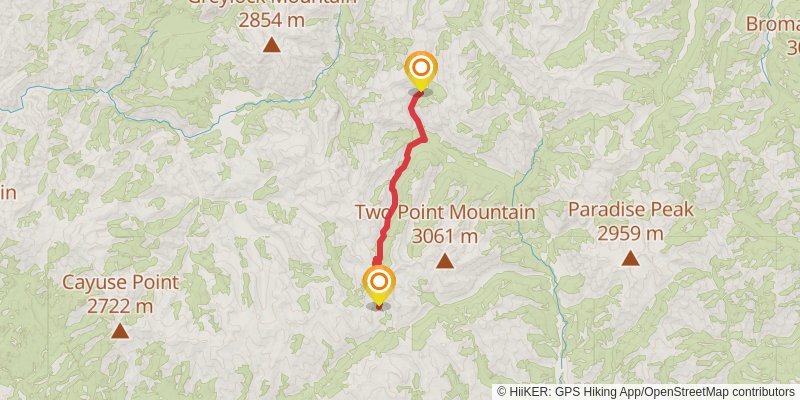
Starting at: Camas County, 83327
Ending at: Mountain Home, Elmore County, 83647
Distance: 15.3 km
Elevation gain: 869 m
Duration: 04:30:12
stage 66
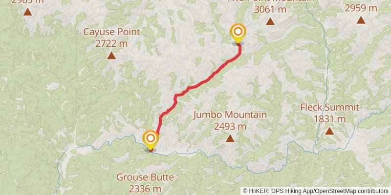
Starting at: Elmore County, 83647
Ending at: Mountain Home, Elmore County, 83647
Distance: 18.6 km
Elevation gain: 243 m
Duration: 04:07:04
stage 67
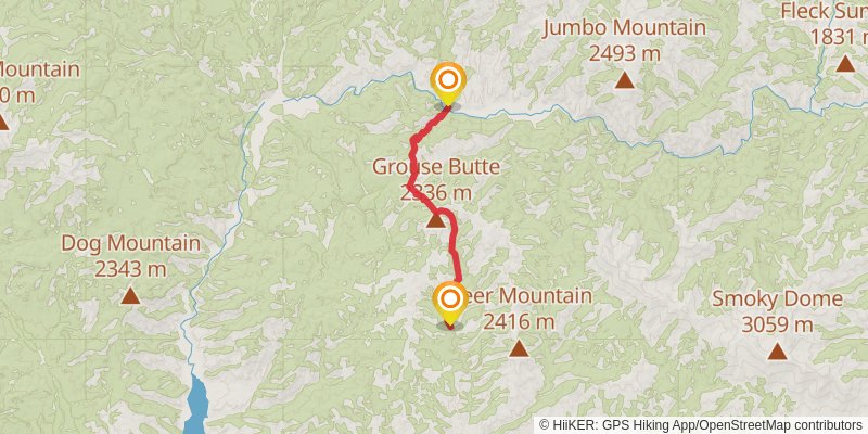
Starting at: Mountain Home, Elmore County, 83647
Ending at: Elmore County, 83647
Distance: 15.4 km
Elevation gain: 1094 m
Duration: 04:54:46
stage 68
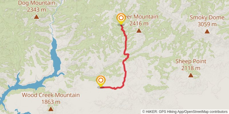
Starting at: Elmore County, 83647
Ending at: Elmore County, 83647
Distance: 19.2 km
Elevation gain: 402 m
Duration: 04:30:20
stage 69
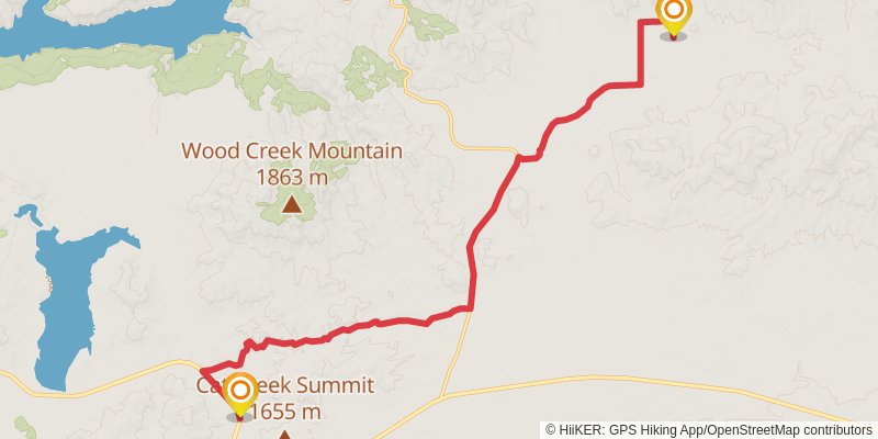
Starting at: Elmore County, 83647
Ending at: Hill City, Elmore County, 83337
Distance: 20.5 km
Elevation gain: 241 m
Duration: 04:30:18
stage 70
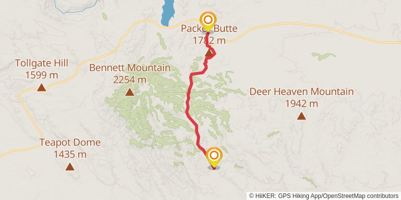
Starting at: Hill City, Elmore County, 83337
Ending at: King Hill, Elmore County, 83633
Distance: 19.0 km
Elevation gain: 430 m
Duration: 04:30:40
stage 71
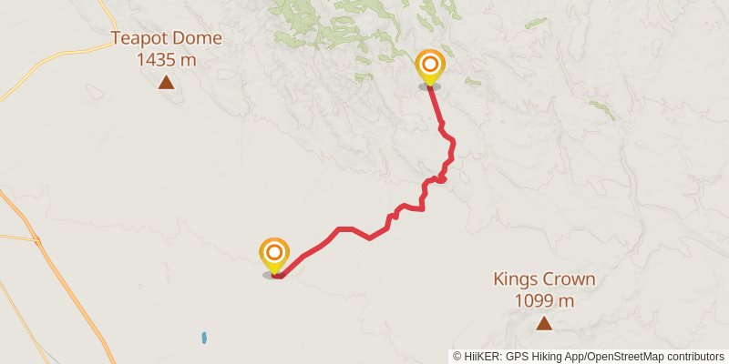
Starting at: King Hill, Elmore County, 83633
Ending at: Glenns Ferry, Elmore County, 83623
Distance: 21.3 km
Elevation gain: 144 m
Duration: 04:30:15
stage 72
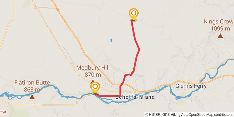
Starting at: Glenns Ferry, Elmore County, 83623
Ending at: Hammett, Elmore County, 83627
Distance: 22.0 km
Elevation gain: 67 m
Duration: 04:30:35
stage 73
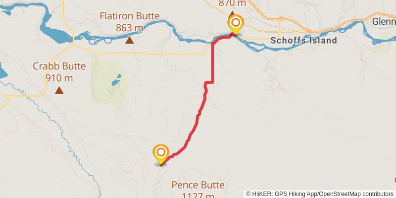
Starting at: Hammett, Elmore County, 83627
Ending at: Owyhee County
Distance: 19.8 km
Elevation gain: 325 m
Duration: 04:30:18
stage 74
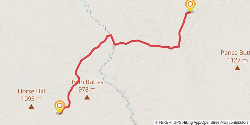
Starting at: Owyhee County
Ending at: Owyhee County, 83604
Distance: 20.1 km
Elevation gain: 287 m
Duration: 04:30:23
stage 75
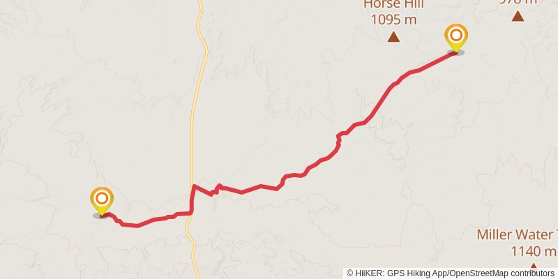
Starting at: Owyhee County, 83604
Ending at: Owyhee County
Distance: 18.7 km
Elevation gain: 462 m
Duration: 04:31:12
stage 76
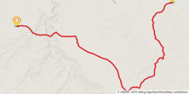
Starting at: Owyhee County
Ending at: Owyhee County
Distance: 17.0 km
Elevation gain: 668 m
Duration: 04:30:46
stage 77
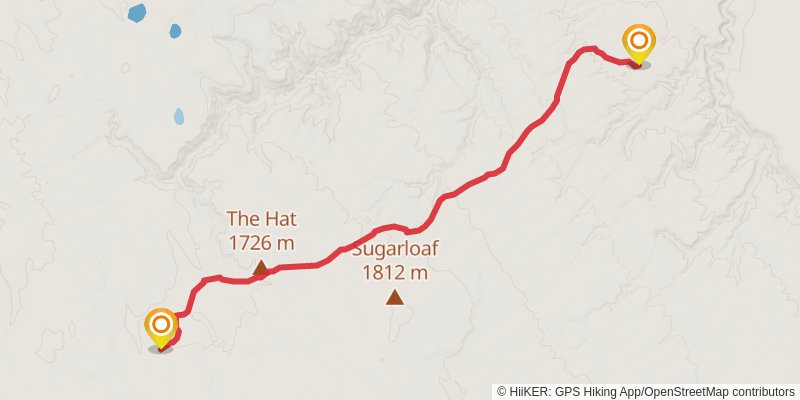
Starting at: Owyhee County
Ending at: Collier Place, Owyhee County
Distance: 18.2 km
Elevation gain: 518 m
Duration: 04:30:27
stage 78
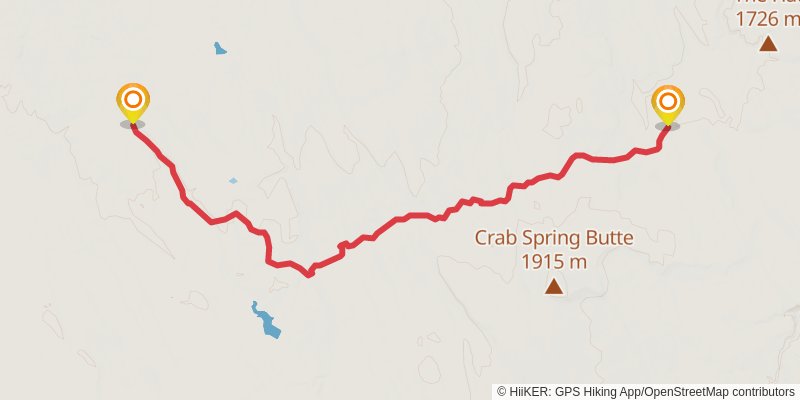
Starting at: Owyhee County
Ending at: Owyhee County
Distance: 20.4 km
Elevation gain: 256 m
Duration: 04:30:55
stage 79
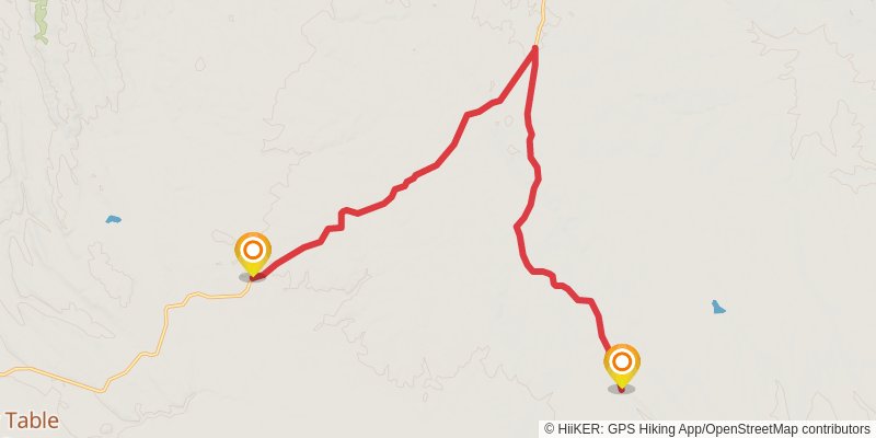
Starting at: Owyhee County
Ending at: Murphy, Owyhee County, 83650
Distance: 20.7 km
Elevation gain: 218 m
Duration: 04:30:15
stage 80
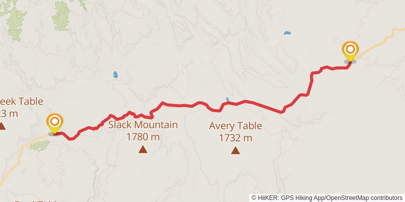
Starting at: Murphy, Owyhee County, 83650
Ending at: Murphy, Owyhee County, 83650
Distance: 21.0 km
Elevation gain: 191 m
Duration: 04:31:13
stage 81
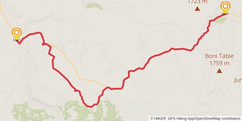
Starting at: Murphy, Owyhee County, 83650
Ending at: Murphy, Owyhee County, 83650
Distance: 30.4 km
Elevation gain: 444 m
Duration: 06:48:39
stage 82
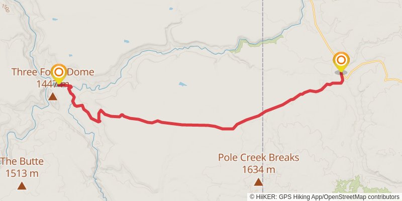
Starting at: Murphy, Owyhee County, 83650
Ending at: Jordan Valley, Malheur County, 97910
Distance: 20.0 km
Elevation gain: 101 m
Duration: 04:09:50
stage 83
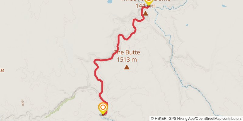
Starting at: Malheur County, 97910
Ending at: Malheur County, 97910
Distance: 16.5 km
Elevation gain: 180 m
Duration: 03:36:11
stage 84
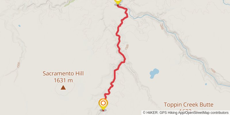
Starting at: Malheur County, 97910
Ending at: Malheur County, 97910
Distance: 13.9 km
Elevation gain: 410 m
Duration: 03:28:04
stage 85
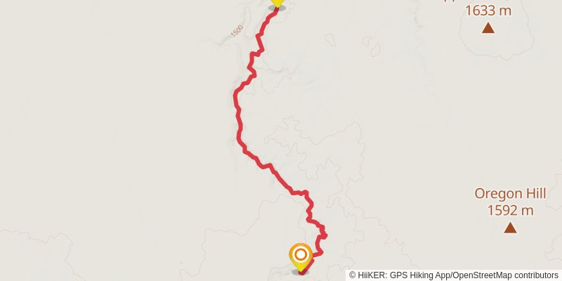
Starting at: Malheur County, 97910
Ending at: Malheur County, 97910
Distance: 15.7 km
Elevation gain: 814 m
Duration: 04:30:14
stage 86
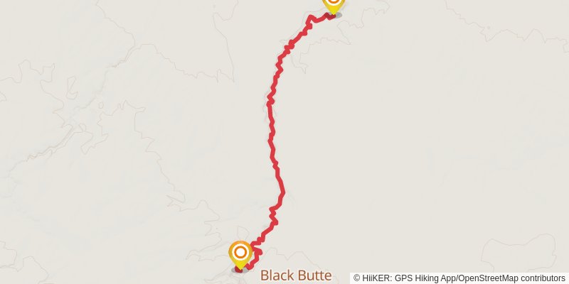
Starting at: Malheur County, 97910
Ending at: Malheur County, 97910
Distance: 16.3 km
Elevation gain: 747 m
Duration: 04:30:21
stage 87
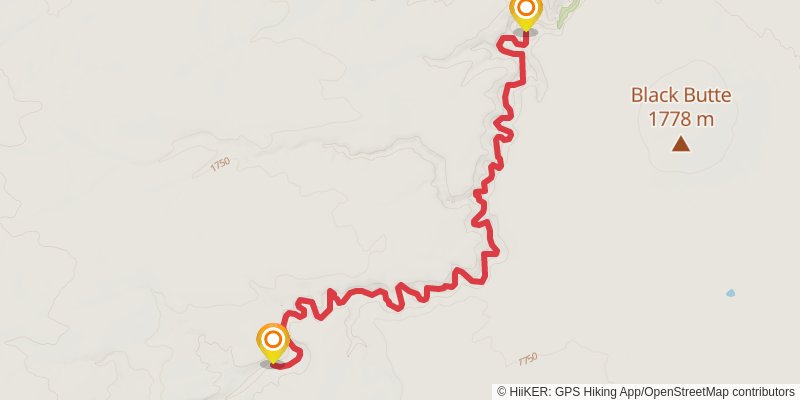
Starting at: Malheur County, 97910
Ending at: Malheur County, 97910
Distance: 11.8 km
Elevation gain: 425 m
Duration: 03:03:48
stage 88
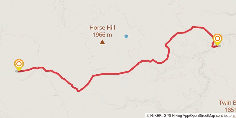
Starting at: Malheur County, 97910
Ending at: Malheur County, 97910
Distance: 26.0 km
Elevation gain: 487 m
Duration: 06:00:17
stage 89
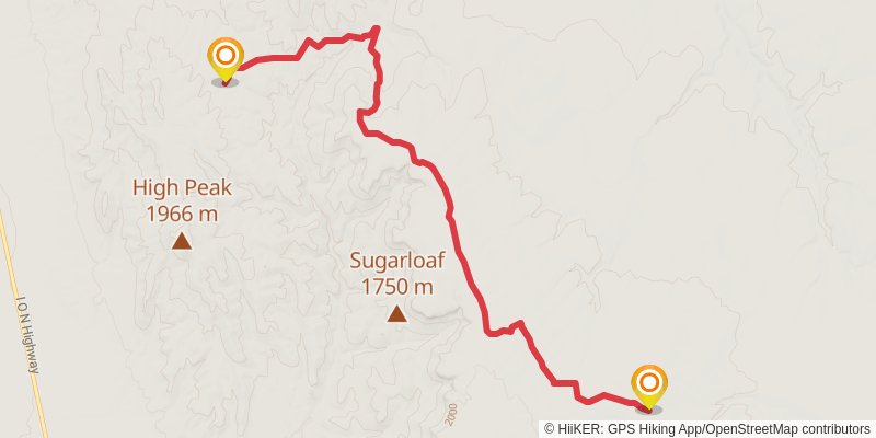
Starting at: Malheur County, 97910
Ending at: Malheur County, 89421
Distance: 20.9 km
Elevation gain: 218 m
Duration: 04:32:57
stage 90
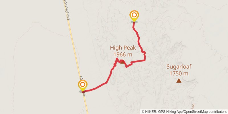
Starting at: Malheur County, 89421
Ending at: Mc Dermitt, Malheur County, 89421
Distance: 19.4 km
Elevation gain: 444 m
Duration: 04:37:42