The best hikes in Spree-Neiße - Sprjewja-Nysa
Germany · 29 HiiKER Hikes
View Hikes on map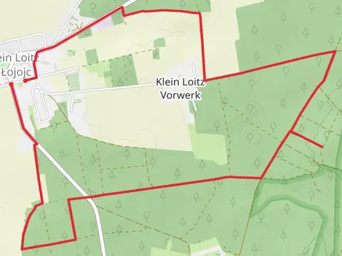
What to expect
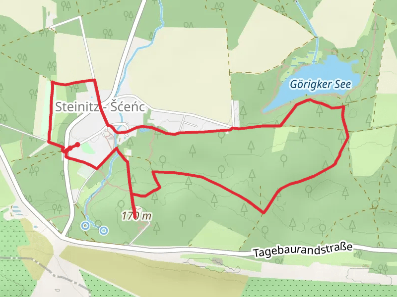
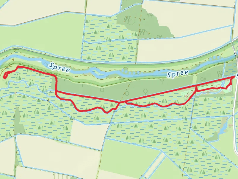
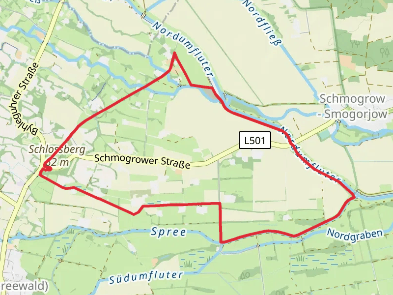
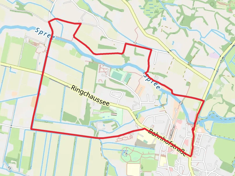
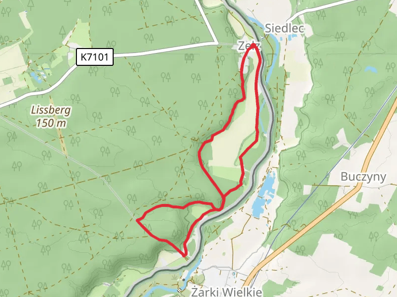
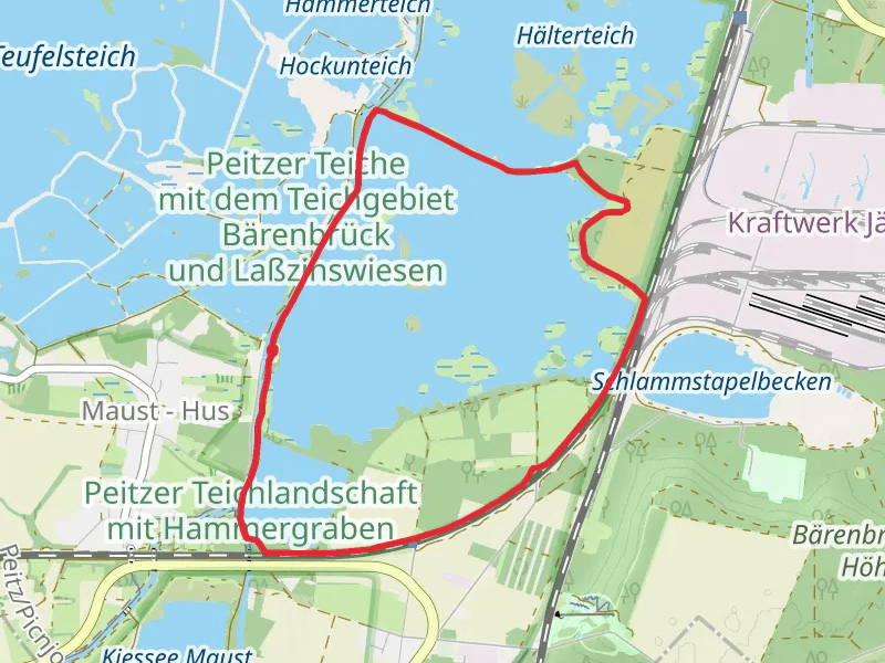
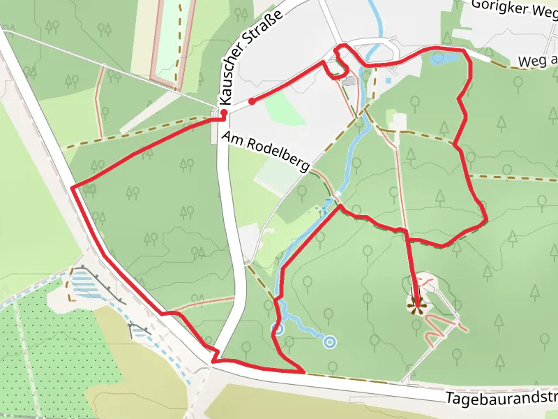
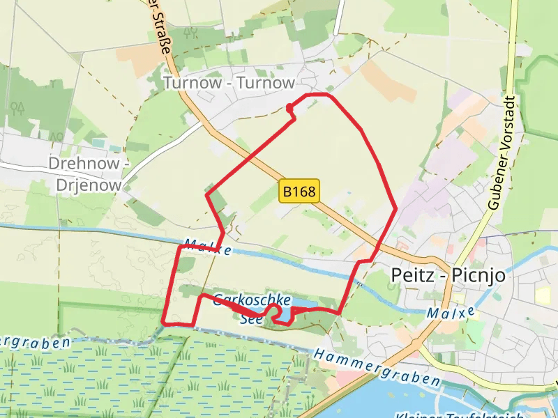
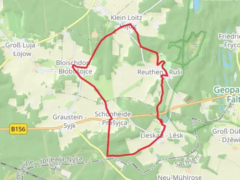
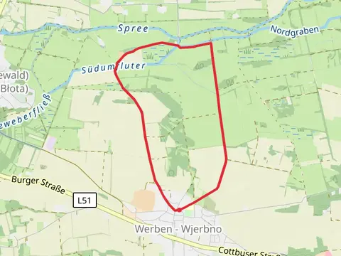
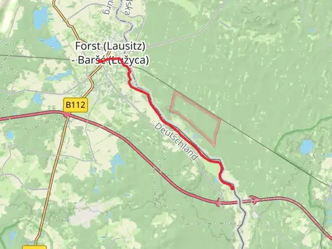
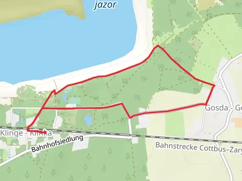
Check out some of the best hiking, walking and backpacking routes in Spree-Neiße - Sprjewja-Nysa, Germany. The Wassermuhle Loop via Rundwanderweg Schmogrow is the most popular trail. The trails have 31 user reviews with great photos and information. There are trails of various difficulty levels including easy and medium. The trail with the highest elevation climb is the Lieskau Lesk and Klein Loitz Lojojc Loop and the trail with the least amount of climbing is the Spree via Rundwanderweg Kauper. The longest trail is the Lieskau Lesk and Klein Loitz Lojojc Loop at 16.0 km. For a shorter adventure you can try the Steinitzer Hof and Steinitzer Treppe Loop at 3.2 km. Get off line access to History, Town, Shelter, and Viewpoint locations and much more with a Hiiker subscription.

Be prepared for hiking in Germany with the HiiKER app