The best hikes in Schwarzwald-Baar-Kreis
Germany · 47 HiiKER Hikes
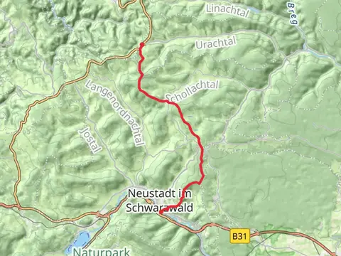
View Hikes on map
What to expect
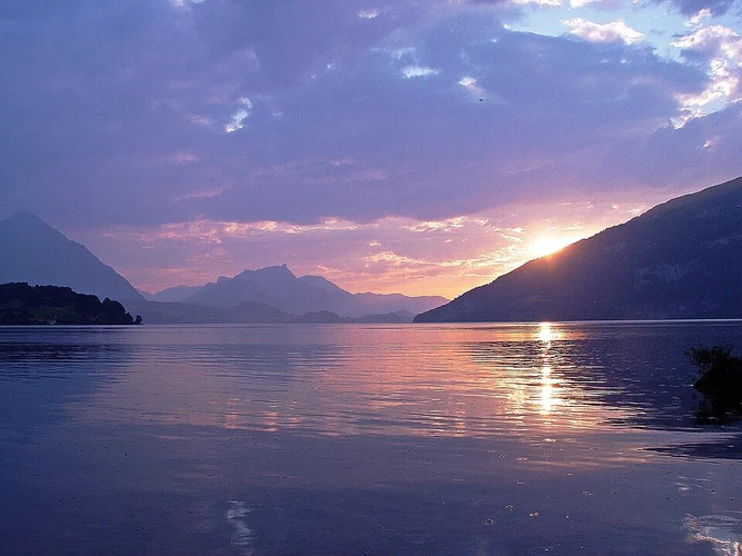
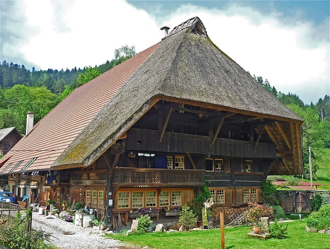
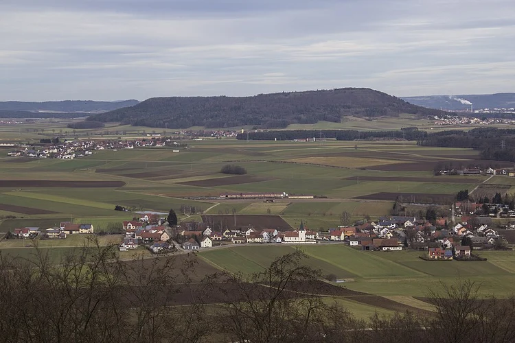
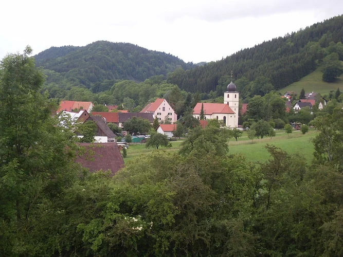
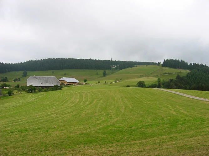
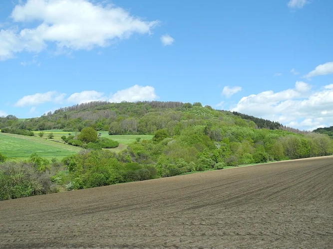
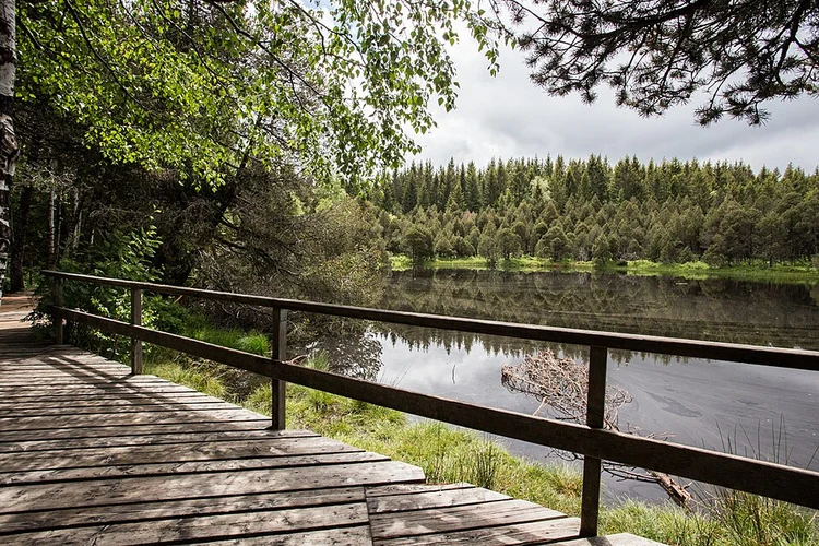
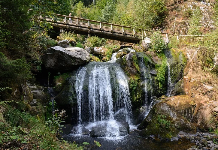
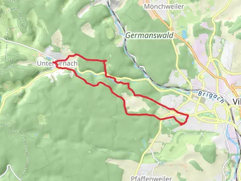
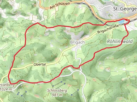
Check out some of the best hiking, walking and backpacking routes in Schwarzwald-Baar-Kreis, Germany. The Camino Blumberg-Geneva via Winterthur is the most popular trail. The trails have 140 user reviews with great photos and information. There are trails of various difficulty levels including easy, medium, difficult, and extra difficult. The trail with the highest elevation climb is the Camino Blumberg-Geneva via Frauenfeld and the trail with the least amount of climbing is the Donaueschingen Loop via Riedsee. The longest trail is the Camino Blumberg-Geneva via Frauenfeld at 493.9 km. For a shorter adventure you can try the Waldcafeweg at 1.7 km. Get off line access to Restaurant, information, Shelter, and parking locations and much more with a Hiiker subscription.

Be prepared for hiking in Germany with the HiiKER app