14.8 km
~3 hrs 33 min
363 m
“Embark on the Thalmaessing Loop for a scenic and historical 15 km hike through Bavaria's heartland.”
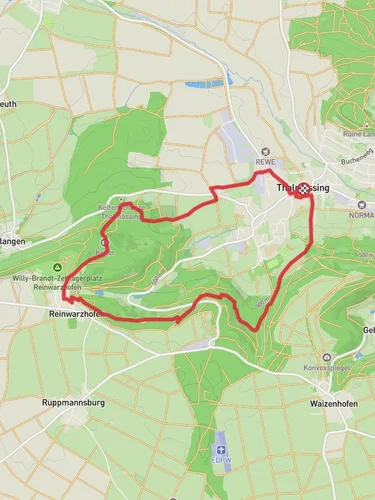
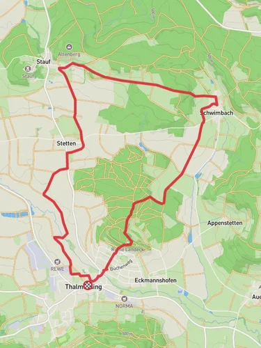
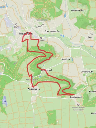
Starting near the charming town of Roth, Germany, the Thalmaessing Loop is a delightful 15 km (approximately 9.3 miles) trail with an elevation gain of around 300 meters (about 984 feet). This loop trail is rated as medium difficulty, making it suitable for moderately experienced hikers.
### Getting There To reach the trailhead, you can either drive or use public transport. If driving, set your GPS to Roth, Germany, and follow the signs to the trailhead near the town center. For those using public transport, take a train to Roth station and then a local bus or taxi to the trailhead.
### Trail Overview The Thalmaessing Loop offers a diverse hiking experience, winding through lush forests, open meadows, and picturesque villages. The trail is well-marked, but it's always a good idea to have a reliable navigation tool like HiiKER to ensure you stay on track.
### Key Landmarks and Points of Interest - Rothsee Lake: About 3 km (1.9 miles) into the hike, you'll come across Rothsee Lake, a serene spot perfect for a short break. The lake is a popular destination for birdwatchers, so keep an eye out for various species of waterfowl. - Thalmaessing Village: Around the halfway point, you'll pass through the quaint village of Thalmaessing. This village is steeped in history, with its roots dating back to the medieval period. Take a moment to explore the old church and traditional Bavarian architecture. - Burgstall Castle Ruins: Approximately 10 km (6.2 miles) into the hike, you'll encounter the ruins of Burgstall Castle. This site offers a glimpse into the region's feudal past and provides a fantastic vantage point for panoramic views of the surrounding countryside.
### Flora and Fauna The trail is rich in biodiversity. In the forested sections, you'll find a variety of tree species, including oak, beech, and pine. The meadows are dotted with wildflowers, especially vibrant in the spring and summer months. Wildlife enthusiasts might spot deer, foxes, and a variety of bird species along the way.
### Elevation and Terrain The trail features a moderate elevation gain of around 300 meters (984 feet), with a few steep sections that require careful footing. The terrain varies from well-trodden paths to rocky outcrops, so sturdy hiking boots are recommended.
### Practical Tips - Water and Snacks: There are limited facilities along the trail, so bring enough water and snacks to sustain you for the entire hike. - Weather: Check the weather forecast before you set out. The trail can become slippery in wet conditions, and certain sections may be more challenging during winter. - Navigation: While the trail is well-marked, using HiiKER can provide additional peace of mind and help you navigate any tricky sections.
### Historical Significance The region around Roth and Thalmaessing is rich in history. The area has been inhabited since the Roman times, and you may come across ancient relics and historical markers along the trail. The Burgstall Castle ruins are a testament to the region's medieval past, offering a tangible connection to the history that shaped this beautiful landscape.
Embarking on the Thalmaessing Loop is not just a hike; it's a journey through time and nature, offering a well-rounded experience for those looking to explore the heart of Bavaria.
Reviews
User comments, reviews and discussions about the Thalmaessing Loop, Germany.
5.0
average rating out of 5
1 rating(s)


