14.1 km
~2 hrs 55 min
62 m
“Explore serene landscapes, historic Kerpen Castle, and diverse wildlife on the accessible 14 km Boisdorfer See loop.”
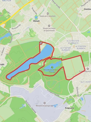
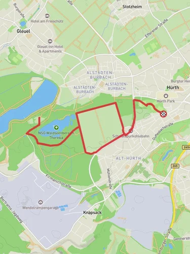
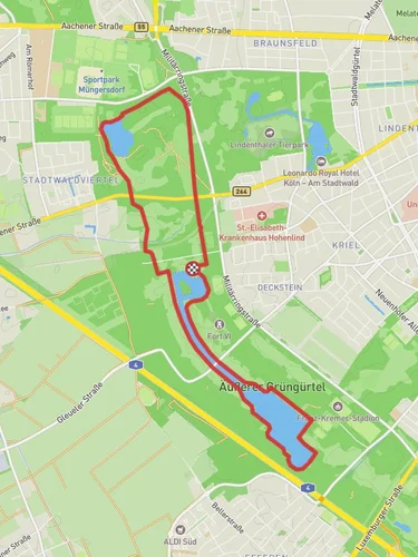
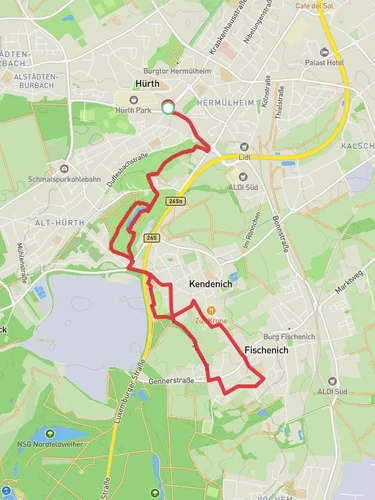
Starting near Rhein-Erft-Kreis, Germany, the Boisdorfer See via Kerpen Rundweg is a delightful 14 km (approximately 8.7 miles) loop trail with virtually no elevation gain, making it accessible for a wide range of hikers. The trailhead is conveniently located near the town of Kerpen, which is easily accessible by both car and public transport. If you're driving, you can park near the Kerpen train station. For those using public transport, take a train to Kerpen station and walk a short distance to the trailhead.
### Trail Overview
The trail begins with a gentle walk through the picturesque landscapes of the Rhein-Erft-Kreis region. As you set off, you'll be greeted by the serene views of the Boisdorfer See, a beautiful lake that serves as a focal point for the hike. The lake is a popular spot for birdwatching, so keep your binoculars handy to spot various species of waterfowl and other birds.
### Key Landmarks and Points of Interest
Boisdorfer See: At around the 2 km (1.2 miles) mark, you'll reach the shores of Boisdorfer See. This is an excellent spot to take a break, enjoy a picnic, or simply soak in the tranquil atmosphere. The lake is surrounded by lush greenery and offers plenty of opportunities for photography.
Kerpen Castle: Approximately 5 km (3.1 miles) into the hike, you'll come across the historic Kerpen Castle. This medieval castle, dating back to the 12th century, is a significant landmark in the region. Although the castle itself is not open to the public, the surrounding grounds are perfect for a leisurely stroll and offer a glimpse into the area's rich history.
Nature and Wildlife: The trail meanders through a variety of landscapes, including dense forests, open meadows, and wetlands. This diversity of habitats supports a wide range of flora and fauna. Look out for deer, foxes, and a variety of bird species as you make your way through the trail.
### Navigation and Safety
The Boisdorfer See via Kerpen Rundweg is well-marked with signs and trail markers, but it's always a good idea to have a reliable navigation tool. The HiiKER app is highly recommended for this purpose, as it provides detailed maps and real-time GPS tracking to ensure you stay on the right path.
### Historical Significance
The region around Kerpen has a rich history that dates back to Roman times. The town of Kerpen itself has been a significant settlement for centuries, and its historical landmarks, such as Kerpen Castle, offer a glimpse into its storied past. As you hike, you'll pass through areas that have been inhabited for millennia, adding a layer of historical intrigue to your journey.
### Getting There
To reach the trailhead, you can take a train to Kerpen station, which is well-connected to major cities like Cologne and Aachen. From the station, it's a short walk to the start of the trail. If you're driving, you can park near the Kerpen train station, where ample parking is available.
### Final Stretch
As you near the end of the loop, the trail will bring you back to the starting point near Kerpen. This final stretch offers more scenic views and a chance to reflect on the diverse landscapes and historical landmarks you've encountered along the way.
Reviews
User comments, reviews and discussions about the Boisdorfer See via Kerpen Rundweg, Germany.
0.0
average rating out of 5
0 rating(s)


