The best hikes in Ostholstein
Germany · 44 HiiKER Hikes
View Hikes on map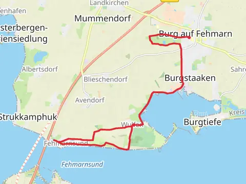
What to expect
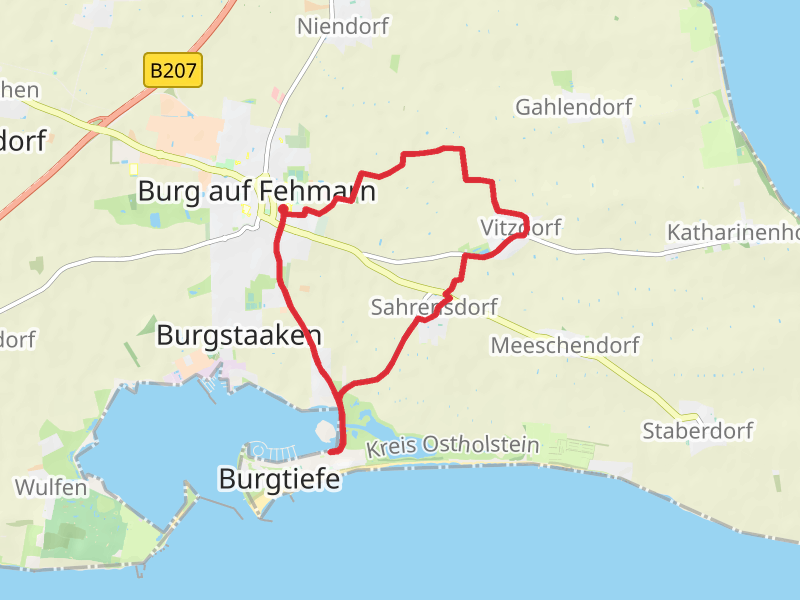
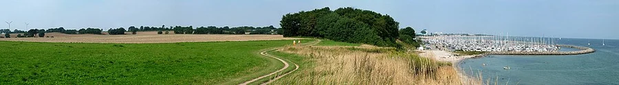
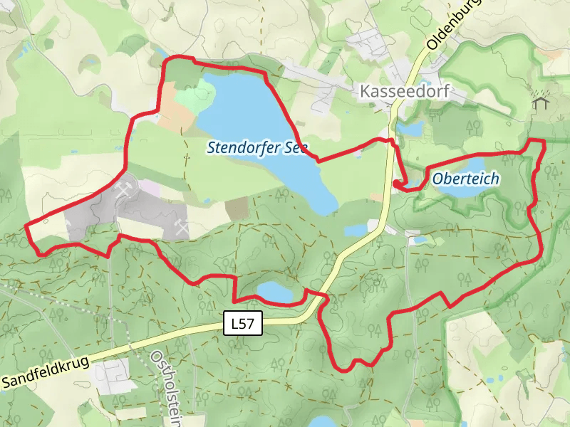
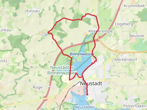
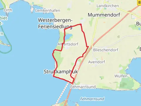
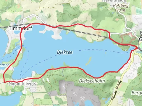
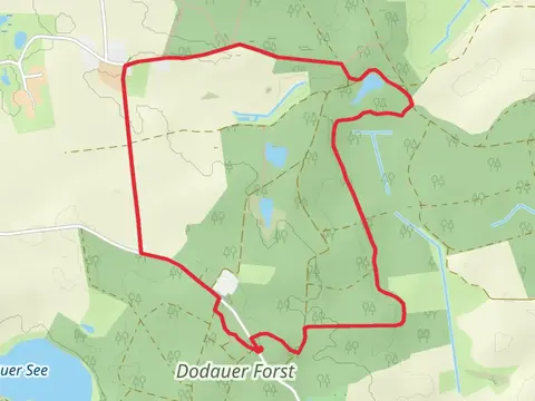
Check out some of the best hiking, walking and backpacking routes in Ostholstein, Germany. The NSG Naturschutzgebiet Wallnau-Fehmarn - Flügge is the most popular trail. The trails have 89 user reviews with great photos and information. The trail with the highest elevation climb is the Stendorfer See and Oberteich via Kasseedorfer Seen and the trail with the least amount of climbing is the NSG Naturschutzgebiet Wallnau-Fehmarn - Flügge. The longest trail is the Kellersee and Grober Eutiner See Loop - Fissau at 18.3 km. For a shorter adventure you can try the Cismar Route and Nordic Beach Walk at 4.9 km. Get off line access to Town, Shop, parking, and Restaurant locations and much more with a Hiiker subscription.

Be prepared for hiking in Germany with the HiiKER app