11.1 km
~2 hrs 28 min
155 m
“Explore scenic landscapes, historical relics, and moderate climbs on the picturesque Wernfeld to Mühlbach Walk.”
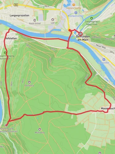
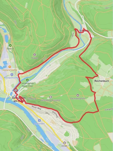
Starting near Main-Spessart, Germany, the Wernfeld to Mühlbach Walk spans approximately 11 km (6.8 miles) with an elevation gain of around 100 meters (328 feet). This point-to-point trail is estimated to be of medium difficulty, making it suitable for moderately experienced hikers.
### Getting There To reach the trailhead, you can either drive or use public transportation. If driving, set your GPS to Wernfeld, a small village in the Main-Spessart district. For those using public transport, take a train to the Wernfeld station, which is well-connected via regional trains from major cities like Würzburg and Frankfurt. From the station, the trailhead is just a short walk away.
### Trail Overview The trail begins in Wernfeld, a quaint village known for its picturesque landscapes and traditional German architecture. As you start your hike, you'll be greeted by the serene views of the Main River, which flows gently alongside the initial part of the trail. The first 2 km (1.2 miles) are relatively flat, making for an easy warm-up.
### Nature and Wildlife As you progress, the trail meanders through lush forests and open meadows. Keep an eye out for local wildlife such as deer, foxes, and a variety of bird species. The forested sections are particularly beautiful in the autumn when the leaves turn vibrant shades of red and gold.
### Historical Significance Around the 5 km (3.1 miles) mark, you'll come across the remnants of an old Roman road. This ancient pathway is a testament to the region's rich history, dating back to the Roman Empire. Take a moment to appreciate the historical significance of this site before continuing your journey.
### Midway Point: Schönrain At approximately 6 km (3.7 miles), you'll reach the small hamlet of Schönrain. This is a great spot to take a break, enjoy a packed lunch, and perhaps chat with some of the friendly locals. The area is known for its traditional Bavarian hospitality, and you might even find a local café to grab a quick coffee.
### Elevation Gain The next section of the trail involves a gradual ascent, gaining about 100 meters (328 feet) in elevation over the next 3 km (1.9 miles). This part of the hike offers stunning panoramic views of the surrounding countryside, making the climb well worth the effort.
### Final Stretch to Mühlbach As you descend towards Mühlbach, the trail becomes easier, allowing you to enjoy the final 2 km (1.2 miles) at a leisurely pace. The village of Mühlbach is known for its charming half-timbered houses and peaceful atmosphere. The trail officially ends near the Mühlbach train station, where you can catch a train back to your starting point or onward to other destinations.
### Navigation For navigation, it's highly recommended to use the HiiKER app, which provides detailed maps and real-time updates to ensure you stay on track. The app is particularly useful for identifying key landmarks and making sure you don't miss any points of interest along the way.
This trail offers a perfect blend of natural beauty, historical intrigue, and moderate physical challenge, making it a rewarding experience for any hiker.
Reviews
User comments, reviews and discussions about the Wernfeld to Mühlbach Walk, Germany.
4.0
average rating out of 5
1 rating(s)


