10.0 km
~2 hrs 30 min
306 m
“Explore the Krombacher Wald Loop: a 10 km trail with stunning views, wildlife, and historical landmarks.”
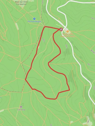
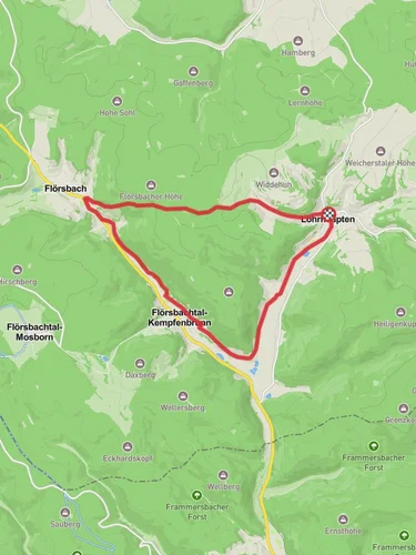
Starting near Main-Spessart, Germany, the Krombacher Wald, Rengersbrunn and Schanzkopf Loop is a captivating 10 km (6.2 miles) trail with an elevation gain of approximately 300 meters (984 feet). This loop trail is rated as medium difficulty, making it suitable for moderately experienced hikers.
### Getting There To reach the trailhead, you can drive or use public transport. If driving, set your GPS to Main-Spessart, Germany, and look for parking near the village of Rengersbrunn. For public transport, take a train to the nearest major station in Lohr am Main and then a local bus to Rengersbrunn. From there, it's a short walk to the trailhead.
### Trail Overview The trail begins in the lush Krombacher Wald, a forested area known for its dense canopy and diverse flora. As you start your hike, you'll be greeted by towering beech and oak trees, providing ample shade and a serene atmosphere. The initial 2 km (1.2 miles) are relatively flat, allowing you to ease into the hike while enjoying the sounds of chirping birds and rustling leaves.
### Key Landmarks and Elevation At around the 3 km (1.9 miles) mark, you'll reach the first significant ascent, gaining approximately 100 meters (328 feet) in elevation. This section can be a bit challenging, but the effort is rewarded with stunning views of the surrounding Spessart hills. Keep an eye out for the occasional deer or wild boar, as this area is rich in wildlife.
### Historical Significance As you approach the village of Rengersbrunn, you'll encounter historical landmarks that tell the story of the region. The village itself dates back to medieval times and features charming half-timbered houses and a quaint church. Take a moment to explore the village and perhaps enjoy a snack at a local café.
### Schanzkopf Summit Continuing on, the trail leads you to the Schanzkopf summit, the highest point of the hike at around 5 km (3.1 miles). Here, you'll gain another 150 meters (492 feet) in elevation. The summit offers panoramic views of the Spessart forest and is an excellent spot for a rest and some photography. The area is also known for its historical significance, as it was once a strategic lookout point during various regional conflicts.
### Descent and Return The descent begins after the Schanzkopf summit, with the trail winding back through dense forest and gradually losing elevation. This section is about 4 km (2.5 miles) and features a mix of gentle slopes and flat terrain. Be cautious of loose rocks and roots, especially after rain, as the path can become slippery.
### Navigation and Safety For navigation, it's highly recommended to use the HiiKER app, which provides detailed maps and real-time updates. Ensure you have adequate water, snacks, and appropriate footwear, as the trail can be uneven in places. Always check the weather forecast before heading out, as conditions can change rapidly in the forested areas.
### Flora and Fauna Throughout the hike, you'll encounter a variety of plant species, including wildflowers, ferns, and mosses. The Spessart forest is also home to numerous bird species, so birdwatchers should bring binoculars. In the spring and summer, the forest floor is often carpeted with vibrant wildflowers, adding a splash of color to your journey.
This loop trail offers a perfect blend of natural beauty, historical intrigue, and moderate physical challenge, making it a rewarding experience for any hiker.
Reviews
User comments, reviews and discussions about the Krombacher Wald, Rengersbrunn and Schanzkopf Loop, Germany.
5.0
average rating out of 5
3 rating(s)


