13.9 km
~3 hrs 12 min
256 m
“Explore lush forests, panoramic views, historical ruins, and Main River vistas on this 14 km Spessart hike.”
Starting near Main-Spessart, Germany, this 14 km (8.7 miles) loop trail offers a moderate challenge with an elevation gain of approximately 200 meters (656 feet). The trailhead is conveniently accessible by both car and public transport. If you're driving, you can park near the town of Gemünden am Main, which is the closest significant landmark. For those using public transport, Gemünden am Main is well-connected by train, making it a convenient starting point.
Trail Overview
The trail begins with a gentle ascent through the lush forests of the Spessart region. As you make your way up, you'll be surrounded by a mix of deciduous and coniferous trees, providing a rich tapestry of greens in the spring and summer, and a stunning array of colors in the fall. The initial 3 km (1.9 miles) will take you through this serene woodland, gradually gaining about 100 meters (328 feet) in elevation.
Himmelreich and Bettingberg
Around the 4 km (2.5 miles) mark, you'll reach the Himmelreich area. This section offers panoramic views of the surrounding valleys and hills, making it a perfect spot for a short break and some photography. The trail then continues towards Bettingberg, another highlight of the hike. Here, you'll encounter a mix of open meadows and forested areas, providing a diverse hiking experience. Keep an eye out for local wildlife such as deer, foxes, and a variety of bird species that inhabit this region.
Historical Significance
As you approach the halfway point of the trail, you'll come across remnants of historical significance. The Spessart region has a rich history dating back to medieval times, and you may notice old stone markers and ruins along the way. These are remnants of ancient trade routes and settlements that once thrived in this area. Take a moment to appreciate the historical context and imagine the lives of those who once traversed these paths.
Main River Views
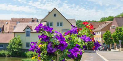
The latter part of the trail brings you closer to the Main River. Around the 10 km (6.2 miles) mark, you'll start descending towards the river, offering beautiful views of the water and the surrounding landscape. The descent is gradual, making it a pleasant end to the hike. As you near the end of the trail, you'll pass through charming villages and vineyards, adding a cultural touch to your hiking experience.
Navigation and Safety
Given the moderate difficulty of this trail, it's advisable to use a reliable navigation tool like HiiKER to ensure you stay on track. The trail is well-marked, but having a digital map can provide additional peace of mind. Make sure to carry enough water, especially during the warmer months, and wear appropriate footwear as some sections can be uneven.
This trail offers a perfect blend of natural beauty, historical intrigue, and moderate physical challenge, making it a rewarding experience for hikers of all levels.
Reviews
User comments, reviews and discussions about the Himmelreich, Bettingberg and Main via Heunweg, Germany.
5.0
average rating out of 5
4 rating(s)


