11.3 km
~2 hrs 38 min
235 m
“Quellenweg's 11 km loop immerses hikers in lush landscapes, historical ruins, and panoramic views.”
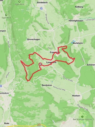
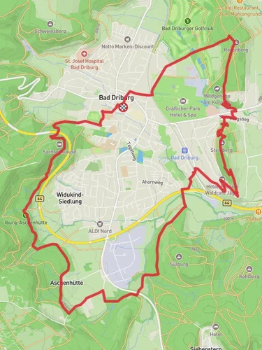
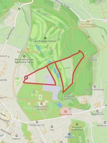
Starting near Kreis Paderborn, Germany, the Quellenweg trail offers a delightful 11 km (approximately 6.8 miles) loop with an elevation gain of around 200 meters (656 feet). This medium-difficulty trail is perfect for those looking to immerse themselves in the natural beauty and historical richness of the region.
### Getting There To reach the trailhead, you can either drive or use public transport. If driving, set your GPS to the nearest known address: Paderborner Land Golf Club, Thüle 10, 33154 Salzkotten, Germany. For those using public transport, take a train to Paderborn Central Station and then a local bus to Thüle, where the trailhead is a short walk away.
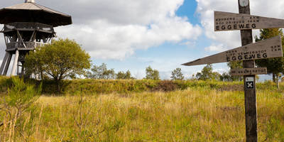
### Trail Highlights The Quellenweg trail is renowned for its lush landscapes, serene water sources, and historical landmarks. As you embark on this journey, you'll traverse through dense forests, open meadows, and along picturesque streams.
#### Natural Beauty Approximately 2 km (1.2 miles) into the hike, you'll encounter the first of several natural springs that give the trail its name. These springs are not only beautiful but also provide a refreshing spot to rest. The trail continues to wind through a mix of deciduous and coniferous forests, offering a diverse range of flora and fauna. Keep an eye out for local wildlife such as deer, foxes, and a variety of bird species.
#### Historical Significance Around the 5 km (3.1 miles) mark, you'll come across the ruins of an old mill, a testament to the region's historical reliance on water-powered industry. This site offers a glimpse into the past and is a great spot for a short break and some photography.
### Navigation and Safety The trail is well-marked, but it's always a good idea to have a reliable navigation tool. HiiKER is an excellent app for this purpose, providing detailed maps and real-time updates. The terrain is varied, with some sections being quite steep, so sturdy hiking boots are recommended.
### Points of Interest At approximately 8 km (5 miles), you'll reach a scenic viewpoint that offers panoramic views of the surrounding countryside. This is one of the highest points on the trail, with an elevation gain of about 150 meters (492 feet) from the start. It's a perfect spot to take in the beauty of the Paderborn region.
### Final Stretch The last 3 km (1.9 miles) of the trail lead you back through a series of gentle slopes and forested areas, eventually looping back to the starting point near the Paderborner Land Golf Club. This section is relatively easy, allowing you to cool down and reflect on the hike.
Whether you're a seasoned hiker or a nature enthusiast, the Quellenweg trail offers a rewarding experience filled with natural beauty, historical landmarks, and a touch of adventure.
Reviews
User comments, reviews and discussions about the Quellenweg, Germany.
0.0
average rating out of 5
0 rating(s)


