5.7 km
~1 hrs 20 min
117 m
“Explore the Oggenhausen trail: lush forests, historical Roman roads, and scenic views in a 6 km loop.”
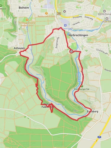
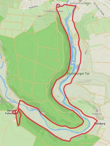
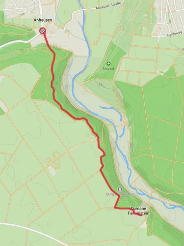
Starting near Heidenheim, Germany, the Oggenhausen trail is a delightful 6 km (approximately 3.7 miles) loop with an elevation gain of around 100 meters (328 feet). This medium-difficulty trail offers a mix of natural beauty and historical intrigue, making it a rewarding experience for hikers of various skill levels.
### Getting There To reach the trailhead, you can either drive or use public transport. If you're driving, set your GPS to Heidenheim, and look for parking near the outskirts of the town. For those using public transport, take a train to Heidenheim station. From there, you can catch a local bus or taxi to the trailhead, which is conveniently located near the town.
### Trail Navigation For navigation, it's highly recommended to use the HiiKER app, which provides detailed maps and real-time updates to ensure you stay on track.
### Trail Highlights As you begin your hike, you'll find yourself immersed in a lush forest setting. The initial part of the trail is relatively flat, making it a good warm-up. About 1 km (0.6 miles) in, you'll start to notice a gradual incline. The trail is well-marked, but keep an eye out for the occasional fork; your HiiKER app will be invaluable here.
### Flora and Fauna The Oggenhausen trail is rich in biodiversity. Expect to see a variety of trees, including oak, beech, and pine. During spring and summer, the forest floor is carpeted with wildflowers, adding a splash of color to your hike. Birdwatchers will be delighted by the presence of species like the European robin and the great tit. Small mammals such as squirrels and hares are also commonly spotted.
### Historical Significance Around the 3 km (1.8 miles) mark, you'll come across the remnants of an old Roman road. This area is steeped in history, as Heidenheim was once a Roman settlement. Take a moment to appreciate the ancient stones and imagine the countless travelers who once walked this path.
### Scenic Views As you reach the highest point of the trail, approximately 4 km (2.5 miles) in, you'll be rewarded with panoramic views of the surrounding countryside. This is a great spot to take a break, have a snack, and soak in the scenery. The elevation gain here is about 100 meters (328 feet), offering a moderate challenge without being too strenuous.
### Final Stretch The descent begins gradually, winding through more forested areas. The last 2 km (1.2 miles) of the trail are relatively easy, allowing you to cool down as you make your way back to the starting point. Along the way, you'll pass by a small stream, which adds a soothing soundtrack to your hike.
### Practical Tips - Wear sturdy hiking boots, as some sections can be uneven. - Bring water and snacks, especially if you plan to take breaks. - Check the weather forecast before you go; the trail can be slippery after rain. - Use the HiiKER app for navigation to ensure you stay on the correct path.
This trail offers a perfect blend of natural beauty, historical landmarks, and moderate physical challenge, making it a must-visit for any hiking enthusiast.
Reviews
User comments, reviews and discussions about the Oggenhausen, Germany.
4.0
average rating out of 5
1 rating(s)


