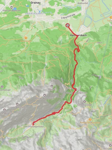
5.7 km
~1 hrs 20 min
113 m
“Explore Bavarian beauty and history on the 6 km Klima and Wasser im Wandel loop near Garmisch-Partenkirchen.”
Starting near the picturesque town of Garmisch-Partenkirchen, Germany, the Klima and Wasser im Wandel trail offers a fascinating 6 km (approximately 3.7 miles) loop with an elevation gain of around 100 meters (328 feet). This medium-difficulty trail provides a unique opportunity to explore the natural beauty and historical significance of the region.
### Getting There To reach the trailhead, you can either drive or use public transport. If driving, head towards Garmisch-Partenkirchen and look for parking near the town center or designated trail parking areas. For those using public transport, take a train to Garmisch-Partenkirchen station. From there, local buses or a short taxi ride can get you to the trailhead.
### Trail Highlights As you embark on this loop trail, you'll be immediately immersed in the lush Bavarian landscape. The trail is well-marked, but it's always a good idea to have a reliable navigation tool like HiiKER to ensure you stay on track.
#### Flora and Fauna The trail meanders through dense forests and open meadows, offering a diverse range of flora and fauna. Keep an eye out for native wildlife such as deer, foxes, and a variety of bird species. The changing seasons bring different plant life into bloom, making each hike a unique experience.
#### Historical Significance Garmisch-Partenkirchen is steeped in history, and this trail is no exception. As you hike, you'll come across several informational plaques detailing the region's historical and environmental changes. These markers provide insights into how the local climate and water sources have evolved over time, offering a deeper understanding of the area's natural history.
### Key Landmarks - Partnach Gorge (Partnachklamm): Approximately 2 km (1.2 miles) into the hike, you'll encounter the stunning Partnach Gorge. This natural wonder features towering rock walls and a rushing river, making it a must-see landmark on the trail. - Eckbauer Mountain: As you continue, you'll gradually ascend towards Eckbauer Mountain. The elevation gain here is around 100 meters (328 feet), offering panoramic views of the surrounding valleys and peaks. This is a great spot to take a break and soak in the scenery. - Historical Plaques: Scattered along the trail, these plaques provide valuable information about the region's climate history and water management practices. They serve as educational stops that enrich your hiking experience.
### Trail Conditions and Safety The trail is generally well-maintained, but it's essential to be prepared for varying conditions. Wear sturdy hiking boots, especially during wetter months when the path can become slippery. Carry enough water and snacks, as there are limited facilities along the route.
### Navigation While the trail is well-marked, using HiiKER can provide additional peace of mind. The app offers detailed maps and real-time navigation, ensuring you stay on the correct path throughout your hike.
### Final Stretch As you loop back towards Garmisch-Partenkirchen, the trail descends gently, offering a relaxing end to your hike. The final stretch takes you through serene meadows and forested areas, bringing you back to the trailhead where you started.
This trail offers a perfect blend of natural beauty, historical insight, and moderate physical challenge, making it an ideal choice for hikers looking to explore the Bavarian Alps.

Reviews
User comments, reviews and discussions about the Klima and Wasser im Wandel, Germany.
0.0
average rating out of 5
0 rating(s)