The best hikes in Fürstenfeldbruck
Germany · 13 HiiKER Hikes
View Hikes on map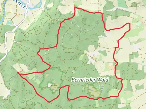
What to expect
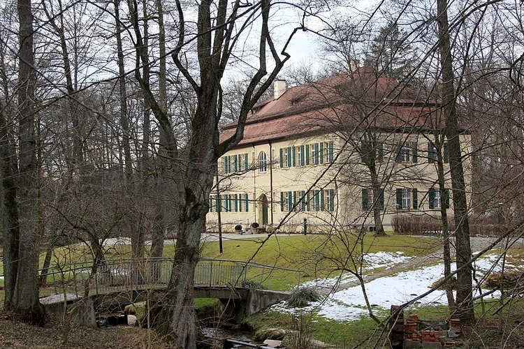
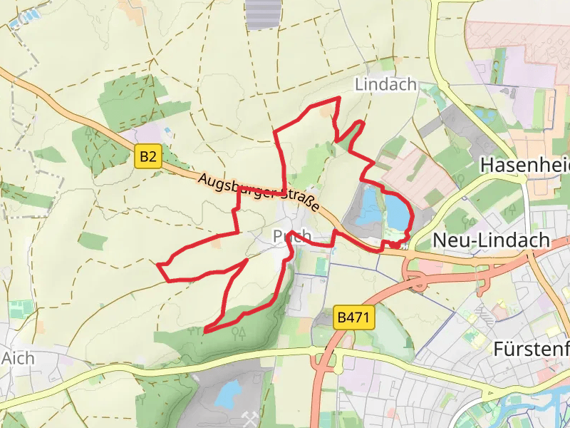
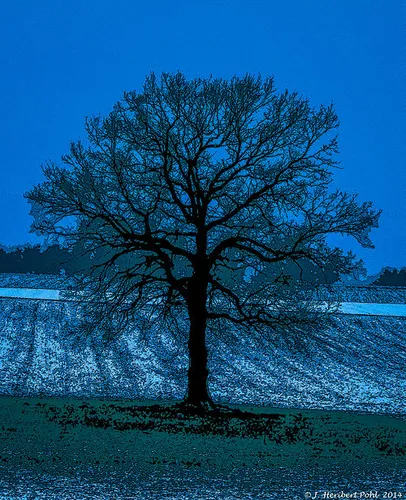
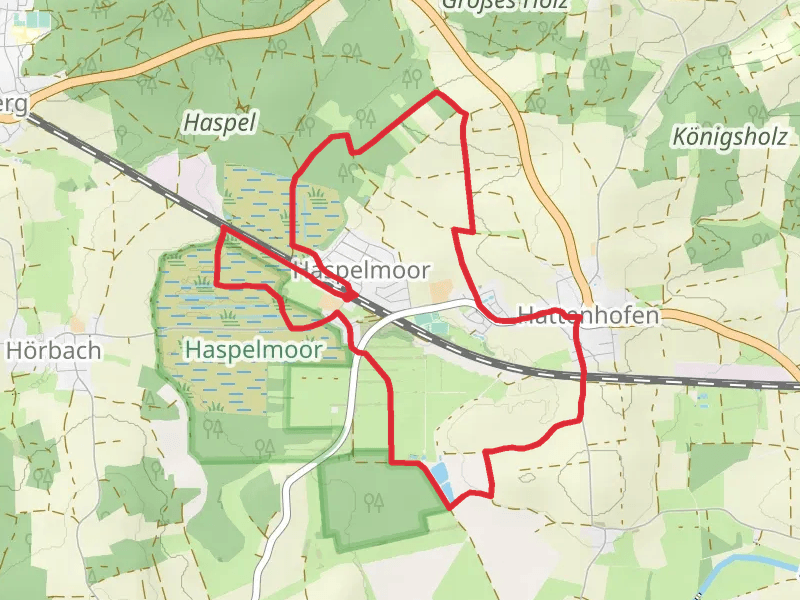
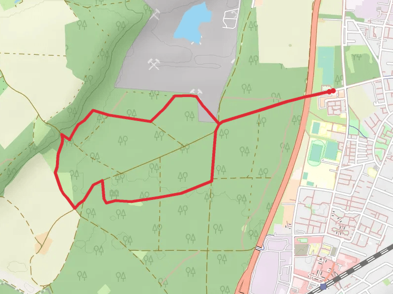
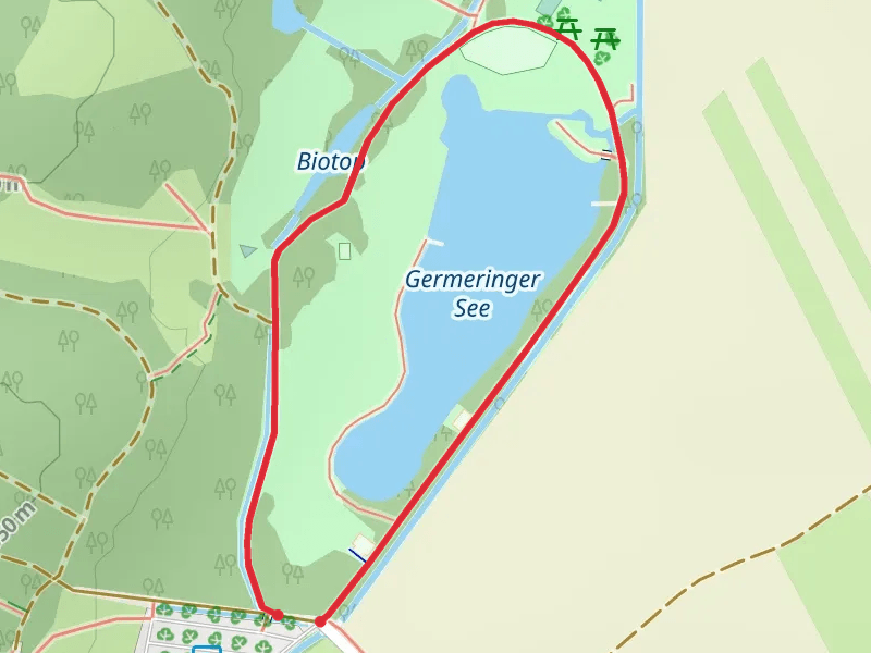
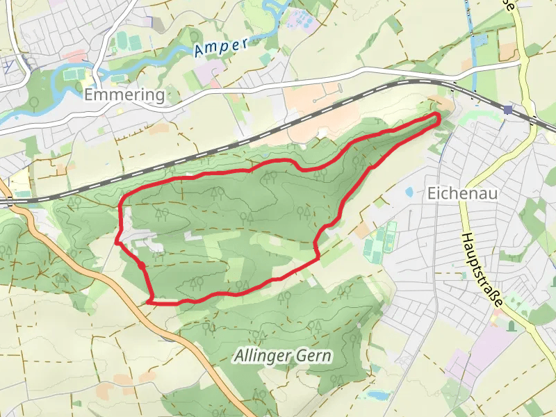
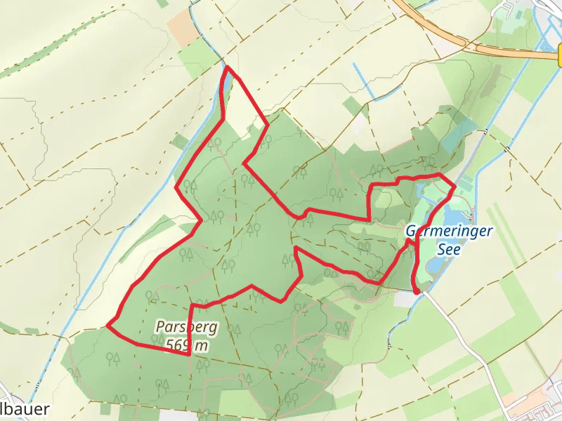
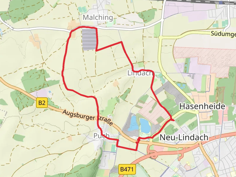
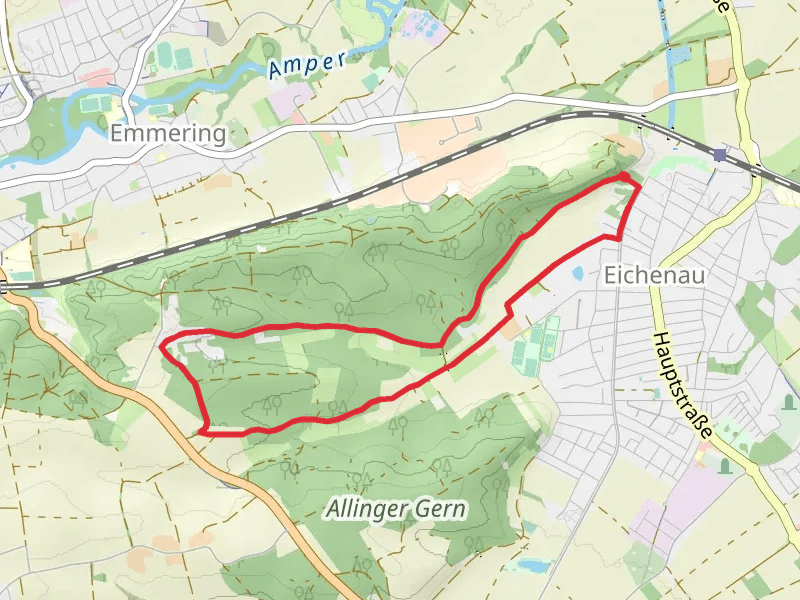
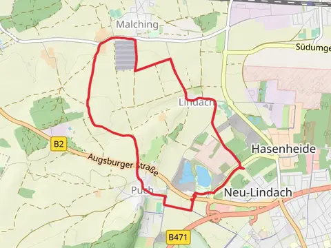
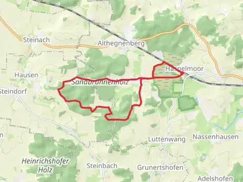
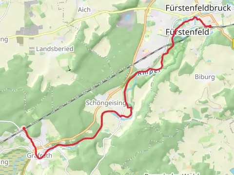
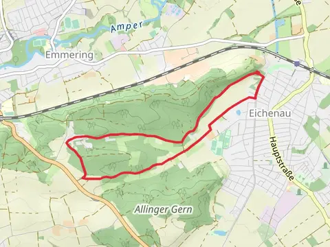
Check out some of the best hiking, walking and backpacking routes in Fürstenfeldbruck, Germany. The Munchener Berg, Engelsberg and Emmeringer Leite Loop via Heuweg is the most popular trail. The trails have 24 user reviews with great photos and information. There are trails of various difficulty levels including easy and medium. The trail with the highest elevation climb is the Bernrieder Wald and Gorbelmoos Loop and the trail with the least amount of climbing is the Germeringer Loop. The longest trail is the Bernrieder Wald and Gorbelmoos Loop at 15.2 km. For a shorter adventure you can try the Germeringer Loop at 1.1 km. Get off line access to Shop, Restaurant, parking, and Viewpoint locations and much more with a Hiiker subscription.

Be prepared for hiking in Germany with the HiiKER app