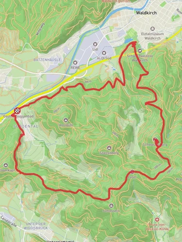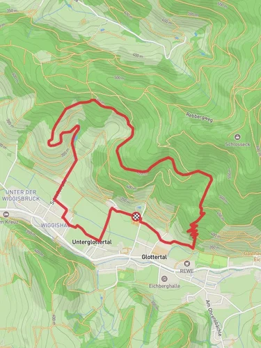
5.7 km
~1 hrs 49 min
415 m
“Experience a scenic, moderate 6 km hike blending lush forests, historical sites, and panoramic vistas near Emmendingen.”
Starting near Emmendingen, Germany, this 6 km (approximately 3.7 miles) loop trail offers a moderate challenge with an elevation gain of around 400 meters (about 1,312 feet). The trailhead is conveniently accessible by both public transport and car. If you're taking public transport, you can catch a train to Emmendingen and then a local bus to the nearest stop, which is a short walk from the trailhead. For those driving, there is parking available near the starting point.
### Initial Ascent and Forested Pathways
The trail begins with a gentle ascent through a dense forest, where the air is filled with the scent of pine and the sounds of chirping birds. As you climb, the path becomes steeper, offering a good workout for your legs. The forest is home to a variety of wildlife, including deer and foxes, so keep your eyes peeled for any movement among the trees. The first kilometer (0.6 miles) will see you gaining about 100 meters (328 feet) in elevation, setting the tone for the rest of the hike.
### Wissereck-Rescchof Section
After the initial climb, you'll reach the Wissereck-Rescchof area, a picturesque spot that offers stunning views of the surrounding landscape. This section is relatively flat, allowing you to catch your breath and take in the scenery. The area is dotted with historical markers, providing insights into the region's past. Emmendingen has a rich history dating back to the Roman era, and you'll find remnants of ancient settlements along the way.
### Ueberm Grabenhof-Am Engewald Stretch
Continuing on, the trail leads you to the Ueberm Grabenhof-Am Engewald section. This part of the hike is characterized by rolling hills and open meadows, offering a stark contrast to the dense forest you started in. The elevation gain here is more gradual, with about 150 meters (492 feet) spread over 2 kilometers (1.2 miles). The meadows are often filled with wildflowers in the spring and summer, making it a beautiful spot for photography.
### Navigational Tips
To ensure you stay on track, it's highly recommended to use the HiiKER app, which provides detailed maps and real-time navigation. The trail is well-marked, but having a reliable navigation tool can help you avoid any wrong turns, especially in the more remote sections.
### Final Descent and Return
The final part of the trail takes you back into the forest for a descent that mirrors the initial climb. This section can be a bit slippery after rain, so make sure to wear appropriate footwear. You'll descend about 150 meters (492 feet) over the last kilometer (0.6 miles), bringing you back to the trailhead.
### Flora and Fauna
Throughout the hike, you'll encounter a diverse range of flora and fauna. The forested areas are home to oak, beech, and pine trees, while the meadows boast a variety of wildflowers and grasses. Birdwatchers will be delighted by the numerous species that inhabit the area, including woodpeckers, owls, and various songbirds.
### Historical Significance
The region around Emmendingen is steeped in history. During your hike, you'll come across several historical markers and ruins that date back to the Roman era. These sites offer a glimpse into the past and add an educational element to your outdoor adventure.
This 6 km loop trail near Emmendingen provides a perfect blend of natural beauty, physical challenge, and historical intrigue, making it a must-visit for any hiking enthusiast.
Reviews
User comments, reviews and discussions about the Wissereck-Rescchof and Ueberm Grabenhof-Am Engewald, Germany.
4.0
average rating out of 5
3 rating(s)


