7.1 km
~1 hrs 54 min
288 m
“Explore the scenic and historic Kupferweg 2 trail, a 7 km adventure through natural beauty and mining history.”
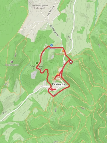
Starting near Donnersbergkreis, Germany, the Kupferweg 2 trail offers a delightful 7 km (approximately 4.3 miles) loop with an elevation gain of around 200 meters (656 feet). This medium-difficulty trail is perfect for hikers looking to explore the natural beauty and historical richness of the region.
### Getting There To reach the trailhead, you can drive or use public transport. If driving, head towards Donnersbergkreis and look for parking near the village of Dannenfels, which is the closest significant landmark. For those using public transport, take a train to Kirchheimbolanden and then a local bus to Dannenfels. The trailhead is conveniently located near the village, making it easily accessible.
### Trail Navigation For navigation, it's highly recommended to use the HiiKER app, which provides detailed maps and real-time updates to ensure you stay on track.
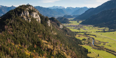
### Trail Highlights As you embark on the Kupferweg 2 trail, you'll be greeted by a variety of landscapes, from dense forests to open meadows. The trail is well-marked, but always keep an eye out for the distinctive copper-colored trail markers.
#### Historical Significance The region around Donnersbergkreis is steeped in history. The trail itself is named after the copper mining activities that once thrived here. As you hike, you'll come across remnants of old mining operations, including abandoned shafts and informational plaques that provide insight into the area's industrial past.
#### Natural Beauty Around the 2 km (1.2 miles) mark, you'll enter a lush forested area. The dense canopy provides ample shade, making this section particularly enjoyable during warmer months. Keep an eye out for local wildlife, including deer and various bird species. The forest floor is often carpeted with wildflowers in the spring, adding a splash of color to your hike.
#### Scenic Vistas Approximately 4 km (2.5 miles) into the hike, you'll reach a high point that offers panoramic views of the surrounding countryside. This is an excellent spot to take a break and enjoy the scenery. The elevation gain to this point is about 150 meters (492 feet), so be prepared for a bit of a climb.
### Practical Tips - Footwear: Given the varied terrain, sturdy hiking boots are recommended. - Weather: Check the weather forecast before you go, as conditions can change rapidly. - Supplies: Bring enough water and snacks, especially if you plan to take your time exploring the historical sites and natural beauty along the way. - Safety: Always let someone know your hiking plans and estimated return time.
### Wildlife and Flora The trail is home to a diverse range of flora and fauna. In addition to deer, you might spot foxes and various small mammals. Birdwatchers will appreciate the variety of species, including woodpeckers and songbirds. The flora is equally diverse, with oak and beech trees dominating the forested sections, while the meadows are rich with wildflowers and grasses.
### Return to Trailhead The final stretch of the trail loops back towards Dannenfels, gradually descending through more open terrain. This section is less strenuous, allowing you to enjoy the final moments of your hike at a leisurely pace. The total elevation gain for the entire loop is around 200 meters (656 feet), making it a manageable hike for those with moderate experience.
By the time you return to the trailhead, you'll have experienced a rich tapestry of natural beauty and historical intrigue, making the Kupferweg 2 trail a memorable adventure.
Reviews
User comments, reviews and discussions about the Kupferweg 2, Germany.
5.0
average rating out of 5
4 rating(s)


