9.8 km
~2 hrs 9 min
118 m
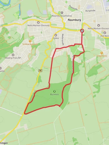
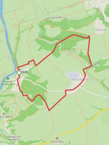
“Explore lush forests, historical mining sites, and panoramic views on this 10 km moderate loop trail.”
Starting near the Burgenlandkreis region in Germany, this 10 km (approximately 6.2 miles) loop trail offers a moderate hiking experience with an elevation gain of around 100 meters (328 feet). The trailhead is easily accessible by car or public transport. If you're driving, you can park near the town of Bad Kösen, which is the closest significant landmark. For those using public transport, take a train to Bad Kösen station and then a short bus ride to the trailhead.
### Trail Overview
The trail begins with a gentle ascent, winding through lush forests and open meadows. As you start your hike, you'll notice the diverse flora, including oak and beech trees, which provide ample shade. The initial part of the trail is relatively easy, making it a good warm-up for the more challenging sections ahead.
### Significant Landmarks
Around the 2 km (1.2 miles) mark, you'll come across the first significant landmark, the Pauscha Loebitz viewpoint. This spot offers panoramic views of the surrounding countryside, making it an excellent place for a short break and some photography. The elevation gain to this point is minimal, around 30 meters (98 feet), making it accessible for most hikers.
Continuing along the trail, you'll reach the Rundweg Goldschau section at approximately 5 km (3.1 miles). This part of the trail is known for its historical significance. The area was once a site of medieval gold mining, and you can still see remnants of old mining equipment and tunnels. Interpretive signs along the way provide fascinating insights into the region's mining history.
### Wildlife and Nature
As you hike through the Rundweg Goldschau, keep an eye out for local wildlife. Deer, foxes, and various bird species are commonly spotted in this area. The trail also passes by several small streams, which are home to frogs and other amphibians. The biodiversity here is remarkable, making it a great spot for nature enthusiasts.
### Final Stretch
The last 3 km (1.9 miles) of the trail take you through a series of rolling hills and open fields. This section is relatively flat, with an elevation gain of about 20 meters (65 feet). The landscape opens up, offering expansive views of the Burgenlandkreis region. As you approach the end of the loop, you'll pass by a small chapel, a serene spot perfect for a moment of reflection.
### Navigation and Safety
For navigation, it's highly recommended to use the HiiKER app, which provides detailed maps and real-time updates. The trail is well-marked, but having a reliable navigation tool ensures you stay on track. Always carry enough water, especially during the summer months, as some sections of the trail are exposed to the sun.
### Getting There
To reach the trailhead, if you're driving, set your GPS to Bad Kösen. There are several parking options available in the town. For public transport users, take a train to Bad Kösen station. From there, local buses can take you closer to the trailhead, or you can opt for a short taxi ride.
This trail offers a blend of natural beauty, historical intrigue, and moderate physical challenge, making it a rewarding experience for hikers of all levels.
Reviews
User comments, reviews and discussions about the Silberberg via Rundweg Pauscha Loebitz and Rundweg Goldschau, Germany.
0.0
average rating out of 5
0 rating(s)


