The best hikes in Bayreuth
Germany · 134 HiiKER Hikes
View Hikes on map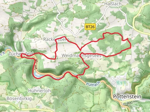

What to expect
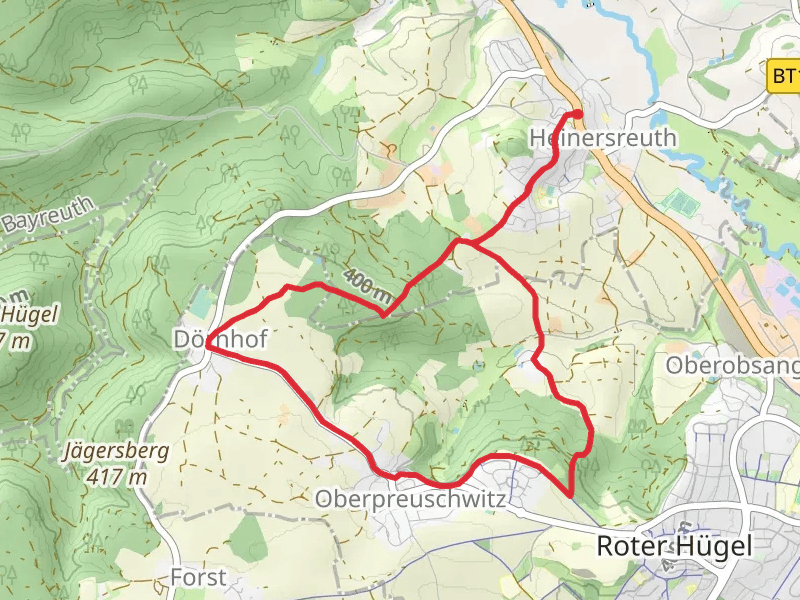
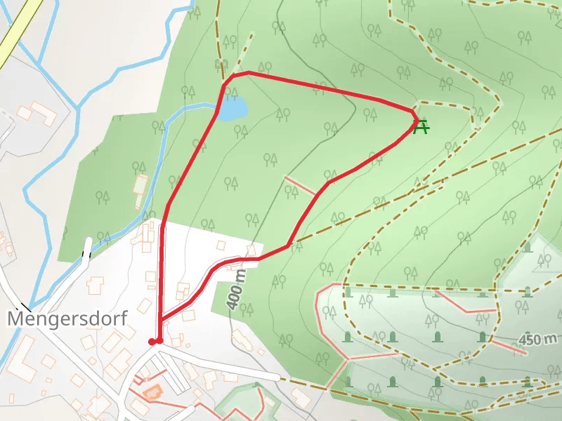
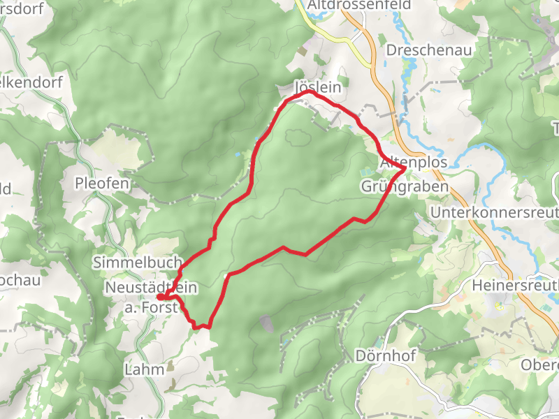
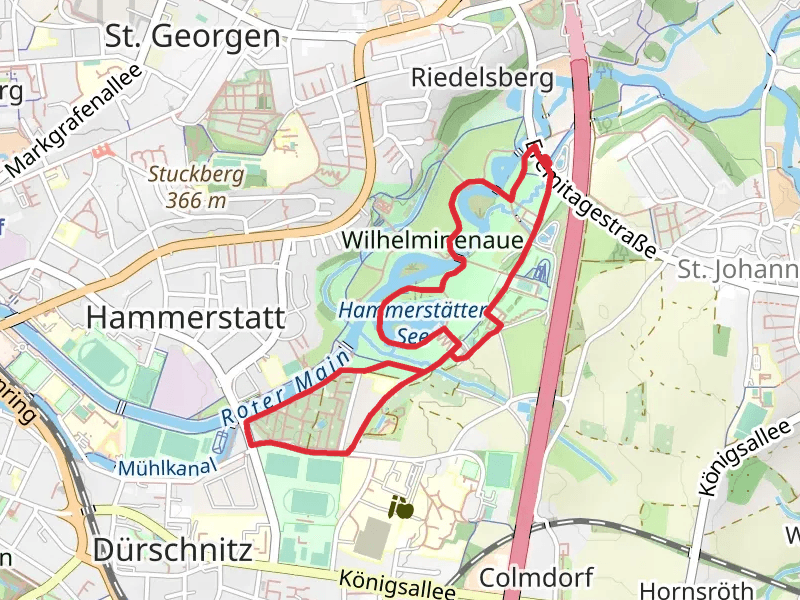
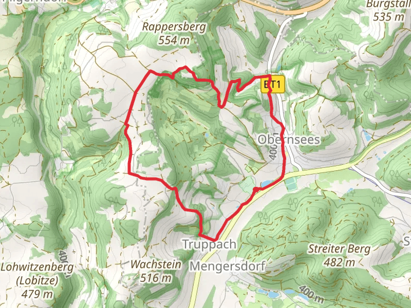
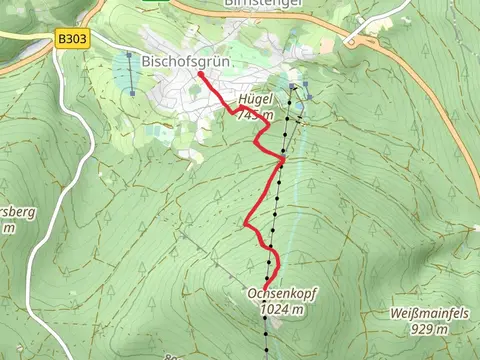
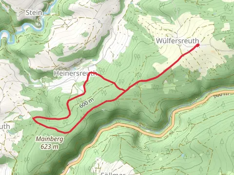
Check out some of the best hiking, walking and backpacking routes in Bayreuth, Germany. The Naturlehrpfad and Weidenberg Loop is the most popular trail. The trails have 279 user reviews with great photos and information. There are trails of various difficulty levels including easy, medium, and difficult. The trail with the highest elevation climb is the Nußhardt and Schneeberg Peak Walk via Seenweg and the trail with the least amount of climbing is the Wilhelminenaue, Hammerstatter See and Kleingartenanlage Am Flößanger Loop. The longest trail is the Mistelbach and Hummeltal Loop at 18.9 km. For a shorter adventure you can try the Kindererlebnisweg im Zauberwald Loop at 934 m. Get off line access to Restaurant, Peak, Town, and Shelter locations and much more with a Hiiker subscription.

Be prepared for hiking in Germany with the HiiKER app