7.9 km
~1 hrs 53 min
194 m
“Explore the Baunach Stiefenbergrunde: a scenic, historical 8 km trail near Bamberg, Germany, perfect for adventurers.”
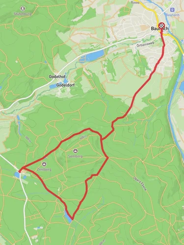
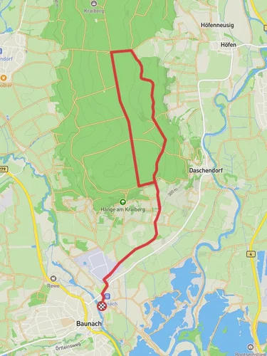
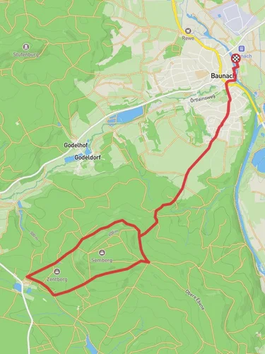
Starting near the picturesque town of Bamberg, Germany, the Baunach Stiefenbergrunde is an 8 km (approximately 5 miles) loop trail with an elevation gain of around 100 meters (328 feet). This medium-difficulty trail offers a delightful mix of natural beauty, historical landmarks, and serene landscapes, making it a rewarding experience for hikers of all levels.
### Getting There To reach the trailhead, you can either drive or use public transport. If driving, head towards Baunach, a small town located about 15 km (9 miles) north of Bamberg. There are parking facilities available near the trailhead. For those using public transport, take a train or bus to Bamberg and then a local bus to Baunach. The nearest significant landmark to the trailhead is the Baunach town center.
### Trail Navigation For navigation, it is highly recommended to use the HiiKER app, which provides detailed maps and real-time updates to ensure you stay on track throughout your hike.
### Trail Highlights
#### Nature and Wildlife The trail meanders through a variety of landscapes, including dense forests, open meadows, and gentle hills. As you hike, keep an eye out for local wildlife such as deer, foxes, and a variety of bird species. The flora is equally diverse, with oak, beech, and pine trees dominating the forested sections, while wildflowers and grasses adorn the meadows.
#### Historical Significance One of the most intriguing aspects of this trail is its historical significance. The region around Bamberg has a rich history dating back to the medieval period. As you hike, you will come across several historical landmarks, including ancient stone markers and remnants of old fortifications. These landmarks offer a glimpse into the area's past and are perfect spots for a brief rest and some photography.
### Key Sections of the Trail
#### Initial Ascent The trail begins with a gentle ascent through a forested area. This section is relatively easy and provides a good warm-up for the rest of the hike. The elevation gain here is about 50 meters (164 feet) over the first 2 km (1.2 miles).
#### Midway Point Around the 4 km (2.5 miles) mark, you will reach the highest point of the trail. This section offers panoramic views of the surrounding countryside, including the distant spires of Bamberg. It's an excellent spot for a break and some photos. The elevation gain here is another 50 meters (164 feet), making it the most challenging part of the hike.
#### Descent and Return The final 4 km (2.5 miles) of the trail involve a gradual descent back towards Baunach. This section is less strenuous and allows you to enjoy the serene beauty of the meadows and farmlands. As you approach the end of the trail, you will pass by several small farms and rural homes, giving you a taste of local life.
### Practical Tips - Footwear: Given the mixed terrain, sturdy hiking boots are recommended. - Weather: Check the weather forecast before you go, as the trail can become slippery in wet conditions. - Supplies: Carry enough water and snacks, as there are no facilities along the trail. - Wildlife: Be respectful of the local wildlife and maintain a safe distance.
This trail offers a perfect blend of natural beauty and historical intrigue, making it a must-visit for anyone in the Bamberg area.
Reviews
User comments, reviews and discussions about the Baunach Stiefenbergrunde, Germany.
0.0
average rating out of 5
0 rating(s)


