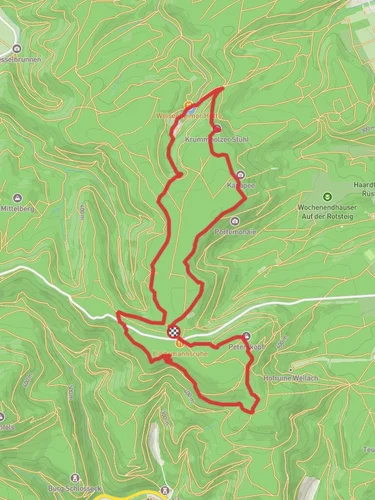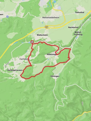
Kesselbrunnen and Ungeheuersee Loop via Pfaelzerwald Gruenes Kreuz
7.7 km
~2 hrs 6 min
346 m
“"Explore the enchanting Palatinate Forest on this scenic 8 km loop near Bad Dürkheim, perfect for moderate hikers."”
Starting near the picturesque town of Bad Dürkheim in Germany, the Kesselbrunnen and Ungeheuersee Loop via Pfaelzerwald Gruenes Kreuz is an 8 km (approximately 5 miles) loop trail with an elevation gain of around 300 meters (984 feet). This trail is rated as medium difficulty, making it suitable for moderately experienced hikers.
### Getting There To reach the trailhead, you can either drive or use public transport. If driving, set your GPS to Bad Dürkheim, and look for parking near the trailhead, which is conveniently located close to the town center. For those using public transport, take a train to Bad Dürkheim station. From there, it's a short walk to the trailhead.
### Trail Overview The trail begins with a gentle ascent through the lush, dense forest of the Palatinate Forest (Pfaelzerwald), a UNESCO Biosphere Reserve. The initial part of the hike is shaded, making it a pleasant start even on warmer days. As you ascend, you'll notice the forest floor is carpeted with ferns and moss, and the air is filled with the scent of pine and earth.
### Key Landmarks and Points of Interest #### Kesselbrunnen About 2 km (1.2 miles) into the hike, you'll reach Kesselbrunnen, a natural spring that has been a vital water source for centuries. The area around the spring is serene, offering a perfect spot for a short break. The water is crystal clear and cold, a refreshing treat for hikers.
#### Ungeheuersee Continuing on, around the 4 km (2.5 miles) mark, you'll arrive at Ungeheuersee, a small but enchanting lake. The name translates to "Monster Lake," but don't let that deter you; it's named for its mysterious, dark waters. The lake is surrounded by dense forest, and the reflection of the trees on the water creates a mesmerizing view. This is an ideal spot for a longer rest or a picnic. Keep an eye out for local wildlife, including deer and various bird species.
### Historical Significance The Palatinate Forest has a rich history dating back to Roman times. The area was once a significant part of the Roman Empire, and remnants of ancient Roman roads and settlements can still be found. The forest also played a crucial role during the medieval period, serving as a hunting ground for nobility. As you hike, you might come across old stone markers and ruins that hint at this storied past.
### Navigation and Safety The trail is well-marked with the Gruenes Kreuz (Green Cross) symbol, but it's always wise to have a reliable navigation tool. The HiiKER app is highly recommended for this purpose, offering detailed maps and real-time GPS tracking to ensure you stay on course.
### Flora and Fauna The Palatinate Forest is home to a diverse range of flora and fauna. In spring and summer, the trail is adorned with wildflowers, while autumn brings a stunning display of fall foliage. Wildlife enthusiasts might spot red deer, wild boar, and a variety of bird species, including woodpeckers and owls.
### Final Stretch The final 2 km (1.2 miles) of the loop take you through a series of gentle descents back towards Bad Dürkheim. The trail opens up occasionally, offering glimpses of the surrounding hills and valleys. As you near the end, the forest gives way to more open terrain, and you'll find yourself back at the trailhead, enriched by the natural beauty and historical depth of the Palatinate Forest.
Reviews
User comments, reviews and discussions about the Kesselbrunnen and Ungeheuersee Loop via Pfaelzerwald Gruenes Kreuz, Germany.
0.0
average rating out of 5
0 rating(s)


