The best hikes in Augsburg (district)
Germany · 8 HiiKER Hikes
View Hikes on map

What to expect
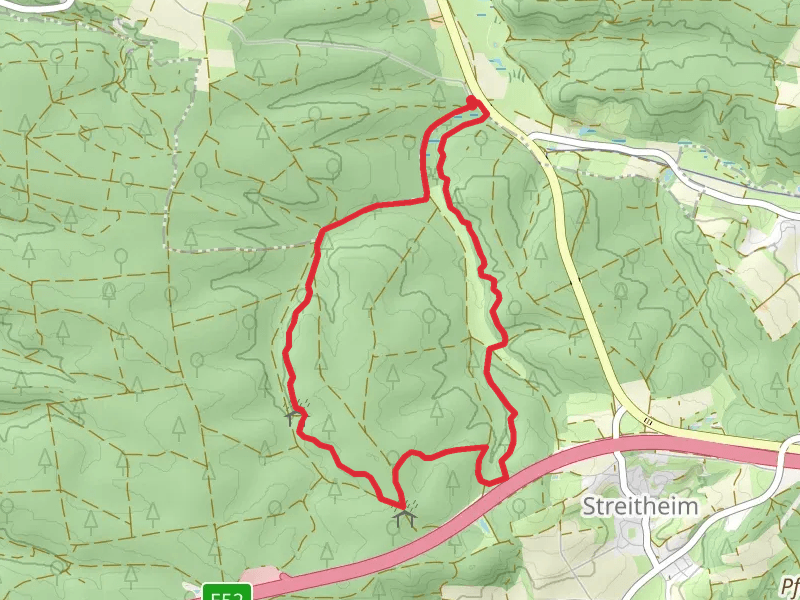
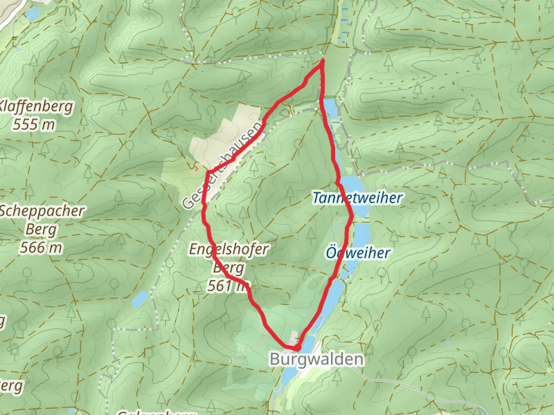
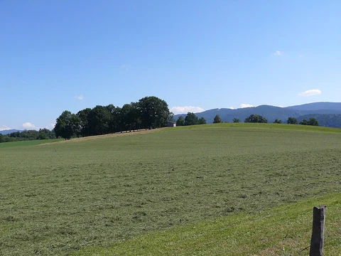
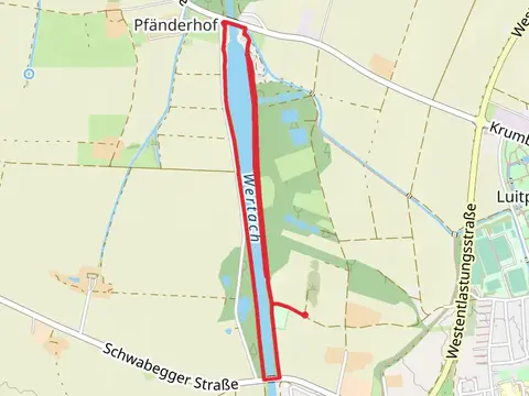
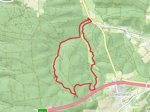
Check out some of the best hiking, walking and backpacking routes in Augsburg (district), Germany. The Oggenhof Loop via Blaues X is the most popular trail. The trails have 21 user reviews with great photos and information. There are trails of various difficulty levels including easy and medium. The trail with the highest elevation climb is the Kolweiher via Durch das Teufelstal and the trail with the least amount of climbing is the Wertach Stausee Loop via Pfarrer Kneipp Weg. The longest trail is the Lechstaustufe 21 Loop at 8.7 km. For a shorter adventure you can try the Wertach Stausee Loop via Pfarrer Kneipp Weg at 4.1 km. Get off line access to Peak, Town, Shelter, and Viewpoint locations and much more with a Hiiker subscription.

Be prepared for hiking in Germany with the HiiKER app