9.4 km
~2 hrs 43 min
503 m
“Adventure through Hoernle via Eiszeitjaegerpfad for stunning vistas and rich historical exploration in Germany's captivating landscapes.”
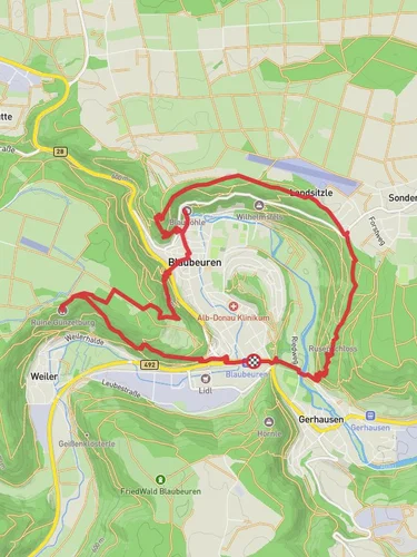
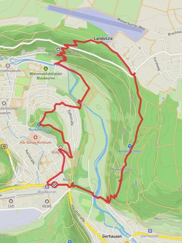
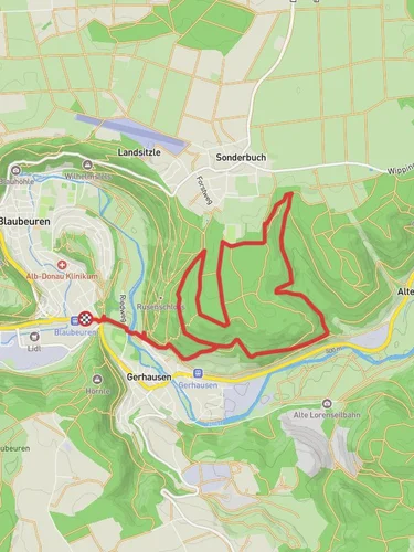
Nestled in the picturesque region of Alb-Donau-Kreis, Germany, the Hoernle via Eiszeitjaegerpfad trail offers a challenging yet rewarding hiking experience. This loop trail spans approximately 9 kilometers (about 5.6 miles) with an elevation gain of around 500 meters (approximately 1,640 feet), making it suitable for experienced hikers seeking a demanding adventure.
### Getting There
To reach the trailhead, you can drive to the vicinity of Alb-Donau-Kreis, where parking is available near the start of the trail. For those relying on public transport, the nearest major town is Ulm. From Ulm, you can take a regional train or bus to Blaubeuren, a charming town known for its historical significance and natural beauty. From Blaubeuren, local buses or taxis can take you closer to the trailhead.
### Trail Highlights
The trail begins with a gentle ascent through dense forests, where the air is filled with the scent of pine and the sounds of chirping birds. As you progress, the path becomes steeper, offering glimpses of the surrounding Swabian Jura landscape. The trail is well-marked, but it's advisable to use the HiiKER app for navigation to ensure you stay on track.
#### Nature and Wildlife
The Hoernle via Eiszeitjaegerpfad is renowned for its diverse flora and fauna. As you hike, keep an eye out for native wildlife such as deer and various bird species. The trail meanders through lush meadows and dense woodlands, providing ample opportunities to appreciate the region's natural beauty. In spring and summer, the meadows burst into color with wildflowers, creating a vibrant tapestry against the backdrop of the forest.
#### Historical Significance
This region is steeped in history, with evidence of human habitation dating back to the Ice Age. The trail's name, Eiszeitjaegerpfad, translates to "Ice Age Hunter's Path," reflecting its historical roots. As you hike, you'll encounter several interpretive signs that provide insights into the area's prehistoric past, including the lives of early human settlers who once roamed these lands.
### Landmarks and Scenic Views
Approximately halfway through the hike, you'll reach a vantage point offering panoramic views of the Swabian Jura. This is an ideal spot to take a break and soak in the breathtaking scenery. On clear days, you can see for miles, with rolling hills and dense forests stretching out before you.
Continuing along the loop, the trail descends gradually, leading you back through serene woodlands and past small streams. The sound of flowing water adds a tranquil element to the hike, enhancing the overall experience.
### Trail Considerations
Given the trail's difficulty rating, it's important to come prepared. Ensure you have sturdy hiking boots, sufficient water, and snacks to keep your energy levels up. Weather conditions can change rapidly, so dressing in layers is recommended. The trail can be slippery in wet conditions, so exercise caution, especially on steeper sections.
The Hoernle via Eiszeitjaegerpfad offers a challenging yet enriching journey through one of Germany's most captivating landscapes. Whether you're drawn by the promise of stunning vistas, the allure of historical exploration, or the chance to immerse yourself in nature, this trail promises an unforgettable adventure.
Reviews
User comments, reviews and discussions about the Hoernle via Eiszeitjaegerpfad, Germany.
0.0
average rating out of 5
0 rating(s)


