The best hikes in Lumpkin County
Georgia · 37 HiiKER Hikes
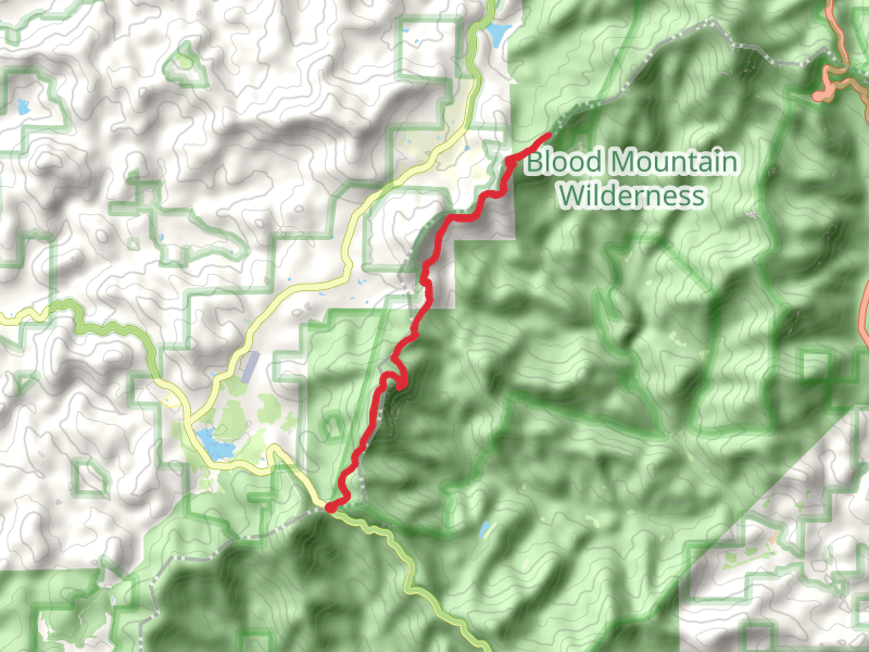
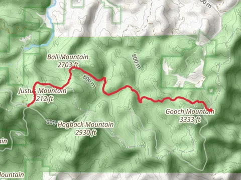
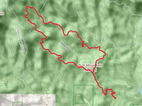
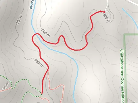
View Hikes on map
What to expect
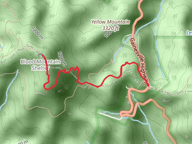
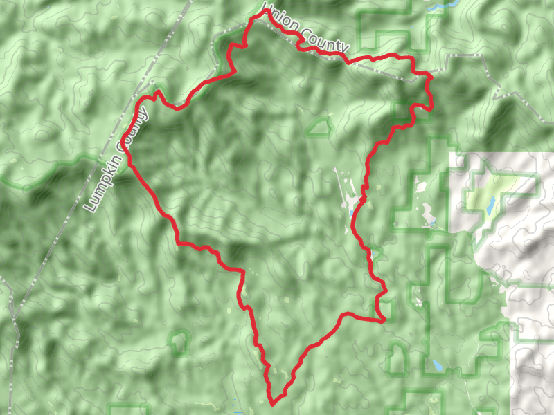
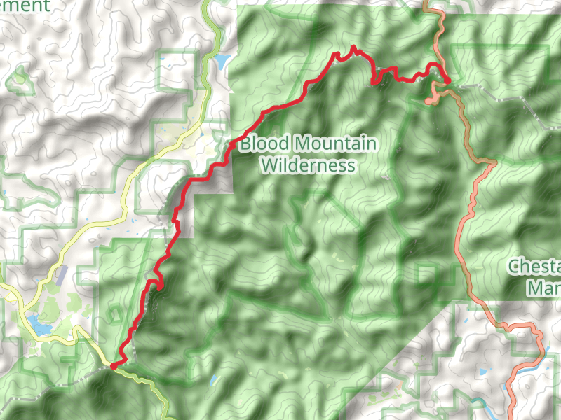
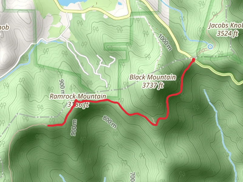
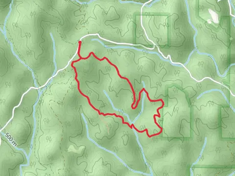
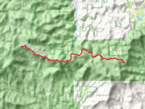
Check out some of the best hiking, walking and backpacking routes in Lumpkin County, Georgia. The Coopers Gap Road and Winding Stair Gap Road Loop is the most popular trail. There are trails of various difficulty levels including easy and medium. The trail with the highest elevation climb is the Appalachian Trail from Woody Gap and the trail with the least amount of climbing is the Lake Zwerner Loop. The longest trail is the Ramrock Mountain to Springer Mountain via Appalachian Trail at 34.9 km. For a shorter adventure you can try the Cane Creek Falls at 800 m. Get off line access to Shelter, Water, Peak, and Campsite locations and much more with a Hiiker subscription.

Be prepared for hiking in Georgia with the HiiKER app