The best hikes in Catoosa County
Georgia · 5 HiiKER Hikes
View Hikes on map

What to expect
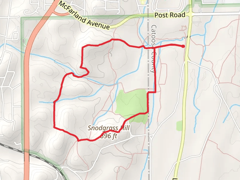
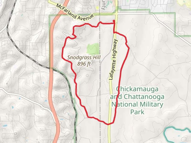
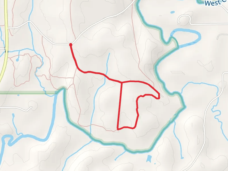
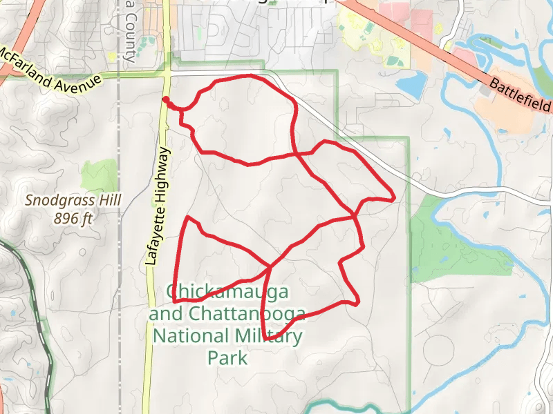
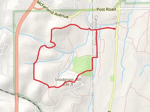
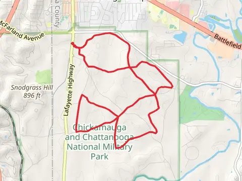
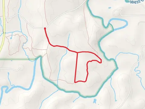
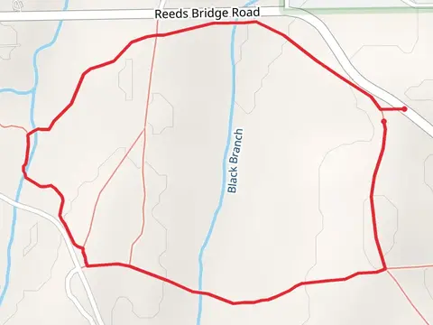
Check out some of the best hiking, walking and backpacking routes in Catoosa County, Georgia. The Lafayette Highway East Loop is the most popular trail. The trail with the highest elevation climb is the Snodgrass Hill Loop from Lafayette Highway and the trail with the least amount of climbing is the Vinyard-Alexander Road Loop - South. The longest trail is the Lafayette Highway East Loop at 15.1 km. For a shorter adventure you can try the Reeds Bridge Road Loop - West at 4.0 km. Get off line access to Shelter, Healthcare, Restaurant, and Fastfood locations and much more with a Hiiker subscription.

Be prepared for hiking in Georgia with the HiiKER app